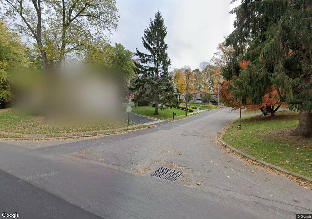
4 Delbar Dr Budd Lake, NJ 07828
Estimated Value: $672,000 - $929,000
--
Bed
--
Bath
3,138
Sq Ft
$247/Sq Ft
Est. Value
About This Home
This home is located at 4 Delbar Dr, Budd Lake, NJ 07828 and is currently estimated at $776,359, approximately $247 per square foot. 4 Delbar Dr is a home located in Morris County with nearby schools including Mt Olive Middle School and Mount Olive High School.
Ownership History
Date
Name
Owned For
Owner Type
Purchase Details
Closed on
Jul 11, 2005
Sold by
Oconnor Jomes
Bought by
Nugent Robert and Nugent Jennifer
Current Estimated Value
Home Financials for this Owner
Home Financials are based on the most recent Mortgage that was taken out on this home.
Original Mortgage
$300,000
Outstanding Balance
$156,705
Interest Rate
5.67%
Mortgage Type
New Conventional
Estimated Equity
$619,654
Purchase Details
Closed on
May 21, 1996
Sold by
Lundberg Daniel P and Lundberg Susan T
Bought by
Oconnor James B and Oconnor Christine
Home Financials for this Owner
Home Financials are based on the most recent Mortgage that was taken out on this home.
Original Mortgage
$156,750
Interest Rate
7.91%
Create a Home Valuation Report for This Property
The Home Valuation Report is an in-depth analysis detailing your home's value as well as a comparison with similar homes in the area
Home Values in the Area
Average Home Value in this Area
Purchase History
| Date | Buyer | Sale Price | Title Company |
|---|---|---|---|
| Nugent Robert | $375,000 | -- | |
| Oconnor James B | $165,000 | -- |
Source: Public Records
Mortgage History
| Date | Status | Borrower | Loan Amount |
|---|---|---|---|
| Open | Nugent Robert | $300,000 | |
| Previous Owner | Oconnor James B | $156,750 |
Source: Public Records
Tax History Compared to Growth
Tax History
| Year | Tax Paid | Tax Assessment Tax Assessment Total Assessment is a certain percentage of the fair market value that is determined by local assessors to be the total taxable value of land and additions on the property. | Land | Improvement |
|---|---|---|---|---|
| 2025 | $14,693 | $421,600 | $149,000 | $272,600 |
| 2024 | $13,858 | $421,600 | $149,000 | $272,600 |
| 2023 | $13,858 | $421,600 | $149,000 | $272,600 |
| 2022 | $14,157 | $421,600 | $149,000 | $272,600 |
| 2021 | $14,157 | $421,600 | $149,000 | $272,600 |
| 2020 | $13,968 | $421,600 | $149,000 | $272,600 |
| 2019 | $13,921 | $421,600 | $149,000 | $272,600 |
| 2018 | $13,786 | $421,600 | $149,000 | $272,600 |
| 2017 | $13,546 | $421,600 | $149,000 | $272,600 |
| 2016 | $13,116 | $421,600 | $149,000 | $272,600 |
| 2015 | $13,424 | $407,000 | $149,000 | $258,000 |
| 2014 | $12,971 | $407,000 | $149,000 | $258,000 |
Source: Public Records
Map
Nearby Homes
- 6 Delbar Dr
- 2 Delbar Dr
- 2 Flanders Rd
- 1 Delbar Dr
- 3 Pershing Ave
- 8 Delbar Dr
- 7 Delbar Dr
- 46 Mount Olive Rd
- 32 Mount Olive Rd
- 42 Mount Olive Rd
- 30 Mount Olive Rd
- 38 Mount Olive Rd
- 28 Mount Olive Rd
- 26 Mount Olive Rd
- 5 Pershing Ave
- 1 Flanders Rd
- 10 Delbar Dr
- 9 Delbar Dr
- 7 Pershing Ave
- 39 Mount Olive Rd