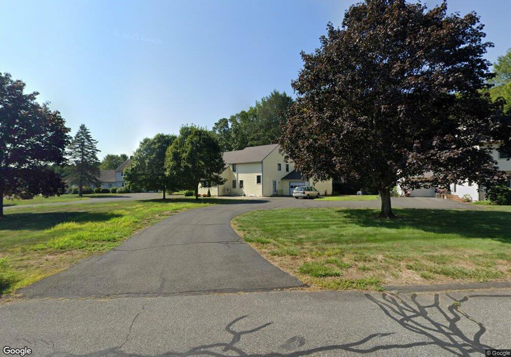
4 Duncan Dr Unit B South Deerfield, MA 01373
Estimated Value: $313,000 - $370,000
2
Beds
2
Baths
1,344
Sq Ft
$252/Sq Ft
Est. Value
About This Home
This home is located at 4 Duncan Dr Unit B, South Deerfield, MA 01373 and is currently estimated at $339,053, approximately $252 per square foot. 4 Duncan Dr Unit B is a home located in Franklin County with nearby schools including Deerfield Elementary School and Frontier Regional School.
Ownership History
Date
Name
Owned For
Owner Type
Purchase Details
Closed on
Jan 21, 2003
Sold by
Clydesdale Nancy J
Bought by
Colin Elfriede
Current Estimated Value
Purchase Details
Closed on
Apr 18, 2002
Sold by
Giles Susan E
Bought by
Clydesdale Nancy J
Home Financials for this Owner
Home Financials are based on the most recent Mortgage that was taken out on this home.
Original Mortgage
$111,900
Interest Rate
6.85%
Mortgage Type
Purchase Money Mortgage
Create a Home Valuation Report for This Property
The Home Valuation Report is an in-depth analysis detailing your home's value as well as a comparison with similar homes in the area
Home Values in the Area
Average Home Value in this Area
Purchase History
| Date | Buyer | Sale Price | Title Company |
|---|---|---|---|
| Colin Elfriede | $140,000 | -- | |
| Clydesdale Nancy J | $126,900 | -- |
Source: Public Records
Mortgage History
| Date | Status | Borrower | Loan Amount |
|---|---|---|---|
| Previous Owner | Clydesdale Nancy J | $111,900 |
Source: Public Records
Tax History Compared to Growth
Tax History
| Year | Tax Paid | Tax Assessment Tax Assessment Total Assessment is a certain percentage of the fair market value that is determined by local assessors to be the total taxable value of land and additions on the property. | Land | Improvement |
|---|---|---|---|---|
| 2025 | $3,787 | $285,800 | $0 | $285,800 |
| 2024 | $3,902 | $281,700 | $0 | $281,700 |
| 2023 | $3,325 | $222,100 | $0 | $222,100 |
| 2022 | $3,312 | $218,300 | $0 | $218,300 |
| 2021 | $3,455 | $218,000 | $0 | $218,000 |
| 2020 | $3,376 | $215,200 | $0 | $215,200 |
| 2019 | $3,403 | $213,900 | $0 | $213,900 |
| 2018 | $3,091 | $193,800 | $0 | $193,800 |
| 2017 | $2,903 | $188,500 | $0 | $188,500 |
| 2016 | $2,890 | $189,500 | $0 | $189,500 |
| 2015 | $2,852 | $190,900 | $0 | $190,900 |
Source: Public Records
Map
Nearby Homes
- 30 Lee Rd
- 68 Boynton Rd
- 71 Mathews Rd
- 107 Plain Rd
- 59 Hoosac Rd
- 345 Greenfield Rd
- 208 Greenfield Rd
- 40 Hawks Rd
- 901 Roaring Brook Rd
- 40 Whately Glen Rd
- 24 Elm St
- 0 Pocumtuck Dr Unit 73379330
- 14 River St
- 49 Eastern Ave
- 15 Crestview Dr
- 2 Robs Way
- 0 Mountain Rd
- 0 Pleasant St
- 477 River Rd
- 4 Gray Lock Ln Unit A
- 4 Duncan Dr Unit A
- 4 Duncan Dr Unit 4B
- 3 Duncan Dr Unit B
- 3 Duncan Dr Unit A
- 3 Duncan Dr Unit 3A
- 5 Duncan Dr Unit B
- 5 Duncan Dr Unit A
- 4A Duncan Dr Unit A4
- 6 Duncan Dr Unit B
- 6 Duncan Dr Unit A
- 2 Duncan Dr Unit B
- 2 Duncan Dr Unit A
- 2A Duncan Dr Unit 2
- 2A Duncan Dr Unit 2A
- 8B Duncan Dr Unit B
- 8 A Duncan Dr Unit 8A
- 1 Duncan Dr Unit B
- 1 Duncan Dr Unit A
- 1 Duncan Dr Unit A1
- 7 Duncan Dr Unit B