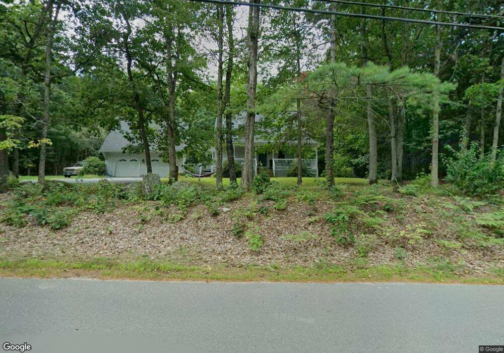
4 Dupaw Gould Rd Brookline, NH 03033
Estimated Value: $705,516 - $870,000
3
Beds
3
Baths
3,301
Sq Ft
$231/Sq Ft
Est. Value
About This Home
This home is located at 4 Dupaw Gould Rd, Brookline, NH 03033 and is currently estimated at $763,129, approximately $231 per square foot. 4 Dupaw Gould Rd is a home with nearby schools including Richard Maghakian Memorial School, Captain Samuel Douglass Academy, and Hollis-Brookline Middle School.
Ownership History
Date
Name
Owned For
Owner Type
Purchase Details
Closed on
Jul 11, 2019
Sold by
Angel Mark J and Rubinstein-Angel Anita
Bought by
Critchfield Brent A and Critchfield Lindy M
Current Estimated Value
Home Financials for this Owner
Home Financials are based on the most recent Mortgage that was taken out on this home.
Original Mortgage
$305,600
Outstanding Balance
$268,172
Interest Rate
3.9%
Mortgage Type
Purchase Money Mortgage
Estimated Equity
$494,957
Create a Home Valuation Report for This Property
The Home Valuation Report is an in-depth analysis detailing your home's value as well as a comparison with similar homes in the area
Home Values in the Area
Average Home Value in this Area
Purchase History
| Date | Buyer | Sale Price | Title Company |
|---|---|---|---|
| Critchfield Brent A | $382,000 | -- |
Source: Public Records
Mortgage History
| Date | Status | Borrower | Loan Amount |
|---|---|---|---|
| Open | Critchfield Brent A | $305,600 |
Source: Public Records
Tax History Compared to Growth
Tax History
| Year | Tax Paid | Tax Assessment Tax Assessment Total Assessment is a certain percentage of the fair market value that is determined by local assessors to be the total taxable value of land and additions on the property. | Land | Improvement |
|---|---|---|---|---|
| 2024 | $13,722 | $606,900 | $206,600 | $400,300 |
| 2023 | $12,611 | $606,900 | $206,600 | $400,300 |
| 2022 | $10,815 | $363,900 | $121,800 | $242,100 |
| 2021 | $10,400 | $363,900 | $121,800 | $242,100 |
| 2020 | $10,116 | $363,900 | $121,800 | $242,100 |
| 2019 | $10,870 | $363,900 | $121,800 | $242,100 |
| 2018 | $10,757 | $363,900 | $121,800 | $242,100 |
| 2017 | $9,974 | $302,800 | $99,500 | $203,300 |
| 2016 | $9,836 | $302,100 | $99,500 | $202,600 |
| 2015 | $9,380 | $302,100 | $99,500 | $202,600 |
| 2014 | $9,924 | $302,100 | $99,500 | $202,600 |
| 2013 | $9,555 | $302,100 | $99,500 | $202,600 |
Source: Public Records
Map
Nearby Homes
- 7 Winterberry Rd
- 9 Winterberry Rd
- 59 Cleveland Hill Rd
- 12 Old Milford Rd
- 9 Marjorie Dr
- 22 Hobart Hill Rd
- 3 Ben Farnsworth Rd
- 5 Carons Way
- 25 Rocky Pond Rd
- 104 N Mason Rd
- 38 Countryside Dr
- 4 Bohanon Bridge Rd
- 42 Pepperell Rd
- 6 Laurelcrest Dr
- 18 Sawtelle Rd
- 47 Pepperell Rd
- 8 Colburn Rd
- 46 Oak Hill Rd
- 6 Flint Meadow Dr
- 55 Oak Hill Rd
- 3 Dupaw Gould Rd
- 43 Mason Rd
- 10 Dupaw Gould Rd
- 44 Mason Rd
- 48 Mason Rd
- 39 Mason Rd
- 12 Dupaw Gould Rd
- 53 Mason Rd
- 52 Mason Rd
- 37 Mason Rd
- 14 Dupaw Gould Rd
- 11 Dupaw Gould Rd
- 43 Lake Potanipo Rd
- 55 Mason Rd
- 16 Dupaw Gould Rd
- 54 Mason Rd
- 41 Lake Potanipo Rd
- 39 Lake Potanipo Rd
- 39 Lake Potanipo Rd
- 37 Lake Potanipo Rd