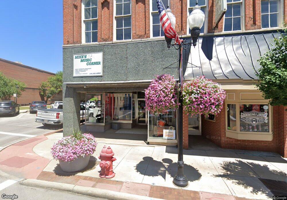
4 E Main St Ashland, OH 44805
Estimated Value: $151,525
Studio
--
Bath
3,080
Sq Ft
$49/Sq Ft
Est. Value
About This Home
This home is located at 4 E Main St, Ashland, OH 44805 and is currently estimated at $151,525, approximately $49 per square foot. 4 E Main St is a home located in Ashland County with nearby schools including Hillsdale Elementary School, Hillsdale Middle School, and Hillsdale High School.
Ownership History
Date
Name
Owned For
Owner Type
Purchase Details
Closed on
Jan 4, 2022
Sold by
Baf Hayesville Llc
Bought by
Tipton Jason and Tipton Cara
Current Estimated Value
Purchase Details
Closed on
Aug 27, 2015
Sold by
Hayesville Corn Crib Llc
Bought by
Baf Hayesville Llc
Purchase Details
Closed on
Oct 20, 2006
Sold by
Stoops David G
Purchase Details
Closed on
Jan 31, 2003
Sold by
Mosher Harold E
Bought by
Stoops David G
Purchase Details
Closed on
Apr 30, 1999
Sold by
Caudill Charles Raymond
Bought by
Mosher Harold E
Purchase Details
Closed on
Nov 17, 1978
Bought by
Caudill Charles Raymond
Create a Home Valuation Report for This Property
The Home Valuation Report is an in-depth analysis detailing your home's value as well as a comparison with similar homes in the area
Purchase History
| Date | Buyer | Sale Price | Title Company |
|---|---|---|---|
| Tipton Jason | -- | None Listed On Document | |
| Tipton Jason | -- | None Listed On Document | |
| Baf Hayesville Llc | $125,000 | Attorney Only | |
| -- | $85,000 | -- | |
| Stoops David G | $45,000 | -- | |
| Mosher Harold E | $72,000 | -- | |
| Caudill Charles Raymond | $25,000 | -- |
Source: Public Records
Tax History
| Year | Tax Paid | Tax Assessment Tax Assessment Total Assessment is a certain percentage of the fair market value that is determined by local assessors to be the total taxable value of land and additions on the property. | Land | Improvement |
|---|---|---|---|---|
| 2025 | $2,202 | $40,340 | $6,490 | $33,850 |
| 2024 | $2,202 | $40,340 | $6,490 | $33,850 |
| 2023 | $2,202 | $40,340 | $6,490 | $33,850 |
| 2022 | $2,191 | $40,340 | $6,490 | $33,850 |
| 2021 | $2,202 | $40,340 | $6,490 | $33,850 |
| 2020 | $2,068 | $40,340 | $6,490 | $33,850 |
| 2019 | $1,945 | $35,290 | $6,780 | $28,510 |
| 2018 | $1,995 | $35,290 | $6,780 | $28,510 |
| 2017 | $1,438 | $25,910 | $6,780 | $19,130 |
| 2016 | $1,445 | $25,910 | $6,780 | $19,130 |
| 2015 | $1,431 | $25,910 | $6,780 | $19,130 |
| 2013 | $1,518 | $28,210 | $6,440 | $21,770 |
Source: Public Records
Map
Nearby Homes
- 19 Harclay Ct
- 150 E Main St
- 820 County Road 30a
- 0 County Road 1754
- 399 County Road 2000
- 2195 Township Road 405
- 2057 State Route 89
- 1117 County Road 2075
- 1589 State Route 511
- 1084 Township Road 1806
- 496 Township Road 2402
- 609 Ohio 95
- 977-B Township Road 1514
- 1114 Surrey Cir
- 1314 Blossom Ln
- 1280 Davis Rd S
- 0 Eagle Way
- 2484 Fox Wood Dr
- 1551 Township Road 1153
- 1021 Jackson Dr
Your Personal Tour Guide
Ask me questions while you tour the home.