4 Flintlock Ridge Rd Westport, CT 06880
Red Coat NeighborhoodEstimated Value: $1,164,000 - $1,428,000
4
Beds
3
Baths
2,288
Sq Ft
$564/Sq Ft
Est. Value
About This Home
This home is located at 4 Flintlock Ridge Rd, Westport, CT 06880 and is currently estimated at $1,290,761, approximately $564 per square foot. 4 Flintlock Ridge Rd is a home located in Fairfield County with nearby schools including King's Highway Elementary School, Coleytown Middle School, and Staples High School.
Ownership History
Date
Name
Owned For
Owner Type
Purchase Details
Closed on
Dec 22, 1998
Sold by
Hartley Martha
Bought by
Allen John and Allen Ursula
Current Estimated Value
Home Financials for this Owner
Home Financials are based on the most recent Mortgage that was taken out on this home.
Original Mortgage
$300,000
Interest Rate
6.85%
Create a Home Valuation Report for This Property
The Home Valuation Report is an in-depth analysis detailing your home's value as well as a comparison with similar homes in the area
Home Values in the Area
Average Home Value in this Area
Purchase History
| Date | Buyer | Sale Price | Title Company |
|---|---|---|---|
| Allen John | $420,000 | -- | |
| Allen John | $420,000 | -- |
Source: Public Records
Mortgage History
| Date | Status | Borrower | Loan Amount |
|---|---|---|---|
| Closed | Allen John | $300,000 |
Source: Public Records
Tax History Compared to Growth
Tax History
| Year | Tax Paid | Tax Assessment Tax Assessment Total Assessment is a certain percentage of the fair market value that is determined by local assessors to be the total taxable value of land and additions on the property. | Land | Improvement |
|---|---|---|---|---|
| 2025 | $9,338 | $495,100 | $299,500 | $195,600 |
| 2024 | $9,208 | $494,500 | $299,500 | $195,000 |
| 2023 | $9,074 | $494,500 | $299,500 | $195,000 |
| 2022 | $8,936 | $494,500 | $299,500 | $195,000 |
| 2021 | $8,936 | $494,500 | $299,500 | $195,000 |
| 2020 | $9,525 | $570,000 | $316,000 | $254,000 |
| 2019 | $9,610 | $570,000 | $316,000 | $254,000 |
| 2018 | $9,610 | $570,000 | $316,000 | $254,000 |
| 2017 | $9,610 | $570,000 | $316,000 | $254,000 |
| 2016 | $9,610 | $570,000 | $316,000 | $254,000 |
| 2015 | $9,063 | $501,000 | $261,400 | $239,600 |
| 2014 | $8,988 | $501,000 | $261,400 | $239,600 |
Source: Public Records
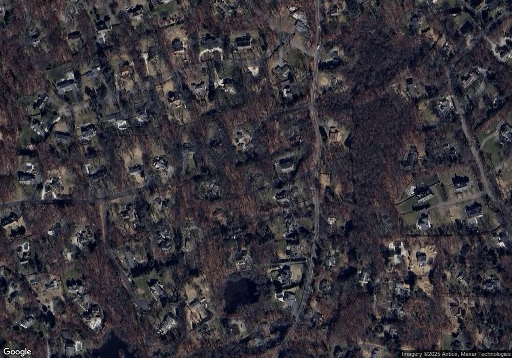
Map
Nearby Homes
- 25 Hermit Ln
- 28 Pin Oak Ct
- 4A Newtown Turnpike
- 40 Hermit Ln
- 4 Pin Oak Ct
- 30 Cavalry Rd
- 87 Red Coat Rd
- 10 Twin Falls Ln
- 250 Old Grumman Hill Rd
- 22 Huckleberry Ln
- 17 Huckleberry Ln
- 31 Riverfield Dr
- 4 Newtown Turnpike
- 487 Newtown Ave
- 20 Crawford Rd
- 29 Grumman Ave
- 10 Wilton Hunt Rd
- 5 River Ln
- 36 Bonnie Brook Rd
- 82 Partrick Rd
- 2 Pond Rd
- 4 Pond Rd
- 2 Flintlock Ridge Rd
- 135 Newtown Turnpike
- 25 Poplar Plains Rd
- 6 Flintlock Ridge Rd
- 121 Newtown Turnpike
- 5 Pond Rd
- 23 Poplar Plains Rd
- 1 Crow Hollow Ln
- 132 Newtown Turnpike
- 133 Newtown Turnpike
- 117 Newtown Turnpike
- 122 Newtown Turnpike
- 6 Pond Rd
- 139 Newtown Turnpike
- 115 Newtown Turnpike
- 21 Poplar Plains Rd
- 7 Bobwhite Dr
- 111 Newtown Turnpike