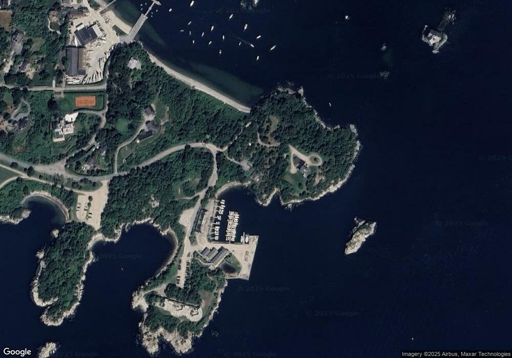
4 Fort Wetherill Rd Jamestown, RI 02835
Jamestown Village NeighborhoodEstimated Value: $5,062,779 - $8,283,000
4
Beds
2
Baths
1,901
Sq Ft
$3,510/Sq Ft
Est. Value
About This Home
This home is located at 4 Fort Wetherill Rd, Jamestown, RI 02835 and is currently estimated at $6,672,890, approximately $3,510 per square foot. 4 Fort Wetherill Rd is a home located in Newport County with nearby schools including Melrose Avenue School and Lawn Avenue School.
Ownership History
Date
Name
Owned For
Owner Type
Purchase Details
Closed on
Mar 6, 2018
Sold by
Hutchinson George M and Hutchinson Sarah H
Bought by
Bull Point Llc
Current Estimated Value
Purchase Details
Closed on
Dec 28, 2011
Sold by
Hutchinson Richard H
Bought by
Hutchinson Sarah H and Thayer-Hutchinson Louisa
Purchase Details
Closed on
Jan 2, 2007
Sold by
Phelan Wynne
Bought by
Hutchinson Nancy
Create a Home Valuation Report for This Property
The Home Valuation Report is an in-depth analysis detailing your home's value as well as a comparison with similar homes in the area
Home Values in the Area
Average Home Value in this Area
Purchase History
| Date | Buyer | Sale Price | Title Company |
|---|---|---|---|
| Bull Point Llc | -- | -- | |
| Hutchinson Sarah H | -- | -- | |
| Hutchinson Nancy | $60,000 | -- |
Source: Public Records
Tax History
| Year | Tax Paid | Tax Assessment Tax Assessment Total Assessment is a certain percentage of the fair market value that is determined by local assessors to be the total taxable value of land and additions on the property. | Land | Improvement |
|---|---|---|---|---|
| 2025 | $28,781 | $5,103,100 | $4,572,700 | $530,400 |
| 2024 | $26,658 | $3,718,000 | $3,289,100 | $428,900 |
| 2023 | $25,952 | $3,718,000 | $3,289,100 | $428,900 |
| 2022 | $25,245 | $3,718,000 | $3,289,100 | $428,900 |
| 2021 | $16,456 | $1,987,400 | $1,574,300 | $413,100 |
| 2020 | $16,038 | $1,987,400 | $1,574,300 | $413,100 |
| 2019 | $15,999 | $1,987,400 | $1,574,300 | $413,100 |
| 2018 | $15,024 | $1,697,600 | $1,355,700 | $341,900 |
| 2017 | $14,701 | $1,697,600 | $1,355,700 | $341,900 |
| 2016 | $14,168 | $1,651,300 | $1,355,700 | $295,600 |
| 2015 | $15,172 | $1,728,000 | $1,504,600 | $223,400 |
| 2014 | $15,120 | $1,728,000 | $1,504,600 | $223,400 |
Source: Public Records
Map
Nearby Homes
- 41 Walcott Ave
- 39 Walcott Ave
- 65 Ridge Rd Unit T11/W38
- 65 Ridge Rd Unit G29/W24
- 65 Ridge Rd Unit P37
- 65 Ridge Rd Unit T21/W23
- 0 Walcott Ave
- 104 Howland Ave
- 41 Castle Hill Ave
- 14 Clinton Ave
- 22 Cole St
- 73 Conanicus Ave Unit 4
- 77 Narragansett Ave Unit C
- 78 Narragansett Ave
- 111 Harrison Ave Unit A6
- 63 Longfellow Rd
- 46 North Rd
- 127 Longfellow Rd
- 382 Beavertail Rd
- 30 W Bay View Dr
Your Personal Tour Guide
Ask me questions while you tour the home.