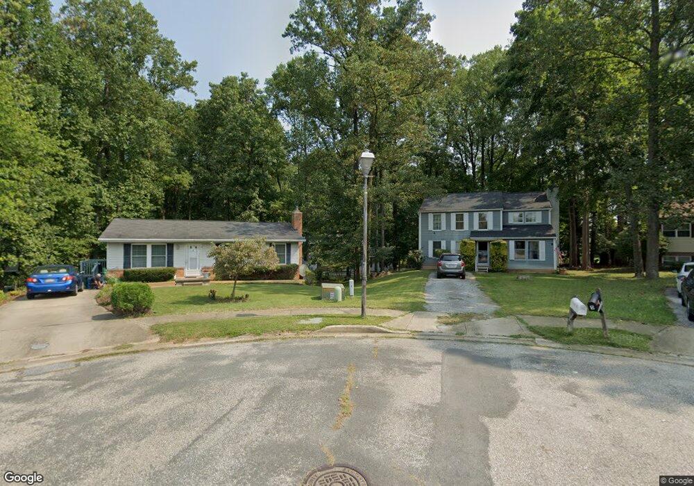
4 Fortnum Ct Unit A Randallstown, MD 21133
Estimated Value: $519,000 - $611,000
--
Bed
3
Baths
2,288
Sq Ft
$252/Sq Ft
Est. Value
About This Home
This home is located at 4 Fortnum Ct Unit A, Randallstown, MD 21133 and is currently estimated at $576,171, approximately $251 per square foot. 4 Fortnum Ct Unit A is a home located in Baltimore County with nearby schools including Deer Park Elementary School, Deer Park Middle Magnet School, and New Town High.
Ownership History
Date
Name
Owned For
Owner Type
Purchase Details
Closed on
May 8, 2017
Sold by
Wilkins Eva A
Bought by
Mason Jonathan L
Current Estimated Value
Home Financials for this Owner
Home Financials are based on the most recent Mortgage that was taken out on this home.
Original Mortgage
$348,570
Outstanding Balance
$289,720
Interest Rate
4.08%
Mortgage Type
FHA
Estimated Equity
$286,451
Purchase Details
Closed on
Oct 23, 1987
Sold by
Myers David B
Bought by
Wilkens Allen D and Wilkens Eva A
Create a Home Valuation Report for This Property
The Home Valuation Report is an in-depth analysis detailing your home's value as well as a comparison with similar homes in the area
Home Values in the Area
Average Home Value in this Area
Purchase History
| Date | Buyer | Sale Price | Title Company |
|---|---|---|---|
| Mason Jonathan L | $355,000 | Masters Title & Escrow | |
| Wilkens Allen D | $35,000 | -- |
Source: Public Records
Mortgage History
| Date | Status | Borrower | Loan Amount |
|---|---|---|---|
| Open | Mason Jonathan L | $348,570 |
Source: Public Records
Tax History Compared to Growth
Tax History
| Year | Tax Paid | Tax Assessment Tax Assessment Total Assessment is a certain percentage of the fair market value that is determined by local assessors to be the total taxable value of land and additions on the property. | Land | Improvement |
|---|---|---|---|---|
| 2025 | $5,449 | $457,400 | -- | -- |
| 2024 | $5,449 | $406,000 | $102,100 | $303,900 |
| 2023 | $2,588 | $382,567 | $0 | $0 |
| 2022 | $4,840 | $359,133 | $0 | $0 |
| 2021 | $4,245 | $335,700 | $102,100 | $233,600 |
| 2020 | $5,097 | $335,700 | $102,100 | $233,600 |
| 2019 | $4,069 | $335,700 | $102,100 | $233,600 |
| 2018 | $4,536 | $339,600 | $93,600 | $246,000 |
| 2017 | $3,681 | $320,000 | $0 | $0 |
| 2016 | $3,654 | $300,400 | $0 | $0 |
| 2015 | $3,654 | $280,800 | $0 | $0 |
| 2014 | $3,654 | $280,800 | $0 | $0 |
Source: Public Records
Map
Nearby Homes
- 4105 Hanwell Rd
- 9519 Branchleigh Rd
- 4108 Brown Bark Cir
- 9530 John Locke Way
- 9500 Georgian Way
- 4313 Plinlimmon Dr
- 4550 Chaucer Way Unit 406
- 9435 James MacGowan Ln Unit 439
- 9436 Davy Ln Unit 475
- 4500 Chaucer Way Unit 202
- 4500 Chaucer Way Unit 403
- 17 Bannock Ct
- 3903 Red Deer Cir
- 9450 Wordsworth Way Unit 105
- 9 Bannock Ct
- 9500 Side Brook Rd Unit 304
- 3903 Innerdale Ct
- 4450 Potts Ct Unit 575
- 9931 Tuscarora Rd
- 9378 Seney Ln