4 Gales Point Rd Manchester, MA 01944
Estimated Value: $2,895,000 - $7,989,000
4
Beds
6
Baths
4,300
Sq Ft
$1,276/Sq Ft
Est. Value
About This Home
This home is located at 4 Gales Point Rd, Manchester, MA 01944 and is currently estimated at $5,485,134, approximately $1,275 per square foot. 4 Gales Point Rd is a home located in Essex County with nearby schools including Manchester Essex Regional High School, Tara Montessori School, and Landmark Elementary & Middle School.
Ownership History
Date
Name
Owned For
Owner Type
Purchase Details
Closed on
May 13, 2010
Sold by
George Tr Paul E and Sichko Samuel C
Bought by
Eaglis 4 Gales Pt Llc
Current Estimated Value
Purchase Details
Closed on
Oct 19, 2001
Sold by
Cunningham Louise G
Bought by
Manzi Alaine A
Home Financials for this Owner
Home Financials are based on the most recent Mortgage that was taken out on this home.
Original Mortgage
$114,000
Interest Rate
6.92%
Mortgage Type
Purchase Money Mortgage
Purchase Details
Closed on
Oct 22, 1998
Sold by
Est Ingraham Martha and Wheatland Richard
Bought by
Windswept Rt and George Paul E
Home Financials for this Owner
Home Financials are based on the most recent Mortgage that was taken out on this home.
Original Mortgage
$1,000,000
Interest Rate
6.74%
Mortgage Type
Purchase Money Mortgage
Create a Home Valuation Report for This Property
The Home Valuation Report is an in-depth analysis detailing your home's value as well as a comparison with similar homes in the area
Home Values in the Area
Average Home Value in this Area
Purchase History
| Date | Buyer | Sale Price | Title Company |
|---|---|---|---|
| Eaglis 4 Gales Pt Llc | -- | -- | |
| Manzi Alaine A | $120,000 | -- | |
| Windswept Rt | $3,700,000 | -- |
Source: Public Records
Mortgage History
| Date | Status | Borrower | Loan Amount |
|---|---|---|---|
| Previous Owner | Windswept Rt | $114,000 | |
| Previous Owner | Windswept Rt | $1,000,000 |
Source: Public Records
Tax History Compared to Growth
Tax History
| Year | Tax Paid | Tax Assessment Tax Assessment Total Assessment is a certain percentage of the fair market value that is determined by local assessors to be the total taxable value of land and additions on the property. | Land | Improvement |
|---|---|---|---|---|
| 2025 | $62,193 | $6,797,000 | $4,703,600 | $2,093,400 |
| 2024 | $59,636 | $6,378,200 | $4,520,400 | $1,857,800 |
| 2023 | $57,444 | $5,507,600 | $3,910,600 | $1,597,000 |
| 2022 | $57,919 | $5,464,100 | $3,910,600 | $1,553,500 |
| 2021 | $55,469 | $5,047,200 | $3,667,600 | $1,379,600 |
| 2020 | $50,769 | $4,339,200 | $3,060,100 | $1,279,100 |
| 2019 | $48,272 | $4,298,500 | $3,060,100 | $1,238,400 |
| 2018 | $45,504 | $4,125,500 | $3,060,100 | $1,065,400 |
| 2017 | $45,381 | $4,125,500 | $3,060,100 | $1,065,400 |
| 2016 | $46,126 | $4,166,800 | $3,060,100 | $1,106,700 |
| 2015 | $45,175 | $4,167,400 | $3,060,100 | $1,107,300 |
Source: Public Records
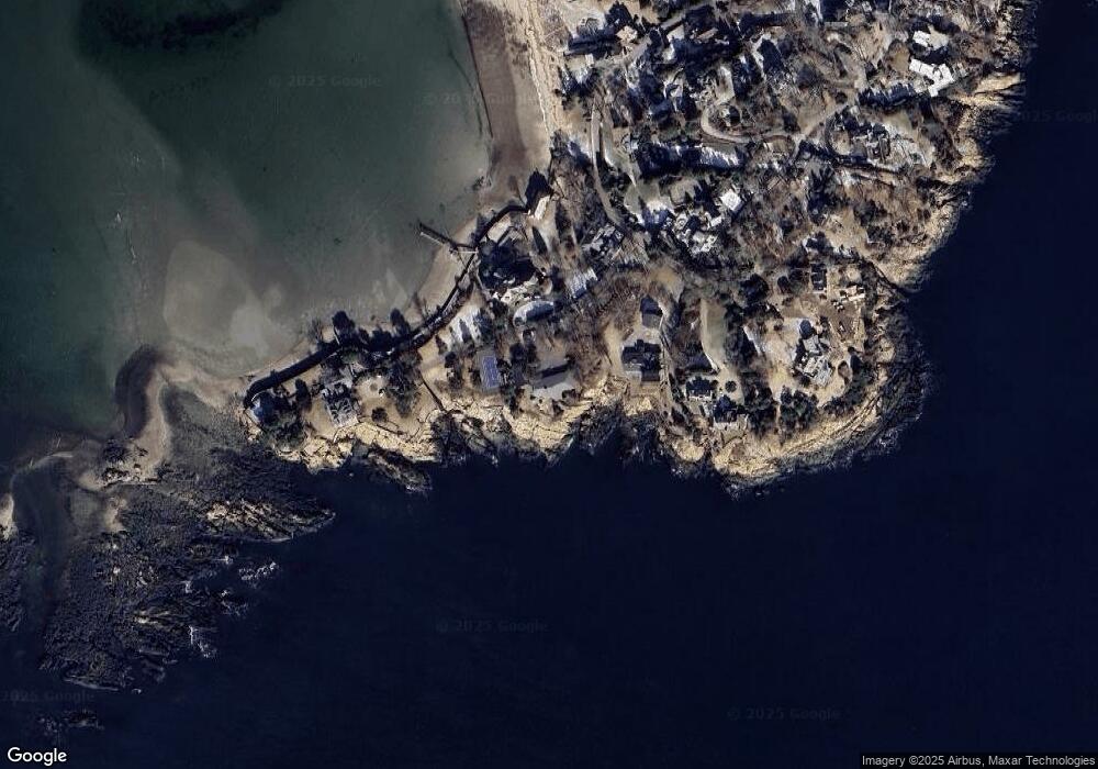
Map
Nearby Homes
- 5 Gales Point Rd
- 15 Smiths Point Rd
- 1 Gales Point Rd
- 3 Gales Point Rd
- 17 Smiths Point Rd
- 7 Gales Point Rd
- 12 Smiths Point Rd
- 19 Smiths Point Rd
- 14 Smiths Point Rd
- 21 Smiths Point Rd
- 13 Smiths Point Rd
- 10 Smiths Point Rd
- 16 Smiths Point Rd
- 25 Smiths Point Rd
- 29 Smiths Point Rd
- 27 Smiths Point Rd
- 7 Smiths Point Rd
- 33 Smiths Point Rd
- 31 Smiths Point Rd
- 6 Smiths Point Rd