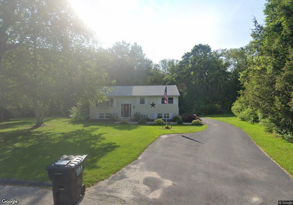
4 Garfield Cir Southampton, MA 01073
Estimated Value: $380,727 - $428,000
3
Beds
1
Bath
1,924
Sq Ft
$211/Sq Ft
Est. Value
About This Home
This home is located at 4 Garfield Cir, Southampton, MA 01073 and is currently estimated at $406,432, approximately $211 per square foot. 4 Garfield Cir is a home located in Hampshire County with nearby schools including William E Norris School, White Oak School, and Westfield Christian Academy.
Ownership History
Date
Name
Owned For
Owner Type
Purchase Details
Closed on
Feb 17, 2015
Sold by
Dubour Michael E and Collins Maureen E
Bought by
Dubour Michael E
Current Estimated Value
Home Financials for this Owner
Home Financials are based on the most recent Mortgage that was taken out on this home.
Original Mortgage
$170,000
Outstanding Balance
$126,457
Interest Rate
3%
Mortgage Type
Adjustable Rate Mortgage/ARM
Estimated Equity
$279,975
Create a Home Valuation Report for This Property
The Home Valuation Report is an in-depth analysis detailing your home's value as well as a comparison with similar homes in the area
Home Values in the Area
Average Home Value in this Area
Purchase History
| Date | Buyer | Sale Price | Title Company |
|---|---|---|---|
| Dubour Michael E | -- | -- |
Source: Public Records
Mortgage History
| Date | Status | Borrower | Loan Amount |
|---|---|---|---|
| Open | Dubour Michael E | $170,000 |
Source: Public Records
Tax History Compared to Growth
Tax History
| Year | Tax Paid | Tax Assessment Tax Assessment Total Assessment is a certain percentage of the fair market value that is determined by local assessors to be the total taxable value of land and additions on the property. | Land | Improvement |
|---|---|---|---|---|
| 2025 | $3,928 | $277,200 | $123,100 | $154,100 |
| 2024 | $3,852 | $270,300 | $123,100 | $147,200 |
| 2023 | $3,873 | $270,300 | $123,100 | $147,200 |
| 2022 | $3,795 | $251,800 | $121,400 | $130,400 |
| 2021 | $3,718 | $232,800 | $114,000 | $118,800 |
| 2020 | $3,713 | $234,700 | $114,000 | $120,700 |
| 2019 | $3,676 | $225,400 | $114,000 | $111,400 |
| 2018 | $3,446 | $206,100 | $102,700 | $103,400 |
| 2017 | $3,364 | $206,100 | $102,700 | $103,400 |
| 2015 | $3,144 | $200,100 | $95,900 | $104,200 |
Source: Public Records
Map
Nearby Homes
- Lot 5 Brickyard Rd
- 119 Brickyard Rd
- 369 College Hwy
- 117 Russellville Rd
- Lot 5 Gil Farm Rd
- Lot 6 Gil Farm Rd
- 216 College Hwy
- 45 Jaeger Dr
- 132 North Rd
- Lot 57 White Loaf Rd
- 336 Russellville Rd
- 100 Fomer Rd
- 150 Middle Rd
- 232 Russellville Rd
- 94 Pequot Rd (Rear)
- 64 Old Stage Rd
- 4 Fitch Farm Way
- 868 Southampton Rd Unit 18
- 36 County Rd
- 19 3rd Ave
- 6 Garfield Cir
- 5 Garfield Cir
- 0 Coolidge Dr
- 171 Brickyard Rd
- 1 Garfield Cir
- 169 Brickyard Rd
- 167 Brickyard Rd
- 5 Coolidge Dr
- 6 Buchanan Cir
- 165 Brickyard Rd
- 10 Coolidge Dr
- 8 Buchanan Cir
- 163 Brickyard Rd
- 14 Madison Ave
- 9 Coolidge Dr
- 178 Brickyard Rd
- 164 Brickyard Rd
- 16 Madison Ave
- 4 Buchanan Cir
- 9 Buchanan Cir