4 Hitching Post Ln Wilbraham, MA 01095
Estimated Value: $595,991 - $659,000
4
Beds
3
Baths
4,116
Sq Ft
$154/Sq Ft
Est. Value
About This Home
This home is located at 4 Hitching Post Ln, Wilbraham, MA 01095 and is currently estimated at $632,998, approximately $153 per square foot. 4 Hitching Post Ln is a home located in Hampden County with nearby schools including Minnechaug Regional High School, Springfield International Charter School, and Wilbraham & Monson Academy.
Ownership History
Date
Name
Owned For
Owner Type
Purchase Details
Closed on
May 26, 2006
Sold by
Steiger Ralph A and Steiger Jean J
Bought by
Weir Louis P and Weir Katrin T
Current Estimated Value
Home Financials for this Owner
Home Financials are based on the most recent Mortgage that was taken out on this home.
Original Mortgage
$140,000
Outstanding Balance
$82,124
Interest Rate
6.53%
Mortgage Type
Purchase Money Mortgage
Estimated Equity
$550,874
Create a Home Valuation Report for This Property
The Home Valuation Report is an in-depth analysis detailing your home's value as well as a comparison with similar homes in the area
Home Values in the Area
Average Home Value in this Area
Purchase History
| Date | Buyer | Sale Price | Title Company |
|---|---|---|---|
| Weir Louis P | $390,000 | -- |
Source: Public Records
Mortgage History
| Date | Status | Borrower | Loan Amount |
|---|---|---|---|
| Open | Weir Louis P | $140,000 |
Source: Public Records
Tax History Compared to Growth
Tax History
| Year | Tax Paid | Tax Assessment Tax Assessment Total Assessment is a certain percentage of the fair market value that is determined by local assessors to be the total taxable value of land and additions on the property. | Land | Improvement |
|---|---|---|---|---|
| 2025 | $8,768 | $490,400 | $116,200 | $374,200 |
| 2024 | $8,762 | $473,600 | $116,200 | $357,400 |
| 2023 | $8,112 | $434,500 | $116,200 | $318,300 |
| 2022 | $8,112 | $395,900 | $116,200 | $279,700 |
| 2021 | $7,891 | $343,700 | $121,600 | $222,100 |
| 2020 | $7,692 | $343,700 | $121,600 | $222,100 |
| 2019 | $7,495 | $343,800 | $121,600 | $222,200 |
| 2018 | $7,507 | $331,600 | $121,600 | $210,000 |
| 2017 | $7,295 | $331,600 | $121,600 | $210,000 |
| 2016 | $7,035 | $325,700 | $135,000 | $190,700 |
| 2015 | $6,801 | $325,700 | $135,000 | $190,700 |
Source: Public Records
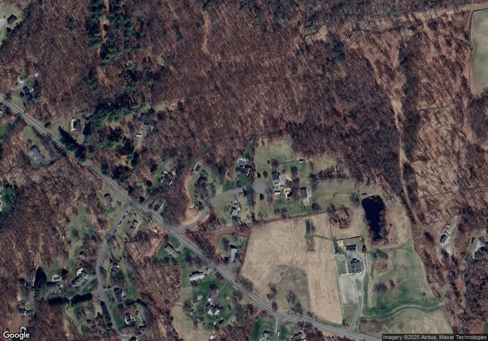
Map
Nearby Homes
- 68 Monson Rd
- 6 Hilltop Park
- 12 Highridge Rd
- 751 Ridge Rd
- 17 Peak Rd
- 407 Monson Rd
- 474 Mountain Rd
- 2 Bayberry Dr Unit 51
- 8 Patriot Ridge Ln
- 1028 Tinkham Rd
- 6 Katie St
- 474-480 Mountain Rd
- 28 Decorie Dr
- 230V Burleigh Rd
- 760 Stony Hill Rd
- 767 Stony Hill Rd
- 763 Stony Hill Rd
- 14 Brookdale Dr
- 5 Edgewood Rd
- 733 Monson Rd
- 2 Hitching Post Ln
- 1 Hitching Post Ln
- 100 Monson Rd
- 114 Monson Rd
- 108 Monson Rd
- 111 Monson Rd
- Lot 10 Monson Rd
- 84 Monson Rd
- 129 Monson Rd
- 2 Meeting House Ln
- 182 Monson Rd
- 75 Monson Rd
- 145 Monson Rd
- 188 Monson Rd
- 4 Meeting House Ln
- 68 Monson Rd
- 7 Bolles Rd
- Parcel C/D Washington Rd
- Parcel D Washington Rd
- Parcel C Washington Rd