4 Homestead Ln Dover, NH 03820
Dover Point NeighborhoodEstimated Value: $570,000 - $787,000
5
Beds
2
Baths
1,808
Sq Ft
$361/Sq Ft
Est. Value
About This Home
This home is located at 4 Homestead Ln, Dover, NH 03820 and is currently estimated at $653,261, approximately $361 per square foot. 4 Homestead Ln is a home located in Strafford County with nearby schools including Garrison School, Dover Middle School, and Dover Senior High School.
Ownership History
Date
Name
Owned For
Owner Type
Purchase Details
Closed on
Aug 30, 2000
Sold by
Quartararo Peter L
Bought by
Duffy Kevin J and Duffy Anne
Current Estimated Value
Home Financials for this Owner
Home Financials are based on the most recent Mortgage that was taken out on this home.
Original Mortgage
$143,200
Interest Rate
8.16%
Purchase Details
Closed on
Jul 30, 1996
Sold by
Campbell Steven I and Campbell Cheryl E
Bought by
Quartararo Peter L and Quartararo Diana L
Home Financials for this Owner
Home Financials are based on the most recent Mortgage that was taken out on this home.
Original Mortgage
$123,500
Interest Rate
8.37%
Create a Home Valuation Report for This Property
The Home Valuation Report is an in-depth analysis detailing your home's value as well as a comparison with similar homes in the area
Home Values in the Area
Average Home Value in this Area
Purchase History
| Date | Buyer | Sale Price | Title Company |
|---|---|---|---|
| Duffy Kevin J | $179,000 | -- | |
| Quartararo Peter L | $130,000 | -- |
Source: Public Records
Mortgage History
| Date | Status | Borrower | Loan Amount |
|---|---|---|---|
| Open | Quartararo Peter L | $215,031 | |
| Closed | Quartararo Peter L | $143,200 | |
| Previous Owner | Quartararo Peter L | $123,500 |
Source: Public Records
Tax History
| Year | Tax Paid | Tax Assessment Tax Assessment Total Assessment is a certain percentage of the fair market value that is determined by local assessors to be the total taxable value of land and additions on the property. | Land | Improvement |
|---|---|---|---|---|
| 2024 | $9,312 | $512,500 | $193,600 | $318,900 |
| 2023 | $8,163 | $436,500 | $156,500 | $280,000 |
| 2022 | $8,007 | $403,600 | $148,300 | $255,300 |
| 2021 | $7,671 | $353,500 | $131,800 | $221,700 |
| 2020 | $7,537 | $303,300 | $119,400 | $183,900 |
| 2019 | $7,446 | $295,600 | $115,300 | $180,300 |
| 2018 | $7,287 | $292,400 | $111,200 | $181,200 |
| 2017 | $6,894 | $266,500 | $90,600 | $175,900 |
| 2016 | $6,757 | $257,000 | $89,100 | $167,900 |
| 2015 | $6,394 | $240,300 | $76,400 | $163,900 |
| 2014 | $6,362 | $244,600 | $80,700 | $163,900 |
| 2011 | $5,783 | $230,200 | $72,200 | $158,000 |
Source: Public Records
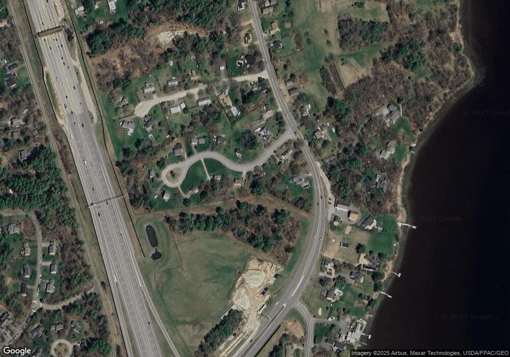
Map
Nearby Homes
- Slip B18 Little Bay
- 18 Deborah Ln
- 41 Clearwater Dr
- 0 Cote Dr Unit 55B
- 348 Dover Point Rd
- 354 Dover Point Rd
- 18 Little Bay Dr
- 708 River Rd Unit 2
- 708 River Rd Unit 3
- 25 Fosters Dr
- 71 Shipwright Way
- 18 Governor Hill Rd
- 1708 State Rd
- 10 Shipwright Way
- 69 Polly Ann Trailer Park
- 10 Pasture Hill Dr
- Lot 2 Cedar Tbd
- 0 Franks Fort Island Unit 1650383
- 11 Willey Creek Rd
- 19 Lenox Dr Unit A
- 6 Homestead Ln
- 2 Homestead Ln
- 23 Clearwater Dr
- 25 Clearwater Dr
- 29 Clearwater Dr
- 7 Eagles Bay Dr
- 11 Eagles Bay Dr
- 15 Eagles Bay Dr
- 14 Eagles Bay Dr
- 12 Eagles Bay Dr
- 10 Eagles Bay Dr
- 6 Eagles Bay Dr
- 2 Eagles Bay Dr
- 31 Clearwater Dr
- 16 Blue Heron Dr
- 14 Blue Heron Dr
- 39 Clearwater Dr
- 12 Blue Heron Dr
- 7 Blue Heron Dr
- 10 Blue Heron Dr
Your Personal Tour Guide
Ask me questions while you tour the home.