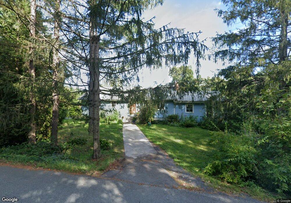
4 Hulst Rd Amherst, MA 01002
Estimated Value: $387,000 - $735,000
4
Beds
3
Baths
1,664
Sq Ft
$338/Sq Ft
Est. Value
About This Home
This home is located at 4 Hulst Rd, Amherst, MA 01002 and is currently estimated at $563,081, approximately $338 per square foot. 4 Hulst Rd is a home located in Hampshire County with nearby schools including Crocker Farm Elementary School, Amherst Regional Middle School, and Amherst Regional High School.
Create a Home Valuation Report for This Property
The Home Valuation Report is an in-depth analysis detailing your home's value as well as a comparison with similar homes in the area
Home Values in the Area
Average Home Value in this Area
Tax History
| Year | Tax Paid | Tax Assessment Tax Assessment Total Assessment is a certain percentage of the fair market value that is determined by local assessors to be the total taxable value of land and additions on the property. | Land | Improvement |
|---|---|---|---|---|
| 2025 | $86 | $476,600 | $192,700 | $283,900 |
| 2024 | $8,109 | $438,100 | $181,800 | $256,300 |
| 2023 | $7,771 | $386,600 | $165,300 | $221,300 |
| 2022 | $7,610 | $357,800 | $150,300 | $207,500 |
| 2021 | $7,565 | $346,700 | $139,200 | $207,500 |
| 2020 | $7,392 | $346,700 | $139,200 | $207,500 |
| 2019 | $7,157 | $328,300 | $139,200 | $189,100 |
| 2018 | $6,940 | $328,300 | $139,200 | $189,100 |
| 2017 | $6,927 | $317,300 | $132,500 | $184,800 |
| 2016 | $6,733 | $317,300 | $132,500 | $184,800 |
| 2015 | $6,517 | $317,300 | $132,500 | $184,800 |
Source: Public Records
Map
Nearby Homes
- 1730 S East St
- 664 Bay Rd
- 365 Middle St
- 26 Plaza Ave
- 23 Alyssum Dr
- Lots A-C Federal St
- 100 Larkspur Dr
- 130 Linden Ridge Rd
- Lot 1 Amherst Rd
- 137 Old Amherst Rd
- 89 Potwine Ln
- 13 Vista Terrace
- 1 Autumn Ln
- 53 Pine Grove Unit 53
- 67 Pine Grove Unit 67
- 19 Baldwin Ln
- 141 Tracy Cir
- 170 E Hadley Rd Unit 87
- 170 E Hadley Rd Unit 46
- 14 Granby Heights
Your Personal Tour Guide
Ask me questions while you tour the home.