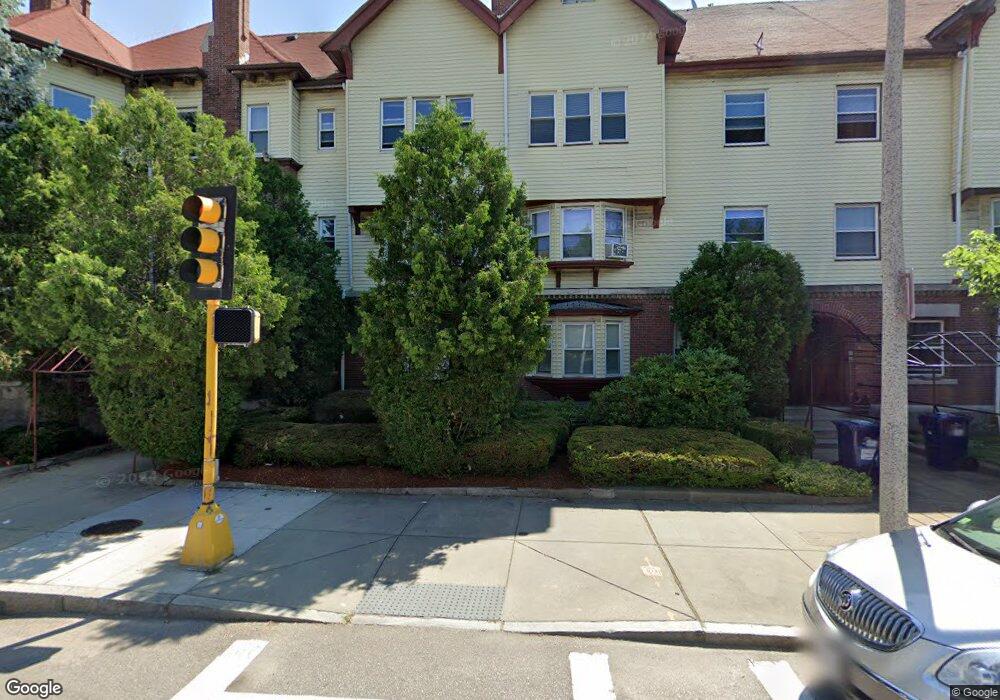
4 Humboldt Ave Unit 2 Roxbury, MA 02119
Washington Park NeighborhoodEstimated Value: $467,339 - $554,000
2
Beds
1
Bath
1,600
Sq Ft
$319/Sq Ft
Est. Value
About This Home
This home is located at 4 Humboldt Ave Unit 2, Roxbury, MA 02119 and is currently estimated at $510,085, approximately $318 per square foot. 4 Humboldt Ave Unit 2 is a home located in Suffolk County with nearby schools including Bridge Boston Charter School and City on a Hill Charter Public School.
Ownership History
Date
Name
Owned For
Owner Type
Purchase Details
Closed on
Apr 24, 2006
Sold by
Smith Benerly J
Bought by
Boswell Erin
Current Estimated Value
Home Financials for this Owner
Home Financials are based on the most recent Mortgage that was taken out on this home.
Original Mortgage
$216,000
Outstanding Balance
$124,199
Interest Rate
6.37%
Mortgage Type
Purchase Money Mortgage
Estimated Equity
$385,886
Create a Home Valuation Report for This Property
The Home Valuation Report is an in-depth analysis detailing your home's value as well as a comparison with similar homes in the area
Home Values in the Area
Average Home Value in this Area
Purchase History
| Date | Buyer | Sale Price | Title Company |
|---|---|---|---|
| Boswell Erin | $270,000 | -- |
Source: Public Records
Mortgage History
| Date | Status | Borrower | Loan Amount |
|---|---|---|---|
| Open | Boswell Erin | $216,000 |
Source: Public Records
Tax History Compared to Growth
Tax History
| Year | Tax Paid | Tax Assessment Tax Assessment Total Assessment is a certain percentage of the fair market value that is determined by local assessors to be the total taxable value of land and additions on the property. | Land | Improvement |
|---|---|---|---|---|
| 2025 | $4,547 | $392,700 | $0 | $392,700 |
| 2024 | $3,972 | $364,400 | $0 | $364,400 |
| 2023 | $3,762 | $350,300 | $0 | $350,300 |
| 2022 | $3,630 | $333,600 | $0 | $333,600 |
| 2021 | $3,490 | $327,100 | $0 | $327,100 |
| 2020 | $2,753 | $260,700 | $0 | $260,700 |
| 2019 | $2,498 | $237,000 | $0 | $237,000 |
| 2018 | $2,256 | $215,300 | $0 | $215,300 |
| 2017 | $2,131 | $201,200 | $0 | $201,200 |
| 2016 | $2,069 | $188,100 | $0 | $188,100 |
| 2015 | $1,993 | $164,600 | $0 | $164,600 |
| 2014 | $1,954 | $155,300 | $0 | $155,300 |
Source: Public Records
Map
Nearby Homes
- 94 Walnut Ave
- 10 Rockland St Unit 4
- 90 Munroe St
- 16 Mayfair St
- 151 Townsend St
- 99 Harrishof St
- 30 Copeland St Unit 1
- 7 Langford Park Unit 3
- 37 Regent St Unit 2
- 59 Perrin St
- 59 Perrin St Unit 1
- 9 W Cedar St Unit 1
- 8 Brinton St Unit 2
- 22 Rockville Park
- 20 Rockville Park
- 33 Copeland Park Unit C
- 62 Clifford St Unit A
- 2856 Washington St
- 31 Alaska St
- 22 Alaska St
- 4 Humboldt Ave Unit 3
- 4 Humboldt Ave Unit 1
- 2 Humboldt Ave
- 2 Humboldt Ave Unit 1
- 6 Humboldt Ave
- 6 Humboldt Ave Unit 2
- 6 Humboldt Ave Unit 1
- 8 Humboldt Ave Unit 3
- 8 Humboldt Ave Unit 2
- 8 Humboldt Ave Unit 1
- 10 Humboldt Ave
- 17 Laurel St
- 21 Laurel St
- 13 Laurel St
- 12 Humboldt Ave
- 12 Humboldt Ave Unit 3
- 12 Humboldt Ave Unit 2
- 12 Humboldt Ave Unit 1
- 12 Humboldt Ave
- 12 Humboldt Ave Unit 3