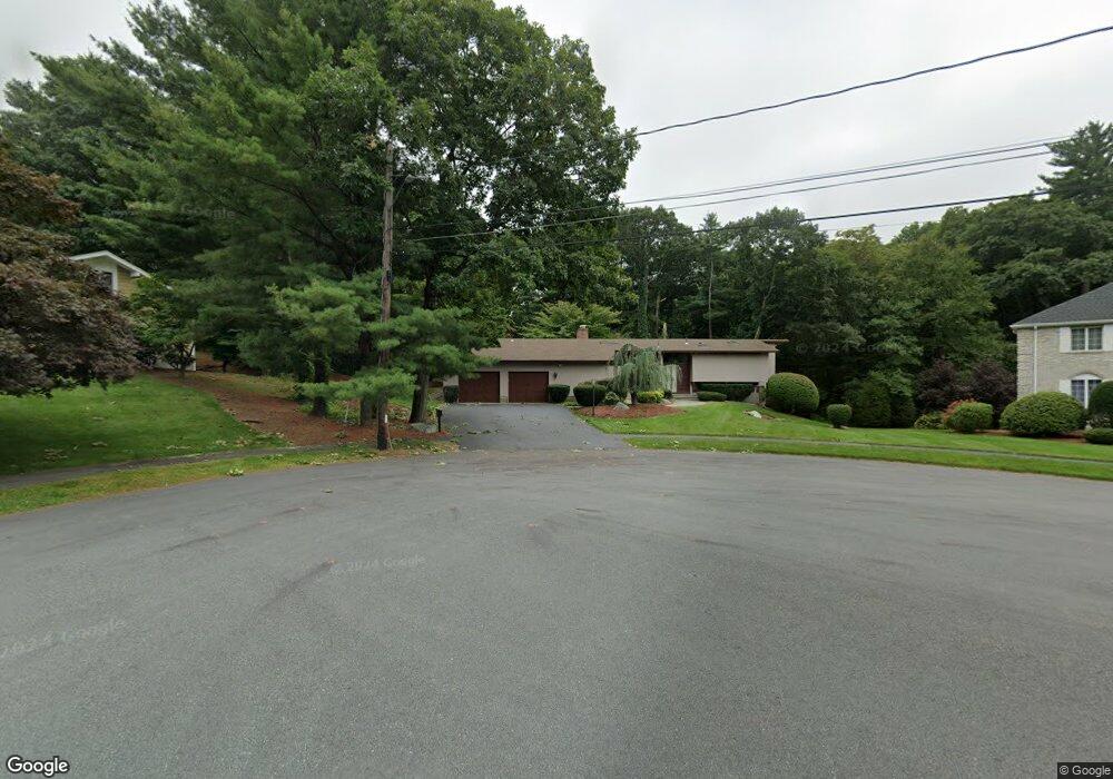
4 Ivy Ln Waltham, MA 02452
Piety Corner NeighborhoodEstimated Value: $1,540,607 - $1,682,000
4
Beds
3
Baths
3,000
Sq Ft
$533/Sq Ft
Est. Value
About This Home
This home is located at 4 Ivy Ln, Waltham, MA 02452 and is currently estimated at $1,600,402, approximately $533 per square foot. 4 Ivy Ln is a home located in Middlesex County with nearby schools including Northeast Elementary School, John F Kennedy Middle School, and Waltham Sr High School.
Ownership History
Date
Name
Owned For
Owner Type
Purchase Details
Closed on
May 20, 2022
Sold by
4 Ivy Lane Nt and Shah
Bought by
Shah
Current Estimated Value
Purchase Details
Closed on
Jan 24, 2007
Sold by
Shah Manish and Shah Shilpa
Bought by
4 Ivy Lane Nt
Purchase Details
Closed on
Oct 1, 1998
Sold by
Lavallee Andrew W and Lavalle Barbara A
Bought by
Shah Manish and Shah Shilpa
Home Financials for this Owner
Home Financials are based on the most recent Mortgage that was taken out on this home.
Original Mortgage
$360,000
Interest Rate
6.89%
Mortgage Type
Purchase Money Mortgage
Purchase Details
Closed on
Jan 26, 1990
Sold by
Wilkes Derek A
Bought by
Lavallee Andrew W
Create a Home Valuation Report for This Property
The Home Valuation Report is an in-depth analysis detailing your home's value as well as a comparison with similar homes in the area
Home Values in the Area
Average Home Value in this Area
Purchase History
| Date | Buyer | Sale Price | Title Company |
|---|---|---|---|
| Shah | -- | None Available | |
| M & Shilpa Shah Ft | -- | None Available | |
| 4 Ivy Lane Nt | -- | -- | |
| 4 Ivy Lane Nt | -- | -- | |
| Shah Manish | $450,000 | -- | |
| Lavallee Andrew W | $475,000 | -- |
Source: Public Records
Mortgage History
| Date | Status | Borrower | Loan Amount |
|---|---|---|---|
| Previous Owner | Lavallee Andrew W | $59,000 | |
| Previous Owner | Lavallee Andrew W | $360,000 | |
| Previous Owner | Lavallee Andrew W | $364,500 |
Source: Public Records
Tax History Compared to Growth
Tax History
| Year | Tax Paid | Tax Assessment Tax Assessment Total Assessment is a certain percentage of the fair market value that is determined by local assessors to be the total taxable value of land and additions on the property. | Land | Improvement |
|---|---|---|---|---|
| 2025 | $12,407 | $1,263,400 | $580,700 | $682,700 |
| 2024 | $11,149 | $1,156,500 | $553,700 | $602,800 |
| 2023 | $10,857 | $1,052,000 | $503,700 | $548,300 |
| 2022 | $11,075 | $994,200 | $463,700 | $530,500 |
| 2021 | $10,761 | $950,600 | $443,700 | $506,900 |
| 2020 | $10,921 | $913,900 | $413,700 | $500,200 |
| 2019 | $10,139 | $800,900 | $408,700 | $392,200 |
| 2018 | $9,331 | $740,000 | $378,700 | $361,300 |
| 2017 | $8,855 | $705,000 | $343,700 | $361,300 |
| 2016 | $8,384 | $685,000 | $323,700 | $361,300 |
| 2015 | $8,797 | $670,000 | $318,700 | $351,300 |
Source: Public Records
Map
Nearby Homes
- 70 Rosewood Dr
- 34 Cedar Hill Ln
- 266 Linden St
- 511 Lexington St
- 214 Church St
- 116 Raffaele Dr
- 49 Lincoln St
- 326 Bacon St
- 28 College Farm Rd Unit 2
- 59 Farnum Rd
- 70 School St
- 44 Sachem St
- 16 Winter St Unit 26C
- 160 School St Unit 3-1
- 14 Claremont St
- 55 Circle Dr
- 14 Piedmont Ave
- 220 Grove St Unit 1
- 78 Barbara Rd Unit 1
- 45 Chase Rd