4 Jacobs Ln Thornton, NH 03285
Estimated Value: $582,000 - $726,000
3
Beds
3
Baths
2,651
Sq Ft
$239/Sq Ft
Est. Value
About This Home
This home is located at 4 Jacobs Ln, Thornton, NH 03285 and is currently estimated at $632,824, approximately $238 per square foot. 4 Jacobs Ln is a home located in Grafton County with nearby schools including Thornton Central School and Plymouth Regional High School.
Ownership History
Date
Name
Owned For
Owner Type
Purchase Details
Closed on
Feb 1, 2006
Sold by
Ingram Herbert G and Ingram Judith A
Bought by
Nocito Patricia R
Current Estimated Value
Home Financials for this Owner
Home Financials are based on the most recent Mortgage that was taken out on this home.
Original Mortgage
$180,000
Interest Rate
6.31%
Mortgage Type
Purchase Money Mortgage
Create a Home Valuation Report for This Property
The Home Valuation Report is an in-depth analysis detailing your home's value as well as a comparison with similar homes in the area
Home Values in the Area
Average Home Value in this Area
Purchase History
| Date | Buyer | Sale Price | Title Company |
|---|---|---|---|
| Nocito Patricia R | $356,000 | -- |
Source: Public Records
Mortgage History
| Date | Status | Borrower | Loan Amount |
|---|---|---|---|
| Open | Nocito Patricia R | $164,000 | |
| Closed | Nocito Patricia R | $180,000 |
Source: Public Records
Tax History
| Year | Tax Paid | Tax Assessment Tax Assessment Total Assessment is a certain percentage of the fair market value that is determined by local assessors to be the total taxable value of land and additions on the property. | Land | Improvement |
|---|---|---|---|---|
| 2025 | $6,665 | $567,700 | $161,300 | $406,400 |
| 2024 | $6,455 | $567,700 | $161,300 | $406,400 |
| 2023 | $6,130 | $295,300 | $86,000 | $209,300 |
| 2022 | $5,817 | $290,700 | $86,000 | $204,700 |
| 2021 | $6,042 | $290,900 | $86,000 | $204,900 |
| 2020 | $5,850 | $290,900 | $86,000 | $204,900 |
| 2019 | $894 | $290,900 | $86,000 | $204,900 |
| 2018 | $5,210 | $254,400 | $63,900 | $190,500 |
| 2017 | $4,974 | $254,400 | $63,900 | $190,500 |
| 2016 | $869 | $254,400 | $63,900 | $190,500 |
| 2015 | $4,859 | $254,400 | $63,900 | $190,500 |
| 2014 | $4,780 | $254,400 | $63,900 | $190,500 |
| 2013 | $4,618 | $251,800 | $47,200 | $204,600 |
Source: Public Records
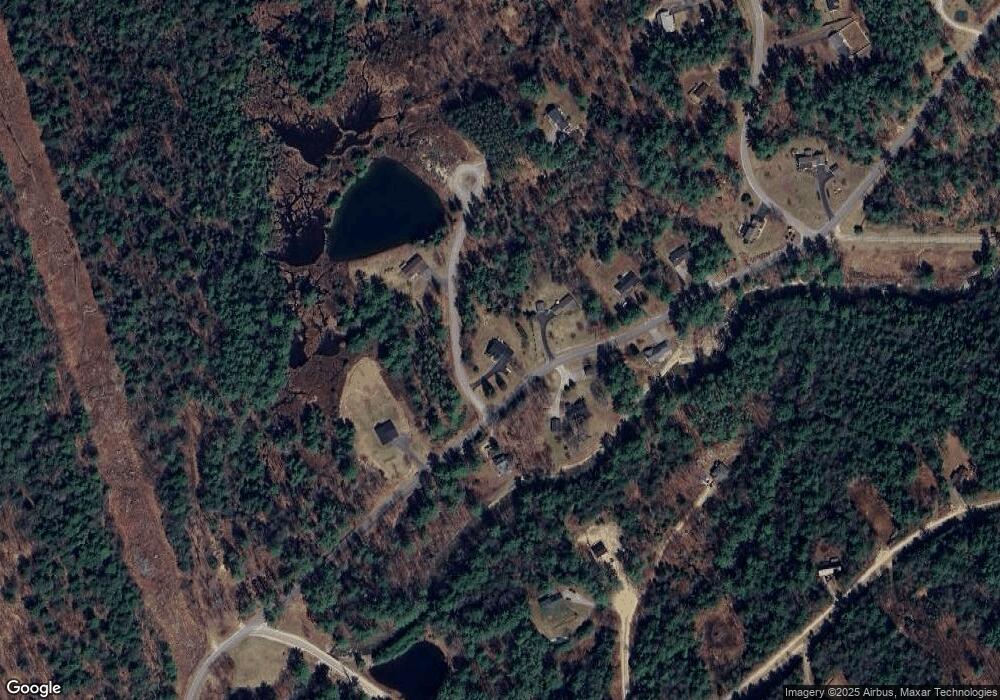
Map
Nearby Homes
- 00 Covered Bridge Rd Unit 51
- Lot 2 Covered Bridge Rd
- 23 Falls Rd Unit 9
- 23 Falls Rd Unit 1
- 00 Route 175 Unit 1
- 53 Sunrise Hill Rd
- 96 Star Ridge Rd Unit 40
- 30 Tuxette Rd
- 39 Melinas Way
- 42 Melinas Way
- 0 Melina's Way Unit 12
- 0 Melina's Way Unit 18
- 3039 US Route 3
- 3481 Us Route 3
- 3447 US Route 3
- 65 Mountain River East Rd Unit 58
- 53 Diamond Ledge Rd
- 6 Tame
- 110 Tamarack Rd
- 253 Upper Mad River Rd
- 28 Jacobs Ln Unit 9
- 287 Mill Brook Rd
- 286 Mill Brook Rd
- 274 Mill Brook Rd
- 274 Millbrook Rd
- 32 Jacobs Ln Unit 35
- 17 Jacobs Ln Unit 4
- 17 Jacobs Ln
- 297 Mill Brook Rd
- 300 Mill Brook Rd
- 267 Mill Brook Rd
- 305 Mill Brook Rd
- 30 Jacobs Ln
- 19 Brookwood Cir
- 18 Brookwood Cir
- 20 Brookwood Cir
- 9 Joshuas Ln
- 23 Joshuas Ln
- Lot 1 Covered Bridge Rd
- 10 Covered Bridge Rd
Your Personal Tour Guide
Ask me questions while you tour the home.