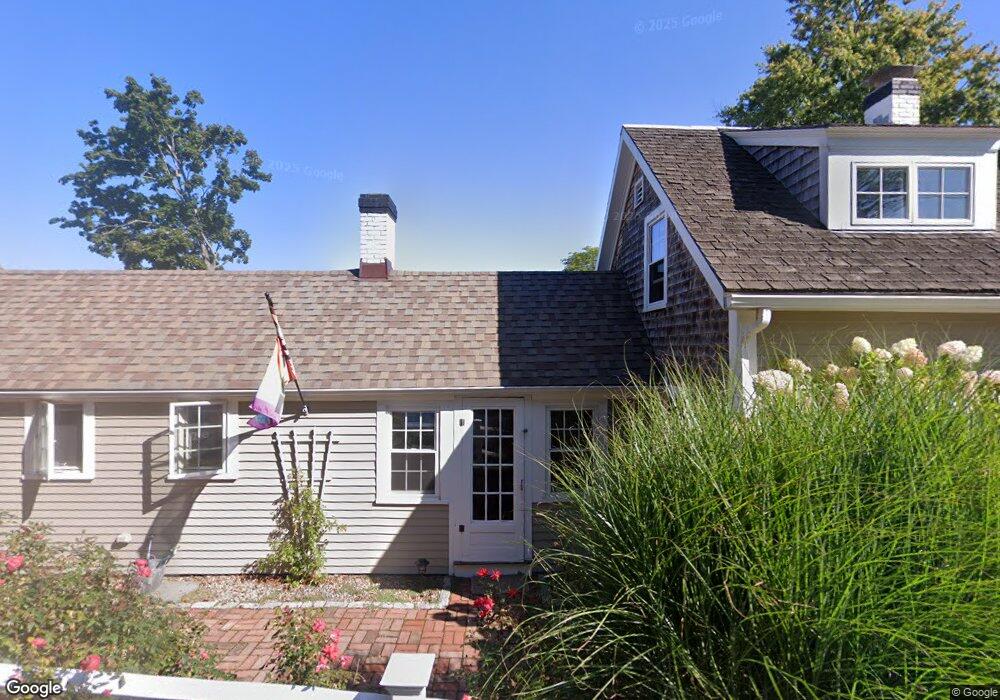
4 Jericho Ln Scituate, MA 02066
Estimated Value: $866,000 - $1,171,000
3
Beds
2
Baths
1,164
Sq Ft
$932/Sq Ft
Est. Value
About This Home
This home is located at 4 Jericho Ln, Scituate, MA 02066 and is currently estimated at $1,084,861, approximately $932 per square foot. 4 Jericho Ln is a home located in Plymouth County with nearby schools including Jenkins Elementary School, Lester J. Gates Middle School, and Scituate High School.
Ownership History
Date
Name
Owned For
Owner Type
Purchase Details
Closed on
Oct 4, 2013
Sold by
Wolfe Christine J
Bought by
Herlihy Jamie M and Spradlin Alicia C
Current Estimated Value
Home Financials for this Owner
Home Financials are based on the most recent Mortgage that was taken out on this home.
Original Mortgage
$287,200
Outstanding Balance
$215,442
Interest Rate
4.61%
Mortgage Type
New Conventional
Estimated Equity
$869,419
Purchase Details
Closed on
Aug 1, 2003
Sold by
Saunders John A and Saunders Paula B
Bought by
Wolfe Christine J
Create a Home Valuation Report for This Property
The Home Valuation Report is an in-depth analysis detailing your home's value as well as a comparison with similar homes in the area
Home Values in the Area
Average Home Value in this Area
Purchase History
| Date | Buyer | Sale Price | Title Company |
|---|---|---|---|
| Herlihy Jamie M | $359,000 | -- | |
| Herlihy Jamie M | $359,000 | -- | |
| Wolfe Christine J | $499,000 | -- |
Source: Public Records
Mortgage History
| Date | Status | Borrower | Loan Amount |
|---|---|---|---|
| Open | Herlihy Jamie M | $287,200 | |
| Closed | Herlihy Jamie M | $287,200 | |
| Previous Owner | Wolfe Christine J | $50,000 |
Source: Public Records
Tax History
| Year | Tax Paid | Tax Assessment Tax Assessment Total Assessment is a certain percentage of the fair market value that is determined by local assessors to be the total taxable value of land and additions on the property. | Land | Improvement |
|---|---|---|---|---|
| 2025 | $10,605 | $1,061,600 | $573,900 | $487,700 |
| 2024 | $10,359 | $999,900 | $521,700 | $478,200 |
| 2023 | $9,303 | $871,000 | $440,400 | $430,600 |
| 2022 | $9,303 | $737,200 | $375,800 | $361,400 |
| 2021 | $8,850 | $663,900 | $357,900 | $306,000 |
| 2020 | $8,444 | $625,500 | $344,100 | $281,400 |
| 2019 | $7,928 | $577,000 | $311,400 | $265,600 |
| 2018 | $7,643 | $547,900 | $314,800 | $233,100 |
| 2017 | $5,791 | $411,000 | $304,000 | $107,000 |
| 2016 | $5,351 | $378,400 | $271,400 | $107,000 |
| 2015 | $4,814 | $367,500 | $260,500 | $107,000 |
Source: Public Records
Map
Nearby Homes
- 11 Porter Rd
- 7 Porter Rd
- 5 Jericho Ln
- 1 Jericho Ln
- 8 Jericho Ln
- 11 Jericho Rd
- 8 Porter Rd
- 12 Porter Rd
- 8 Porter Rd (Winter Rental) Unit 1
- 30 Beaver Dam Rd Unit 2
- 30 Beaver Dam Rd Unit 32
- 30 Beaver Dam Rd Unit 2
- 17 Porter Rd
- 7 Jericho Rd
- 7 Jericho Rd
- 16 Porter Rd
- 28 Beaver Dam Rd
- 5 Jericho Rd
- 21 Jericho Rd
- 34 Beaver Dam Rd
Your Personal Tour Guide
Ask me questions while you tour the home.