4 Kendall Way Brookline, NH 03033
Estimated Value: $753,892 - $857,000
4
Beds
3
Baths
3,105
Sq Ft
$255/Sq Ft
Est. Value
About This Home
This home is located at 4 Kendall Way, Brookline, NH 03033 and is currently estimated at $792,223, approximately $255 per square foot. 4 Kendall Way is a home with nearby schools including Richard Maghakian Memorial School, Captain Samuel Douglass Academy, and Hollis-Brookline Middle School.
Create a Home Valuation Report for This Property
The Home Valuation Report is an in-depth analysis detailing your home's value as well as a comparison with similar homes in the area
Home Values in the Area
Average Home Value in this Area
Tax History Compared to Growth
Tax History
| Year | Tax Paid | Tax Assessment Tax Assessment Total Assessment is a certain percentage of the fair market value that is determined by local assessors to be the total taxable value of land and additions on the property. | Land | Improvement |
|---|---|---|---|---|
| 2024 | $15,612 | $690,500 | $221,200 | $469,300 |
| 2023 | $14,349 | $690,500 | $221,200 | $469,300 |
| 2022 | $12,325 | $414,700 | $133,100 | $281,600 |
| 2021 | $11,852 | $414,700 | $133,100 | $281,600 |
| 2020 | $11,529 | $414,700 | $133,100 | $281,600 |
| 2019 | $12,387 | $414,700 | $133,100 | $281,600 |
| 2018 | $12,259 | $414,700 | $133,100 | $281,600 |
| 2017 | $11,549 | $350,600 | $107,200 | $243,400 |
| 2016 | $11,438 | $351,300 | $107,900 | $243,400 |
| 2015 | $10,908 | $351,300 | $107,900 | $243,400 |
| 2014 | $11,540 | $351,300 | $107,900 | $243,400 |
| 2013 | $11,112 | $351,300 | $107,900 | $243,400 |
Source: Public Records
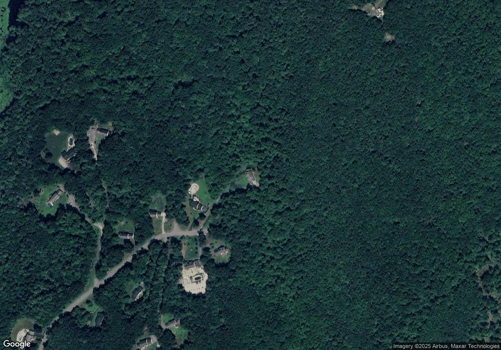
Map
Nearby Homes
- 9 Marjorie Dr
- 59 Cleveland Hill Rd
- 2 Corey Hill Rd
- 12 Old Milford Rd
- 6 Laurelcrest Dr
- 42 Pepperell Rd
- 22 Hobart Hill Rd
- 47 Pepperell Rd
- 18 Sawtelle Rd
- 55 Oak Hill Rd
- 25 Rocky Pond Rd
- 6 Flint Meadow Dr
- 5 Carons Way
- 15 N End Rd
- 6 High Oaks Path
- 52 W Hollis Rd
- 0 Brookline St
- 28 N Mason Rd
- 26 Ben Farnsworth Rd
- 84 Irene Dr