4 Kings Rd York, ME 03909
York NeighborhoodEstimated Value: $1,203,800 - $1,461,000
3
Beds
3
Baths
2,932
Sq Ft
$460/Sq Ft
Est. Value
About This Home
This home is located at 4 Kings Rd, York, ME 03909 and is currently estimated at $1,347,933, approximately $459 per square foot. 4 Kings Rd is a home located in York County with nearby schools including Village Elementary School, Coastal Ridge Elementary School, and York Middle School.
Ownership History
Date
Name
Owned For
Owner Type
Purchase Details
Closed on
Jun 25, 2020
Sold by
Bass Catherine H
Bought by
Bass Cathy H
Current Estimated Value
Home Financials for this Owner
Home Financials are based on the most recent Mortgage that was taken out on this home.
Original Mortgage
$1,140,000
Outstanding Balance
$1,003,427
Interest Rate
2.95%
Mortgage Type
FHA
Estimated Equity
$344,506
Create a Home Valuation Report for This Property
The Home Valuation Report is an in-depth analysis detailing your home's value as well as a comparison with similar homes in the area
Home Values in the Area
Average Home Value in this Area
Purchase History
| Date | Buyer | Sale Price | Title Company |
|---|---|---|---|
| Bass Cathy H | -- | None Available | |
| Bass Cathy H | -- | None Available | |
| Bass Cathy H | -- | None Available |
Source: Public Records
Mortgage History
| Date | Status | Borrower | Loan Amount |
|---|---|---|---|
| Open | Bass Cathy H | $1,140,000 | |
| Closed | Bass Cathy H | $1,140,000 |
Source: Public Records
Tax History Compared to Growth
Tax History
| Year | Tax Paid | Tax Assessment Tax Assessment Total Assessment is a certain percentage of the fair market value that is determined by local assessors to be the total taxable value of land and additions on the property. | Land | Improvement |
|---|---|---|---|---|
| 2024 | $8,512 | $1,013,300 | $476,400 | $536,900 |
| 2023 | $8,360 | $989,400 | $476,400 | $513,000 |
| 2022 | $8,240 | $963,700 | $451,400 | $512,300 |
| 2021 | $8,301 | $834,300 | $405,000 | $429,300 |
| 2020 | $7,175 | $646,400 | $303,200 | $343,200 |
| 2019 | $7,172 | $643,200 | $303,200 | $340,000 |
| 2018 | $3,517 | $645,000 | $303,200 | $341,800 |
| 2017 | $6,826 | $623,400 | $294,500 | $328,900 |
| 2016 | $6,951 | $623,400 | $294,500 | $328,900 |
| 2015 | $6,717 | $610,600 | $294,500 | $316,100 |
| 2014 | $6,618 | $618,500 | $294,500 | $324,000 |
| 2013 | $6,448 | $618,200 | $294,500 | $323,700 |
Source: Public Records
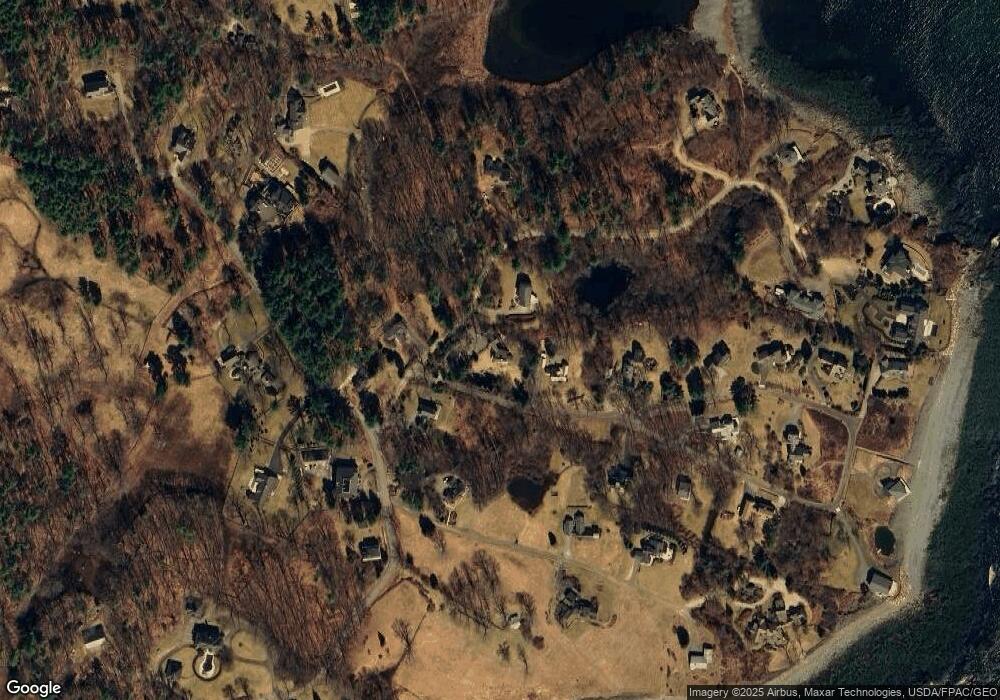
Map
Nearby Homes
- 25 Brave Boat Harbor Rd
- 4 Ice House Point
- 2 Bristol Ln
- 301 Route 103
- 23 Harmon Park Rd
- 419 & 425 York St
- 425 York St
- 3 Sentry Hill Rd
- 21 Starboard Ln
- 50 Seabury Rd
- 60 Barrell Ln Unit 3
- 60 Barrell Ln Unit 1
- 8 Old Seabury Rd
- 12 Norwood Farms Rd Unit 1
- 357 Southside Rd
- 589 York St Unit 11
- 8 Wavecrest Dr
- 294 York St Unit 1
- 294 York St Unit 2
- 281 York St
- 6 Kings Rd
- 1 Lock Ln
- 4 Lock Ln
- 6 Lock Ln
- 66 Godfrey Cove Rd
- 12 Kings Rd
- 54 Godfrey Cove Rd
- 12 Lock Ln
- 22 Seabreeze Ln
- 13 Kings Rd
- 14 Lock Ln
- 65 Godfrey Cove Rd Unit 6
- 65 Godfrey Cove Rd Unit 5
- 65 Godfrey Cove Rd Unit 4
- 65 Godfrey Cove Rd Unit 3
- 65 Godfrey Cove Rd Unit 2
- 65 Godfrey Cove Rd Unit 1
- 65 Godfrey Cove Unit 1
- 65 Godfrey Cove Unit 5
- 65 Godfrey Cove Unit 2