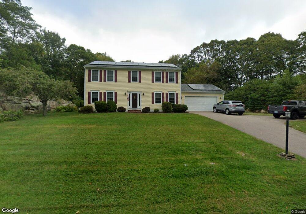
4 Lancaster Rd Westerly, RI 02891
Estimated Value: $947,265 - $1,268,000
4
Beds
3
Baths
2,195
Sq Ft
$506/Sq Ft
Est. Value
About This Home
This home is located at 4 Lancaster Rd, Westerly, RI 02891 and is currently estimated at $1,109,816, approximately $505 per square foot. 4 Lancaster Rd is a home located in Washington County with nearby schools including Westerly High School and St. Michael School.
Ownership History
Date
Name
Owned For
Owner Type
Purchase Details
Closed on
Oct 29, 1999
Sold by
Sweenor Builders Inc
Bought by
Schuerman Kevin and Scheuerman Joanne
Current Estimated Value
Create a Home Valuation Report for This Property
The Home Valuation Report is an in-depth analysis detailing your home's value as well as a comparison with similar homes in the area
Home Values in the Area
Average Home Value in this Area
Purchase History
| Date | Buyer | Sale Price | Title Company |
|---|---|---|---|
| Schuerman Kevin | $250,000 | -- |
Source: Public Records
Mortgage History
| Date | Status | Borrower | Loan Amount |
|---|---|---|---|
| Open | Schuerman Kevin | $105,000 | |
| Closed | Schuerman Kevin | $222,000 | |
| Closed | Schuerman Kevin | $200,000 | |
| Closed | Schuerman Kevin | $230,000 |
Source: Public Records
Tax History
| Year | Tax Paid | Tax Assessment Tax Assessment Total Assessment is a certain percentage of the fair market value that is determined by local assessors to be the total taxable value of land and additions on the property. | Land | Improvement |
|---|---|---|---|---|
| 2025 | $6,607 | $849,200 | $453,500 | $395,700 |
| 2024 | $6,346 | $607,300 | $309,100 | $298,200 |
| 2023 | $6,170 | $607,300 | $309,100 | $298,200 |
| 2022 | $6,134 | $607,300 | $309,100 | $298,200 |
| 2021 | $5,663 | $469,600 | $224,300 | $245,300 |
| 2020 | $5,565 | $469,600 | $224,300 | $245,300 |
| 2019 | $5,513 | $469,600 | $224,300 | $245,300 |
| 2018 | $5,319 | $430,700 | $224,300 | $206,400 |
| 2017 | $5,168 | $430,700 | $224,300 | $206,400 |
| 2016 | $5,168 | $430,700 | $224,300 | $206,400 |
| 2015 | $5,146 | $458,200 | $240,200 | $218,000 |
| 2014 | $5,063 | $458,200 | $240,200 | $218,000 |
Source: Public Records
Map
Nearby Homes
- 9 Compass Way Unit 201
- 9 Compass Way Unit 202
- 9 Compass Way Unit 101
- 9 Compass Way Unit 102
- 9 Compass Way Unit 103
- 9 Compass Way Unit 203
- 10 Tristam St
- 18 Timothy Dr
- 19 Wicklow Rd
- 109 Watch Hill Rd
- 27 Benson Ave
- 4 Shore Rd
- 417 River Rd
- 54 Sherwood Dr
- 4 Quail Run
- 33 Whipple Ave
- 52 Avondale Rd
- 23 Summertime Cir
- 22 Summertime Cir
- 60 Avondale Rd
- 2 Lancaster Rd
- 32 Seabury Dr
- 157 Winnapaug Rd
- 39 Lancaster Rd
- 151 Winnapaug Rd
- 34 Seabury Dr
- 28 Seabury Dr
- 159 Winnapaug Rd
- 33 Seabury Dr
- 149 Winnapaug Rd
- 161 Winnapaug Rd
- 35 Seabury Dr
- 8 Lancaster Rd
- 147 Winnapaug Rd
- 158 Winnapaug Rd
- 163 Winnapaug Rd
- 152 Winnapaug Rd
- 26 Seabury Dr
- 145 Winnapaug Rd
- 150 Winnapaug Rd
Your Personal Tour Guide
Ask me questions while you tour the home.