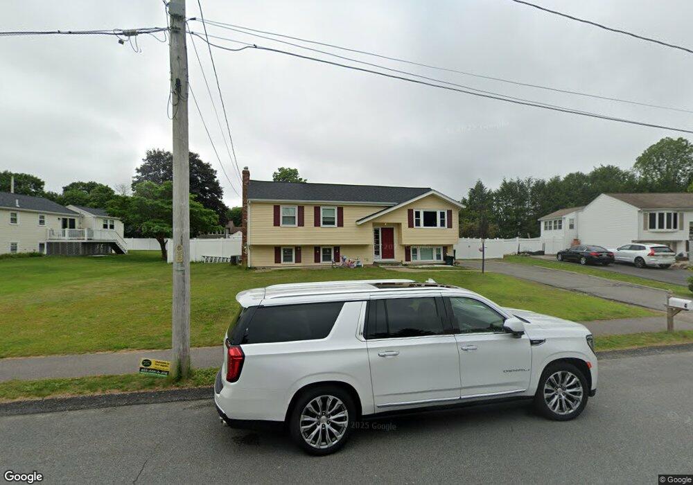
4 Leonard Cir Mansfield, MA 02048
Estimated Value: $711,000 - $792,000
3
Beds
3
Baths
1,811
Sq Ft
$413/Sq Ft
Est. Value
About This Home
This home is located at 4 Leonard Cir, Mansfield, MA 02048 and is currently estimated at $747,577, approximately $412 per square foot. 4 Leonard Cir is a home located in Bristol County with nearby schools including Everett W. Robinson Elementary School, Jordan/Jackson Elementary School, and Harold L. Qualters Middle School.
Create a Home Valuation Report for This Property
The Home Valuation Report is an in-depth analysis detailing your home's value as well as a comparison with similar homes in the area
Home Values in the Area
Average Home Value in this Area
Tax History
| Year | Tax Paid | Tax Assessment Tax Assessment Total Assessment is a certain percentage of the fair market value that is determined by local assessors to be the total taxable value of land and additions on the property. | Land | Improvement |
|---|---|---|---|---|
| 2025 | $8,272 | $628,100 | $252,300 | $375,800 |
| 2024 | $7,574 | $561,000 | $240,800 | $320,200 |
| 2023 | $7,351 | $521,700 | $240,800 | $280,900 |
| 2022 | $7,093 | $467,600 | $223,000 | $244,600 |
| 2021 | $6,837 | $445,100 | $212,300 | $232,800 |
| 2020 | $4,271 | $424,600 | $185,800 | $238,800 |
| 2019 | $3,714 | $424,200 | $177,000 | $247,200 |
| 2018 | $6,186 | $397,300 | $168,700 | $228,600 |
| 2017 | $5,955 | $396,500 | $163,800 | $232,700 |
| 2016 | $5,894 | $382,500 | $156,000 | $226,500 |
| 2015 | $5,448 | $351,500 | $156,000 | $195,500 |
Source: Public Records
Map
Nearby Homes
- 1 Deer Path Ln
- 7 Fieldstone Dr
- 44 Fairfield Park Unit 44
- 571 Ware St
- 97 East St
- 14 Windchime Dr
- 28 Court St
- 19 Barberry Rd
- 46 Hope St
- 150 Rumford Ave Unit 110
- 266 N Main St Unit 3
- 152 Central St
- 22 Pleasant St Unit C
- 81 Chilson Ave
- 166 Chauncy St
- 250 Mansfield Ave Unit 11
- 25 Kingman Ave
- 21 Juniper Rd
- 1769 West St
- 619 N Main St
Your Personal Tour Guide
Ask me questions while you tour the home.