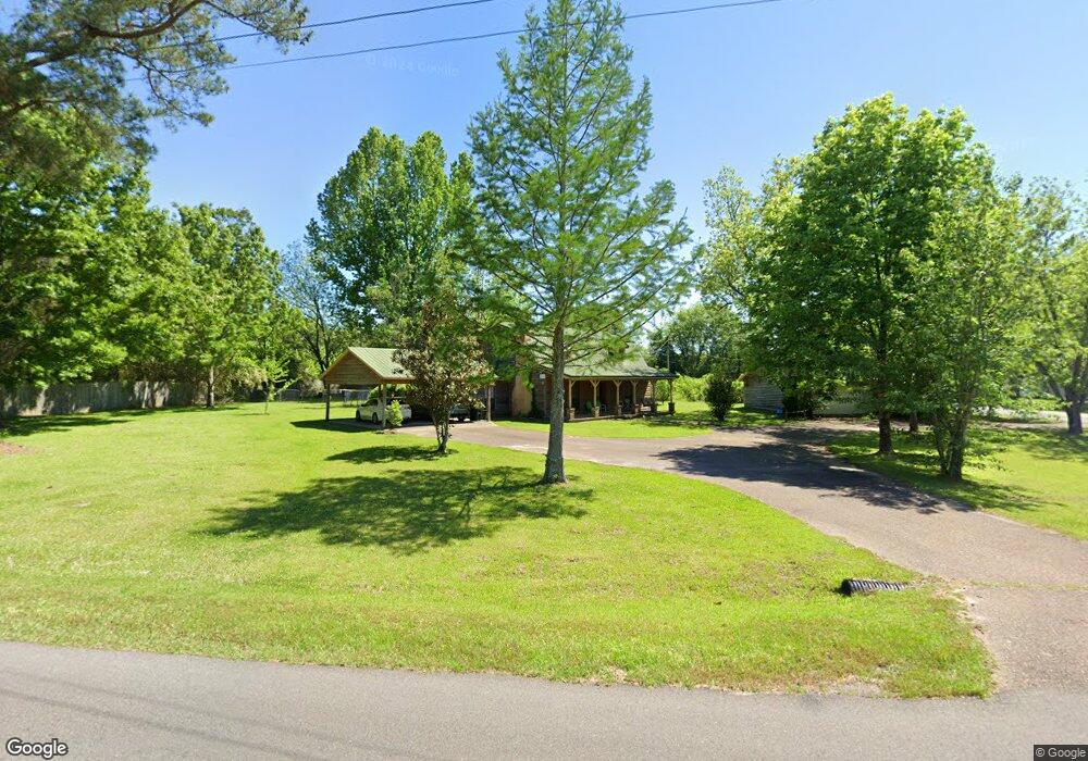
4 Lower Hamilton Hill Rd Laurel, MS 39443
Estimated Value: $92,000
Studio
1
Bath
1,736
Sq Ft
$53/Sq Ft
Est. Value
About This Home
This home is located at 4 Lower Hamilton Hill Rd, Laurel, MS 39443 and is currently priced at $92,000, approximately $52 per square foot. 4 Lower Hamilton Hill Rd is a home located in Jones County.
Ownership History
Date
Name
Owned For
Owner Type
Purchase Details
Closed on
Nov 21, 2012
Sold by
Adamson John M and Adamson Barbara S
Bought by
Hal Properties Llc
Current Estimated Value
Home Financials for this Owner
Home Financials are based on the most recent Mortgage that was taken out on this home.
Original Mortgage
$237,917,750
Interest Rate
3.43%
Purchase Details
Closed on
Dec 12, 2007
Sold by
Merritt Ann E and Merritt Ronnie R
Bought by
Adamson John and Adamson Barbara S
Home Financials for this Owner
Home Financials are based on the most recent Mortgage that was taken out on this home.
Original Mortgage
$105,449
Interest Rate
6.21%
Create a Home Valuation Report for This Property
The Home Valuation Report is an in-depth analysis detailing your home's value as well as a comparison with similar homes in the area
Purchase History
| Date | Buyer | Sale Price | Title Company |
|---|---|---|---|
| Hal Properties Llc | -- | -- | |
| Adamson John | -- | -- |
Source: Public Records
Mortgage History
| Date | Status | Borrower | Loan Amount |
|---|---|---|---|
| Closed | Hal Properties Llc | $237,917,750 | |
| Previous Owner | Adamson John | $105,449 |
Source: Public Records
Tax History
| Year | Tax Paid | Tax Assessment Tax Assessment Total Assessment is a certain percentage of the fair market value that is determined by local assessors to be the total taxable value of land and additions on the property. | Land | Improvement |
|---|---|---|---|---|
| 2025 | $3,203 | $20,294 | $0 | $0 |
| 2024 | $3,156 | $19,247 | $0 | $0 |
| 2023 | $3,156 | $19,247 | $0 | $0 |
| 2022 | $3,210 | $19,247 | $0 | $0 |
| 2021 | $3,220 | $19,247 | $0 | $0 |
| 2020 | $3,329 | $19,628 | $0 | $0 |
| 2019 | $3,339 | $19,628 | $0 | $0 |
| 2018 | $1,974 | $19,628 | $0 | $0 |
| 2017 | $1,974 | $11,615 | $0 | $0 |
| 2016 | $1,950 | $11,681 | $0 | $0 |
| 2015 | -- | $11,681 | $0 | $0 |
| 2014 | -- | $11,681 | $0 | $0 |
Source: Public Records
Map
Nearby Homes
- 11 Welborn Rd
- 220 County Barn Rd
- 132 County Barn Rd
- 5015 Highway 15 N
- 620 Shady Grove Moss Rd
- 54 Sharon Moss Rd
- 0 Sharon Moss Rd Unit 145888
- 4514 Forest Dr
- 1843 Sherwood Dr
- 155 Sharon Moss Rd
- Forest Glen Dr
- 60 Forest Dr
- 1105 Glenway Dr
- 62 Wilcher Dr
- 56 Mar Ree Dr
- 37 Mar - Ree Dr
- 3844 Millsaps Dr
- 8 Mar - Ree Dr
- 3836 Millsaps Dr
- TBA University Ave
- 4 Lower Hamilton Hill Rd
- 3 Lower Hamilton Hill Rd
- 268 Shady Grove Moss Rd
- 283 Shady Grove Moss Rd
- 10 Wt Johnson Rd
- 36 Wt Johnson Rd
- 300 Shady Grove Moss Rd
- 18 James Clark Rd
- 261 Shady Grove Moss Rd
- 241 Shady Grove Moss Rd
- 15 Wt Johnson Rd
- 246 Shady Grove Moss Rd
- 246 Shady Grove Moss Rd
- 37 Wt Johnson Rd
- 247 Shady Grove Moss Rd
- 22 James Clark Rd
- 2 Paul Harvey Rd
- 4 Karen Clark Rd
- 328 Shady Grove Moss Rd
- 15 Karen Clark Rd
Your Personal Tour Guide
Ask me questions while you tour the home.