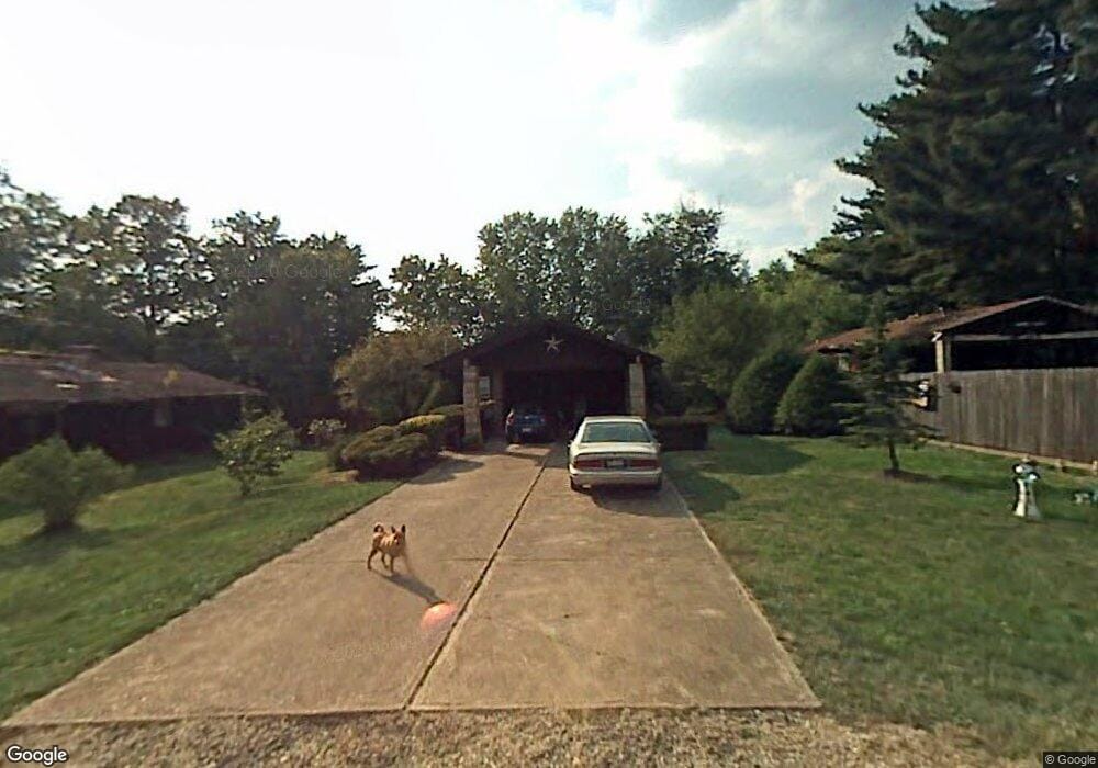
4 Maple Ct Woodsfield, OH 43793
Estimated Value: $147,045 - $175,000
Studio
3
Baths
1,232
Sq Ft
$135/Sq Ft
Est. Value
About This Home
This home is located at 4 Maple Ct, Woodsfield, OH 43793 and is currently estimated at $166,011, approximately $134 per square foot. 4 Maple Ct is a home located in Monroe County with nearby schools including Woodsfield Elementary School, Monroe Central High School, and St Sylvester Central School.
Ownership History
Date
Name
Owned For
Owner Type
Purchase Details
Closed on
May 10, 2025
Sold by
Morton Donald D and Morton Shawna
Bought by
Cariddi Rachel L and Cariddi Anthony J
Current Estimated Value
Purchase Details
Closed on
Jun 15, 2017
Sold by
Tank Alfred and Tank Neila
Bought by
Morton Donald D and Morton Shawna
Purchase Details
Closed on
Mar 14, 2017
Sold by
Stoehr Raymond T and Stoehr Rita E
Bought by
Stoehr Raymond T and Stoehr Rita E
Create a Home Valuation Report for This Property
The Home Valuation Report is an in-depth analysis detailing your home's value as well as a comparison with similar homes in the area
Purchase History
| Date | Buyer | Sale Price | Title Company |
|---|---|---|---|
| Cariddi Rachel L | $169,900 | Northwest Title | |
| Cariddi Rachel L | $169,900 | Northwest Title | |
| Morton Donald D | $86,500 | None Available | |
| Stoehr Raymond T | -- | None Available |
Source: Public Records
Tax History
| Year | Tax Paid | Tax Assessment Tax Assessment Total Assessment is a certain percentage of the fair market value that is determined by local assessors to be the total taxable value of land and additions on the property. | Land | Improvement |
|---|---|---|---|---|
| 2025 | $1,238 | $40,300 | $5,540 | $34,760 |
| 2024 | $1,058 | $33,590 | $4,620 | $28,970 |
| 2023 | $1,058 | $33,590 | $4,620 | $28,970 |
| 2022 | $957 | $33,590 | $4,620 | $28,970 |
| 2021 | $847 | $29,400 | $2,840 | $26,560 |
| 2020 | $847 | $29,400 | $2,840 | $26,560 |
| 2019 | $847 | $29,400 | $2,840 | $26,560 |
| 2018 | $510 | $27,650 | $2,360 | $25,290 |
| 2017 | $196 | $15,280 | $2,360 | $12,920 |
| 2016 | $199 | $15,280 | $2,360 | $12,920 |
| 2015 | $14 | $9,000 | $1,950 | $7,050 |
| 2014 | $14 | $9,000 | $1,950 | $7,050 |
| 2013 | $15 | $8,750 | $1,890 | $6,860 |
Source: Public Records
Map
Nearby Homes
- 208 Center St
- 108 S Paul St
- 314 Devon Rd
- 108.5 S Paul St
- 123 Andover Rd
- 210 E Church St
- 333 S Main St
- 306 Monroe St
- 851 Westview Dr
- 44952 Moose Ridge Rd
- 0 Rear Township Rd Unit 5181985
- 0 Greenbank Rd Unit 5181950
- 50877 Moore Ridge Rd
- 50911 State Route 26
- 41540 Bernard Cline Rd
- 51650 State Route 26
- 0 Township Rd 460 Unit 23727141
- Township Road 460
- 34739 Miltonsburg Calais Rd
- V/L Miltonsburg-Calais Rd
Your Personal Tour Guide
Ask me questions while you tour the home.