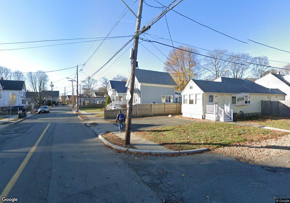
4 Maple Grove St Melrose, MA 02176
Melrose East Side NeighborhoodEstimated Value: $675,000 - $736,000
2
Beds
1
Bath
1,466
Sq Ft
$481/Sq Ft
Est. Value
About This Home
This home is located at 4 Maple Grove St, Melrose, MA 02176 and is currently estimated at $705,225, approximately $481 per square foot. 4 Maple Grove St is a home located in Middlesex County with nearby schools including Hoover Elementary School, Lincoln Elementary School, and Winthrop Elementary School.
Ownership History
Date
Name
Owned For
Owner Type
Purchase Details
Closed on
Jul 1, 2011
Sold by
Dinunzio Angela F Est
Bought by
Bourloukas John S and Bourloukas Tami B
Current Estimated Value
Home Financials for this Owner
Home Financials are based on the most recent Mortgage that was taken out on this home.
Original Mortgage
$204,250
Outstanding Balance
$141,245
Interest Rate
4.62%
Mortgage Type
Purchase Money Mortgage
Estimated Equity
$563,980
Create a Home Valuation Report for This Property
The Home Valuation Report is an in-depth analysis detailing your home's value as well as a comparison with similar homes in the area
Home Values in the Area
Average Home Value in this Area
Purchase History
| Date | Buyer | Sale Price | Title Company |
|---|---|---|---|
| Bourloukas John S | $215,000 | -- |
Source: Public Records
Mortgage History
| Date | Status | Borrower | Loan Amount |
|---|---|---|---|
| Open | Bourloukas John S | $204,250 |
Source: Public Records
Tax History
| Year | Tax Paid | Tax Assessment Tax Assessment Total Assessment is a certain percentage of the fair market value that is determined by local assessors to be the total taxable value of land and additions on the property. | Land | Improvement |
|---|---|---|---|---|
| 2025 | $59 | $596,600 | $456,600 | $140,000 |
| 2024 | $5,791 | $583,200 | $443,200 | $140,000 |
| 2023 | $5,603 | $537,700 | $402,900 | $134,800 |
| 2022 | $5,683 | $537,700 | $402,900 | $134,800 |
| 2021 | $5,425 | $495,400 | $376,000 | $119,400 |
| 2020 | $5,030 | $455,200 | $335,800 | $119,400 |
| 2019 | $4,644 | $429,600 | $310,200 | $119,400 |
| 2018 | $4,492 | $396,500 | $282,000 | $114,500 |
| 2017 | $4,288 | $363,400 | $268,600 | $94,800 |
| 2016 | $4,166 | $337,900 | $261,900 | $76,000 |
| 2015 | $3,944 | $304,300 | $228,300 | $76,000 |
| 2014 | $3,685 | $277,500 | $201,500 | $76,000 |
Source: Public Records
Map
Nearby Homes
- 0 S Mountain Avenue & O Cargil
- 31 Temple St
- 65 Beacon St
- 16 Willard St
- 177 Cherry St
- 59 Dexter Rd
- 17 Tyler St
- 7 Birch Hill Rd
- 11 Havelock St
- 70-72 Bainbridge St
- 37-39 Reserve St
- 55 Bowman St
- 42-44 Columbia St
- 124 Floral Ave
- 30 Wheeler Ave
- 1 Mill Rd
- 164 Floral Ave
- 48 Summit St
- 16 Fairview Terrace
- 56 Rocky Nook Unit 56
- 4 Swains Pond Ave
- 10 Maple Grove St
- 2 Swains Pond Ave
- 18 Swains Pond Ave
- 30 Swan St
- 5 Swains Pond Ave
- 9 Maple Grove St
- 16 Maple Grove St
- 29 Swains Pond Ave
- 13 Swains Pond Ave
- 15 Swains Pond Ave
- 0 Swains Pond Ave
- 24 Swains Pond Ave
- 15 Maple Grove St
- 21 Swains Pond Ave
- 20 Maple Grove St
- 10 Worth St
- 33 Swains Pond Ave
- 29 Swains Pond Ave
- 3 Swains Pond Ave Unit 1
Your Personal Tour Guide
Ask me questions while you tour the home.