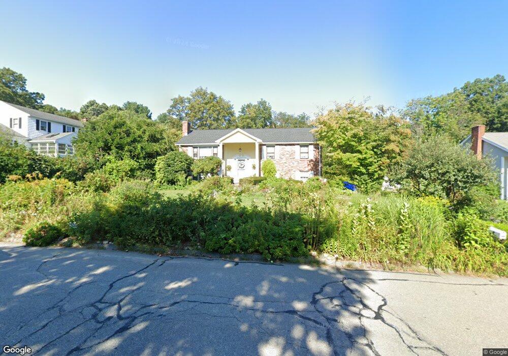
4 Maplecrest Dr Southborough, MA 01772
Estimated Value: $659,664 - $815,000
2
Beds
2
Baths
1,170
Sq Ft
$629/Sq Ft
Est. Value
About This Home
This home is located at 4 Maplecrest Dr, Southborough, MA 01772 and is currently estimated at $735,666, approximately $628 per square foot. 4 Maplecrest Dr is a home located in Worcester County with nearby schools including Mary E Finn School, Albert S. Woodward Memorial School, and Margaret A. Neary School.
Ownership History
Date
Name
Owned For
Owner Type
Purchase Details
Closed on
Aug 26, 2015
Sold by
4 Maplecrest Drive T and Wallace
Bought by
Spicer Holly E and Spicer Herrick H
Current Estimated Value
Purchase Details
Closed on
Dec 29, 2004
Sold by
Wallace Barbara C
Bought by
4 Maplecrest Dr T and Wallace
Create a Home Valuation Report for This Property
The Home Valuation Report is an in-depth analysis detailing your home's value as well as a comparison with similar homes in the area
Home Values in the Area
Average Home Value in this Area
Purchase History
| Date | Buyer | Sale Price | Title Company |
|---|---|---|---|
| Spicer Holly E | -- | -- | |
| Spicer Holly E | -- | -- | |
| 4 Maplecrest Dr T | -- | -- | |
| 4 Maplecrest Dr T | -- | -- |
Source: Public Records
Mortgage History
| Date | Status | Borrower | Loan Amount |
|---|---|---|---|
| Previous Owner | 4 Maplecrest Dr T | $60,000 |
Source: Public Records
Tax History
| Year | Tax Paid | Tax Assessment Tax Assessment Total Assessment is a certain percentage of the fair market value that is determined by local assessors to be the total taxable value of land and additions on the property. | Land | Improvement |
|---|---|---|---|---|
| 2025 | $9,213 | $667,100 | $317,900 | $349,200 |
| 2024 | $8,948 | $643,300 | $313,500 | $329,800 |
| 2023 | $8,918 | $604,200 | $296,700 | $307,500 |
| 2022 | $8,656 | $531,700 | $258,100 | $273,600 |
| 2021 | $2,420 | $500,600 | $262,500 | $238,100 |
| 2020 | $8,315 | $499,100 | $252,200 | $246,900 |
| 2019 | $7,997 | $477,700 | $238,900 | $238,800 |
| 2018 | $6,123 | $450,900 | $229,800 | $221,100 |
| 2017 | $7,093 | $433,000 | $229,800 | $203,200 |
| 2016 | $6,750 | $426,700 | $230,200 | $196,500 |
| 2015 | $6,700 | $418,200 | $216,600 | $201,600 |
Source: Public Records
Map
Nearby Homes
- 97 Framingham Rd
- 6 Maplecrest Dr
- 3 Maplecrest Dr
- 8 Maplecrest Dr
- 1 Maplecrest Dr
- 1 Pinecone Ln
- 101 Framingham Rd
- 10 Maplecrest Dr
- 2 Pinecone Ln
- 84 Framingham Rd
- 1 Buffalo Run
- 88 Framingham Rd
- 82 Framingham Rd
- 12 Maplecrest Dr
- 3 Pinecone Ln
- 86 Framingham Rd
- 4 Pinecone Ln
- 5 Maplecrest Dr
- 90 Framingham Rd
- 14 Maplecrest Dr
Your Personal Tour Guide
Ask me questions while you tour the home.