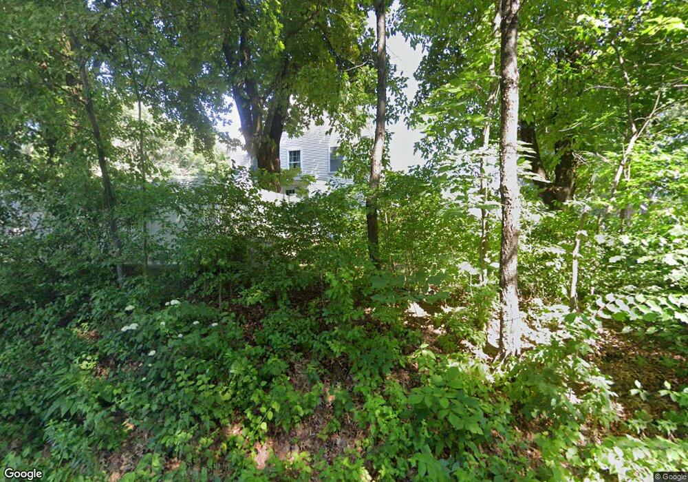
4 Massasoit Blvd Plaistow, NH 03865
Estimated Value: $656,000 - $724,000
4
Beds
3
Baths
3,565
Sq Ft
$196/Sq Ft
Est. Value
About This Home
This home is located at 4 Massasoit Blvd, Plaistow, NH 03865 and is currently estimated at $699,021, approximately $196 per square foot. 4 Massasoit Blvd is a home with nearby schools including Pollard Elementary School, Timberlane Regional Middle School, and Timberlane Regional High School.
Ownership History
Date
Name
Owned For
Owner Type
Purchase Details
Closed on
Oct 21, 2015
Sold by
Kissel Kimberly J
Bought by
Currier Heather K and Currier Jay D
Current Estimated Value
Home Financials for this Owner
Home Financials are based on the most recent Mortgage that was taken out on this home.
Original Mortgage
$296,555
Interest Rate
4.4%
Mortgage Type
FHA
Create a Home Valuation Report for This Property
The Home Valuation Report is an in-depth analysis detailing your home's value as well as a comparison with similar homes in the area
Home Values in the Area
Average Home Value in this Area
Purchase History
| Date | Buyer | Sale Price | Title Company |
|---|---|---|---|
| Currier Heather K | $302,133 | -- |
Source: Public Records
Mortgage History
| Date | Status | Borrower | Loan Amount |
|---|---|---|---|
| Closed | Currier Heather K | $296,555 |
Source: Public Records
Tax History Compared to Growth
Tax History
| Year | Tax Paid | Tax Assessment Tax Assessment Total Assessment is a certain percentage of the fair market value that is determined by local assessors to be the total taxable value of land and additions on the property. | Land | Improvement |
|---|---|---|---|---|
| 2024 | $9,227 | $445,300 | $136,200 | $309,100 |
| 2023 | $9,948 | $445,300 | $136,200 | $309,100 |
| 2022 | $8,465 | $445,300 | $136,200 | $309,100 |
| 2021 | $8,443 | $445,300 | $136,200 | $309,100 |
| 2020 | $9,885 | $456,590 | $112,790 | $343,800 |
| 2019 | $9,730 | $456,590 | $112,790 | $343,800 |
| 2018 | $8,867 | $360,580 | $95,680 | $264,900 |
| 2017 | $8,639 | $360,580 | $95,680 | $264,900 |
| 2016 | $8,113 | $360,580 | $95,680 | $264,900 |
| 2015 | $8,466 | $350,410 | $116,810 | $233,600 |
| 2014 | $7,648 | $304,330 | $98,430 | $205,900 |
| 2011 | $6,233 | $252,230 | $98,430 | $153,800 |
Source: Public Records
Map
Nearby Homes
- 22 W Pine St
- 201 Oak Ridge Rd
- 207 Oak Ridge Rd
- 28 Forrest St
- 5 Whiton Place
- 15 Canterbury Forest Unit B
- 28 Westville Rd
- 8 Iris Way Unit 8
- 42 Plaistow Rd
- 113 Brickett Hill Cir Unit 113
- 175 Brickett Hill Cir Unit 175
- 120 Brickett Hill Cir Unit 120
- 0 Plaistow Rd Unit 73184617
- 34 Bel's Way
- 440 North Ave Unit 60
- 440 North Ave Unit 145
- 440 North Ave Unit 234
- 440 North Ave Unit 110
- 55 Ledge Rd
- 5 Balsam Ct
- 8 Massasoit Blvd
- 3 Massasoit Blvd
- 28 W Pine St
- 12 Massasoit Blvd
- 7 Massasoit Blvd
- 26 W Pine St
- 30 W Pine St
- 9 Massasoit Blvd
- 11 Massasoit Blvd
- 14 Massasoit Blvd
- 19 W Pine St
- 20 W Pine St
- 21 W Pine St
- 17 W Pine St
- 18 W Pine St
- 13 Massasoit Blvd
- 32 W Pine St
- 32 W Pine St Unit B
- 32 W Pine St Unit A
- 25 W Pine St