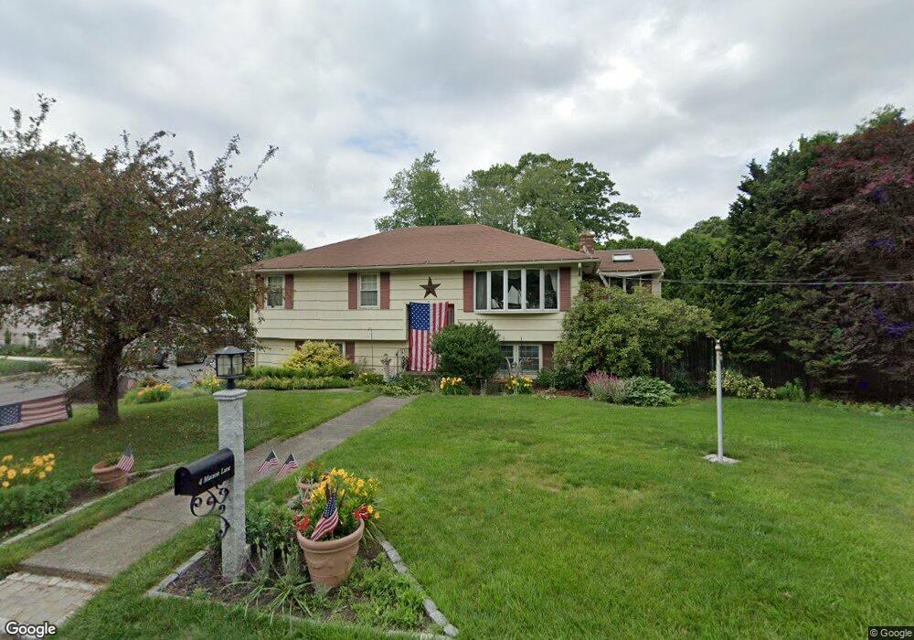
4 Matson Ln Millbury, MA 01527
Estimated Value: $457,000 - $496,722
4
Beds
2
Baths
1,264
Sq Ft
$380/Sq Ft
Est. Value
About This Home
This home is located at 4 Matson Ln, Millbury, MA 01527 and is currently estimated at $480,181, approximately $379 per square foot. 4 Matson Ln is a home located in Worcester County with nearby schools including Elmwood Street Elementary School, Raymond E. Shaw Elementary School, and Millbury Junior/Senior High School.
Ownership History
Date
Name
Owned For
Owner Type
Purchase Details
Closed on
Feb 7, 1994
Sold by
Perry James R and Perry Maria
Bought by
Perry James R
Current Estimated Value
Create a Home Valuation Report for This Property
The Home Valuation Report is an in-depth analysis detailing your home's value as well as a comparison with similar homes in the area
Home Values in the Area
Average Home Value in this Area
Purchase History
| Date | Buyer | Sale Price | Title Company |
|---|---|---|---|
| Perry James R | $140,000 | -- | |
| Perry James R | $140,000 | -- |
Source: Public Records
Mortgage History
| Date | Status | Borrower | Loan Amount |
|---|---|---|---|
| Open | Perry James R | $161,600 | |
| Closed | Perry James R | $75,000 | |
| Closed | Perry James R | $50,000 |
Source: Public Records
Tax History
| Year | Tax Paid | Tax Assessment Tax Assessment Total Assessment is a certain percentage of the fair market value that is determined by local assessors to be the total taxable value of land and additions on the property. | Land | Improvement |
|---|---|---|---|---|
| 2025 | $5,371 | $401,100 | $109,400 | $291,700 |
| 2024 | $4,939 | $373,300 | $101,400 | $271,900 |
| 2023 | $4,540 | $314,200 | $71,100 | $243,100 |
| 2022 | $4,245 | $283,000 | $71,100 | $211,900 |
| 2021 | $11,616 | $271,300 | $71,100 | $200,200 |
| 2020 | $4,714 | $279,700 | $71,100 | $208,600 |
| 2019 | $4,608 | $251,400 | $64,600 | $186,800 |
| 2018 | $3,898 | $241,300 | $64,600 | $176,700 |
| 2017 | $3,600 | $219,100 | $64,600 | $154,500 |
| 2016 | $3,597 | $218,500 | $64,600 | $153,900 |
| 2015 | $3,577 | $217,300 | $68,700 | $148,600 |
| 2014 | $3,435 | $200,900 | $68,700 | $132,200 |
Source: Public Records
Map
Nearby Homes
- 12 Irene Ct
- 7 Barbara St
- 11 Maplewood Rd
- 2 Diane St
- 1459 Grafton Rd
- 8 Nightview Place
- 48 Macarthur Dr
- 182 Weatherstone Dr
- 51 John Dr Unit 51
- 7 Clarissa St
- 1195 Grafton St Unit 29
- 1195 Grafton St Unit 39
- 9 Marissa Cir
- 47 Ideal Rd
- 2 Wilson Rd Unit B
- 2 Wilson Rd Unit A
- 31 Blithewood Ave Unit 705
- 15 Lakeside Dr
- 194 Worcester St
- 270 Sunderland Rd Unit 73