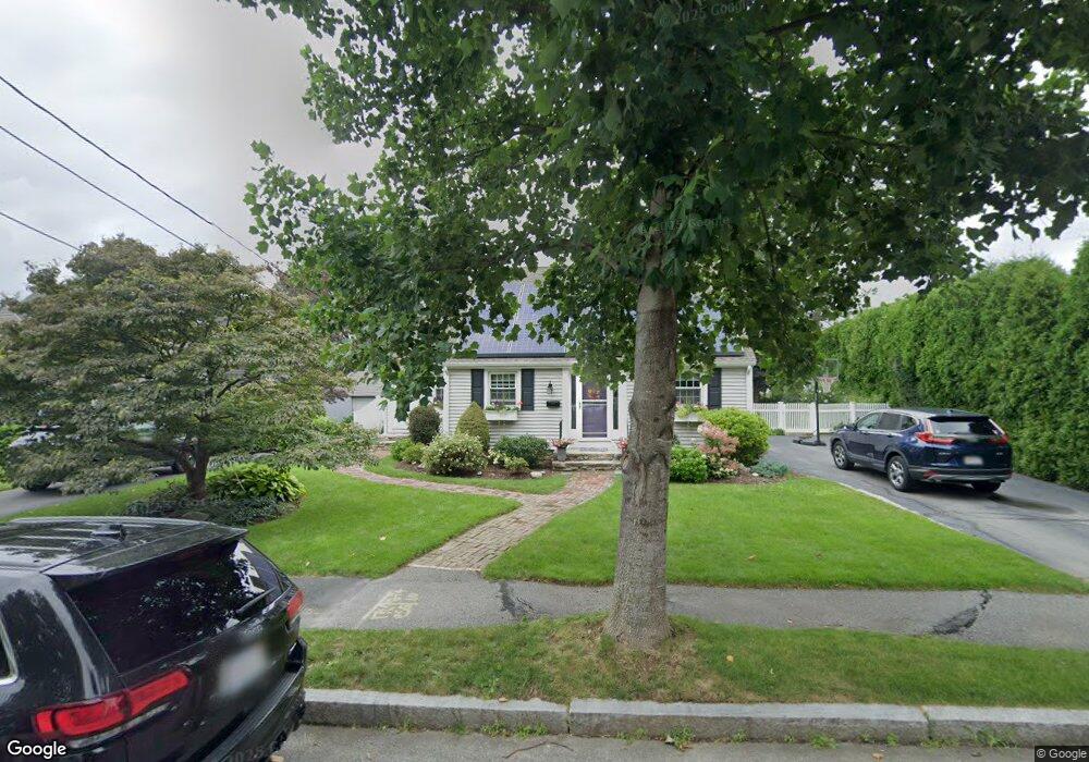
4 Mayflower Cir Worcester, MA 01606
Greendale NeighborhoodEstimated Value: $458,000 - $496,000
3
Beds
1
Bath
1,784
Sq Ft
$268/Sq Ft
Est. Value
About This Home
This home is located at 4 Mayflower Cir, Worcester, MA 01606 and is currently estimated at $478,654, approximately $268 per square foot. 4 Mayflower Cir is a home located in Worcester County with nearby schools including Jacob Hiatt Magnet School, Chandler Magnet, and Thorndyke Road School.
Ownership History
Date
Name
Owned For
Owner Type
Purchase Details
Closed on
Jul 14, 2022
Sold by
Cooney Rt
Bought by
Cooney Ret
Current Estimated Value
Purchase Details
Closed on
Nov 18, 2021
Sold by
Cooney Rt
Bought by
Cooney Ret
Create a Home Valuation Report for This Property
The Home Valuation Report is an in-depth analysis detailing your home's value as well as a comparison with similar homes in the area
Home Values in the Area
Average Home Value in this Area
Purchase History
| Date | Buyer | Sale Price | Title Company |
|---|---|---|---|
| Cooney Ret | -- | None Available | |
| Cooney Ret | -- | None Available |
Source: Public Records
Tax History Compared to Growth
Tax History
| Year | Tax Paid | Tax Assessment Tax Assessment Total Assessment is a certain percentage of the fair market value that is determined by local assessors to be the total taxable value of land and additions on the property. | Land | Improvement |
|---|---|---|---|---|
| 2025 | $5,416 | $410,600 | $118,000 | $292,600 |
| 2024 | $5,295 | $385,100 | $118,000 | $267,100 |
| 2023 | $5,086 | $354,700 | $102,600 | $252,100 |
| 2022 | $4,673 | $307,200 | $82,100 | $225,100 |
| 2021 | $4,586 | $281,700 | $65,600 | $216,100 |
| 2020 | $4,456 | $262,100 | $65,700 | $196,400 |
| 2019 | $4,235 | $235,300 | $59,100 | $176,200 |
| 2018 | $4,242 | $224,300 | $59,100 | $165,200 |
| 2017 | $4,048 | $210,600 | $59,100 | $151,500 |
| 2016 | $4,011 | $194,600 | $43,100 | $151,500 |
| 2015 | $3,906 | $194,600 | $43,100 | $151,500 |
| 2014 | $3,802 | $194,600 | $43,100 | $151,500 |
Source: Public Records
Map
Nearby Homes
- 15 Inwood Rd
- 43 Fales St
- 68 Housatonic St
- 314 Burncoat St
- 14 Housatonic St
- 40 Francis St
- 95 Saint Nicholas Ave
- 14 Fales St
- 80 Clark St
- 12 Prudential Rd
- 49 Prudential Rd
- 29 E Mountain
- 18 Claffey Ave
- 80 Prudential Rd
- 3 Granville Ave
- 13 Fatima Ln
- 2 Maria Ln Unit 2
- 28 Brooks St
- 134 Whitmarsh Ave
- 89 E Mountain St
- 8 Mayflower Cir
- 384 Burncoat St
- 388 Burncoat St
- 12 Mayflower Cir
- 380 Burncoat St
- 7 Mayflower Cir
- 392 Burncoat St
- 6 Dolan St
- 16 Mayflower Cir
- 11 Mayflower Cir
- 136 Randall St
- 394 Burncoat St
- 385 Burncoat St
- 3 Tara Ln
- 387 Burncoat St
- 20 Mayflower Cir
- 15 Mayflower Cir
- 383 Burncoat St
- 379 Burncoat St
- 85 Fales St