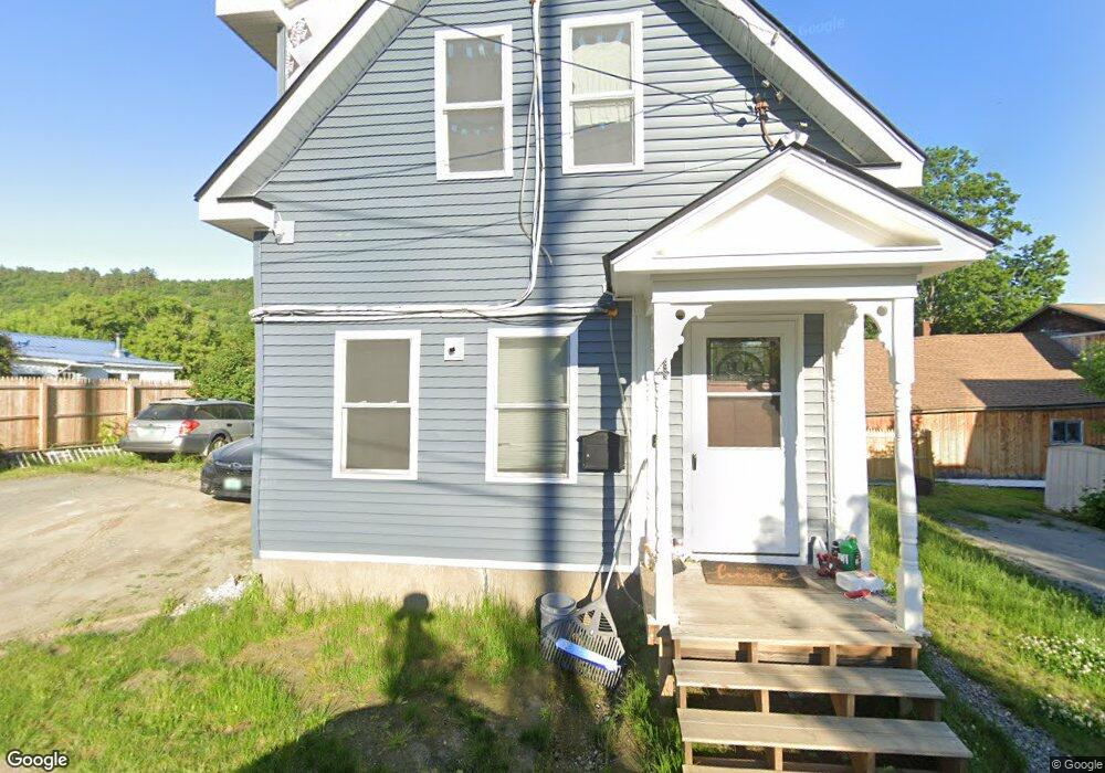
4 Mccarty Ave Windsor, VT 05089
Estimated Value: $199,000 - $214,000
3
Beds
2
Baths
994
Sq Ft
$208/Sq Ft
Est. Value
About This Home
This home is located at 4 Mccarty Ave, Windsor, VT 05089 and is currently estimated at $206,642, approximately $207 per square foot. 4 Mccarty Ave is a home located in Windsor County with nearby schools including Windsor School and Foundations Upper Valley.
Ownership History
Date
Name
Owned For
Owner Type
Purchase Details
Closed on
Sep 13, 2024
Sold by
Hurd Richard
Bought by
Boutin Keisha
Current Estimated Value
Purchase Details
Closed on
Jul 15, 2022
Sold by
Simoneau Aaron
Bought by
Boutin Keisha and Hurd Richard
Purchase Details
Closed on
Nov 12, 2021
Sold by
Town Of Windsor
Bought by
Simoneau Aaron
Purchase Details
Closed on
Jan 25, 2021
Sold by
Town Of Windsor
Purchase Details
Closed on
Oct 31, 2005
Sold by
Lecouffe Joseph
Bought by
Simoneau Aaron and Simoneau April
Create a Home Valuation Report for This Property
The Home Valuation Report is an in-depth analysis detailing your home's value as well as a comparison with similar homes in the area
Home Values in the Area
Average Home Value in this Area
Purchase History
| Date | Buyer | Sale Price | Title Company |
|---|---|---|---|
| Boutin Keisha | $84,770 | -- | |
| Boutin Keisha | $15,000 | -- | |
| Boutin Keisha | $15,000 | -- | |
| Boutin Keisha | $15,000 | -- | |
| Simoneau Aaron | $14,643 | -- | |
| Simoneau Aaron | $14,643 | -- | |
| -- | $3,152 | -- | |
| Simoneau Aaron | $99,000 | -- | |
| -- | $3,152 | -- |
Source: Public Records
Tax History
| Year | Tax Paid | Tax Assessment Tax Assessment Total Assessment is a certain percentage of the fair market value that is determined by local assessors to be the total taxable value of land and additions on the property. | Land | Improvement |
|---|---|---|---|---|
| 2024 | $1,300 | $169,540 | $19,420 | $150,120 |
| 2023 | $1,300 | $80,740 | $19,130 | $61,610 |
| 2022 | $2,672 | $80,740 | $19,130 | $61,610 |
| 2021 | $2,669 | $80,740 | $19,130 | $61,610 |
| 2020 | $2,599 | $80,740 | $19,130 | $61,610 |
| 2019 | $2,501 | $80,740 | $19,130 | $61,610 |
| 2018 | $2,421 | $80,740 | $19,130 | $61,610 |
| 2017 | $0 | $80,740 | $19,130 | $61,610 |
| 2016 | $2,156 | $80,740 | $19,130 | $61,610 |
| 2015 | -- | $807 | $0 | $0 |
| 2014 | -- | $807 | $0 | $0 |
| 2013 | -- | $807 | $0 | $0 |
Source: Public Records
Map
Nearby Homes
- 64 State St
- 3 Cherry St
- 528 Town House Rd
- 00 Tandy Brook Rd Unit 12
- 223 Taylor Dr
- 11 Cubb Ct
- 84 Cubb Ct
- 23 Cubb Ct
- 108 Cubb Ct
- 505 Back Mountain Rd Unit 14
- 517 Back Mountain Rd
- 763 Center Rd
- 0 Town House Rd Unit 28
- 273 Route 5 N
- 1487 Nh Route 12a
- 19 Spruce Park Dr
- 66 Country Skyline Blvd
- 295 Hotel Rd Unit 15
- 295 Hotel Rd Unit 10/10A
- 72 Mountains Edge Rd Unit 508
Your Personal Tour Guide
Ask me questions while you tour the home.