4 Mill Site Rd Unit 1 Hadley, MA 01035
Estimated Value: $615,000 - $1,079,000
5
Beds
3
Baths
3,400
Sq Ft
$271/Sq Ft
Est. Value
About This Home
This home is located at 4 Mill Site Rd Unit 1, Hadley, MA 01035 and is currently estimated at $922,040, approximately $271 per square foot. 4 Mill Site Rd Unit 1 is a home located in Hampshire County with nearby schools including Hadley Elementary School, Pioneer Valley Chinese Immersion Charter School, and The Common School.
Ownership History
Date
Name
Owned For
Owner Type
Purchase Details
Closed on
Jun 15, 2010
Sold by
Nikki B Llc
Bought by
Matos-Auerbach Melisa and Auerbach Brent L
Current Estimated Value
Home Financials for this Owner
Home Financials are based on the most recent Mortgage that was taken out on this home.
Original Mortgage
$432,000
Outstanding Balance
$291,509
Interest Rate
5.11%
Mortgage Type
Purchase Money Mortgage
Estimated Equity
$630,531
Create a Home Valuation Report for This Property
The Home Valuation Report is an in-depth analysis detailing your home's value as well as a comparison with similar homes in the area
Home Values in the Area
Average Home Value in this Area
Purchase History
| Date | Buyer | Sale Price | Title Company |
|---|---|---|---|
| Matos-Auerbach Melisa | $590,000 | -- |
Source: Public Records
Mortgage History
| Date | Status | Borrower | Loan Amount |
|---|---|---|---|
| Open | Matos-Auerbach Melisa | $432,000 |
Source: Public Records
Tax History Compared to Growth
Tax History
| Year | Tax Paid | Tax Assessment Tax Assessment Total Assessment is a certain percentage of the fair market value that is determined by local assessors to be the total taxable value of land and additions on the property. | Land | Improvement |
|---|---|---|---|---|
| 2025 | $9,366 | $805,300 | $144,900 | $660,400 |
| 2024 | $8,972 | $787,700 | $144,900 | $642,800 |
| 2023 | $8,532 | $739,300 | $144,900 | $594,400 |
| 2022 | $7,706 | $632,700 | $144,900 | $487,800 |
| 2021 | $7,477 | $623,100 | $144,900 | $478,200 |
| 2020 | $7,522 | $588,600 | $144,900 | $443,700 |
| 2019 | $7,275 | $588,600 | $144,900 | $443,700 |
| 2018 | $7,116 | $588,600 | $144,900 | $443,700 |
| 2017 | $6,672 | $576,700 | $144,900 | $431,800 |
| 2016 | $6,430 | $576,700 | $144,900 | $431,800 |
| 2015 | $6,242 | $574,800 | $144,900 | $429,900 |
| 2014 | $6,116 | $574,800 | $144,900 | $429,900 |
Source: Public Records
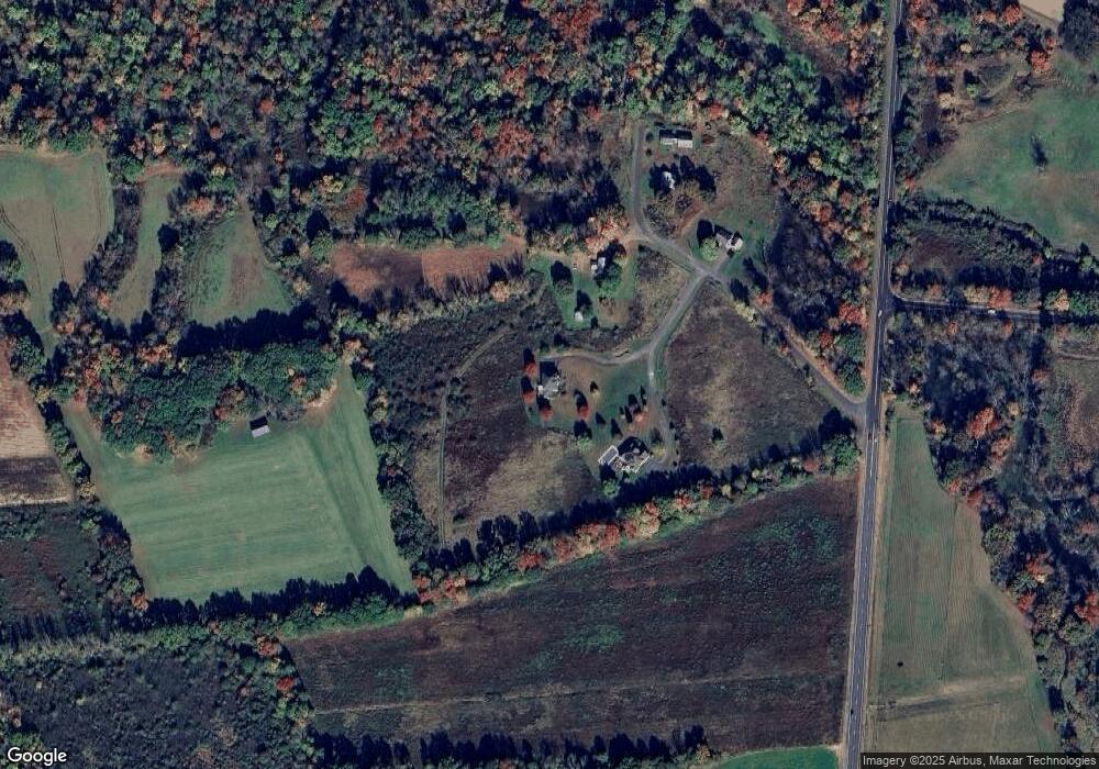
Map
Nearby Homes
- 7 Roosevelt St
- 88 Farview Way
- 39 Valley Ln
- 65 N Prospect St
- 18 N Prospect St
- 26 Greenleaves Dr Unit 620
- 328 Russell St
- 161 Chestnut St
- 48 Gray St
- 136 Main St
- 0 Red Gate Ln Unit 73348273
- 11 Sheerman Ln
- 185 Cherry Ln
- 13 Harlow Dr
- 58 Main St Unit 4
- 58 Main St Unit 3
- 305 Strong St
- 16 Rocky Hill Rd
- 958 E Pleasant St
- 110 Grantwood Dr
- 4 Mill Site Rd
- 2 Mill Site Rd
- 6 Mill Site Rd
- 3 Mill Site Rd
- 0 N Maple St
- 0 N Maple St Unit 14120318
- 0 N Maple St Unit 14120319
- 0 N Maple St Unit 72702838
- 9 Mill Site Rd
- 5 Mill Site Rd
- 0 Mill Site Rd Unit 70862370
- 0 Mill Site Rd Unit 70950414
- 1 Mill Site Rd
- 6 Mill River Ln
- 107 Roosevelt St
- 3 Mill River Ln
- 105 Roosevelt St
- 101 Stockbridge St
- 2 Mill River Ln
- 91 Stockbridge St