4 Mountain Ridge Rd Meredith, NH 03253
Estimated Value: $1,281,000 - $1,402,000
4
Beds
5
Baths
2,534
Sq Ft
$532/Sq Ft
Est. Value
About This Home
This home is located at 4 Mountain Ridge Rd, Meredith, NH 03253 and is currently estimated at $1,347,264, approximately $531 per square foot. 4 Mountain Ridge Rd is a home located in Belknap County with nearby schools including Inter-Lakes Elementary School, Sandwich Central School, and Inter-Lakes Middle High School.
Ownership History
Date
Name
Owned For
Owner Type
Purchase Details
Closed on
Nov 13, 2025
Sold by
Keenan
Bought by
Barry Thomas J and Barry Ann M
Current Estimated Value
Home Financials for this Owner
Home Financials are based on the most recent Mortgage that was taken out on this home.
Original Mortgage
$1,040,000
Outstanding Balance
$1,038,055
Interest Rate
6.34%
Mortgage Type
New Conventional
Estimated Equity
$309,209
Purchase Details
Closed on
Dec 29, 2016
Sold by
Keenan J K J and Keenan Barbara C
Bought by
Kevin and Kevin Barbara Keenan
Purchase Details
Closed on
Jun 14, 2013
Sold by
Rohrer Mark B and Rohrer Elizabeth M
Bought by
Keenan J Kevin J and Keenan Barbara C
Purchase Details
Closed on
Jul 16, 2007
Sold by
Stabile Stephen L
Bought by
Rohrer Mark B and Rohrer Elizabeth M
Home Financials for this Owner
Home Financials are based on the most recent Mortgage that was taken out on this home.
Original Mortgage
$417,000
Interest Rate
6.48%
Mortgage Type
Purchase Money Mortgage
Create a Home Valuation Report for This Property
The Home Valuation Report is an in-depth analysis detailing your home's value as well as a comparison with similar homes in the area
Home Values in the Area
Average Home Value in this Area
Purchase History
| Date | Buyer | Sale Price | Title Company |
|---|---|---|---|
| Barry Thomas J | $1,300,000 | -- | |
| Barry Thomas J | $1,300,000 | -- | |
| Kevin | -- | -- | |
| Kevin | -- | -- | |
| F Kevin | -- | -- | |
| Keenan J Kevin J | $525,000 | -- | |
| Keenan J Kevin J | $525,000 | -- | |
| Rohrer Mark B | $599,000 | -- | |
| Rohrer Mark B | $599,000 | -- |
Source: Public Records
Mortgage History
| Date | Status | Borrower | Loan Amount |
|---|---|---|---|
| Open | Barry Thomas J | $1,040,000 | |
| Closed | Barry Thomas J | $1,040,000 | |
| Previous Owner | Rohrer Mark B | $358,016 | |
| Previous Owner | Rohrer Mark B | $415,000 | |
| Previous Owner | Rohrer Mark B | $417,000 |
Source: Public Records
Tax History
| Year | Tax Paid | Tax Assessment Tax Assessment Total Assessment is a certain percentage of the fair market value that is determined by local assessors to be the total taxable value of land and additions on the property. | Land | Improvement |
|---|---|---|---|---|
| 2024 | $10,479 | $1,021,300 | $313,100 | $708,200 |
| 2023 | $10,101 | $1,021,300 | $313,100 | $708,200 |
| 2022 | $9,308 | $666,300 | $228,300 | $438,000 |
| 2021 | $8,948 | $666,300 | $228,300 | $438,000 |
| 2020 | $9,342 | $666,300 | $228,300 | $438,000 |
| 2019 | $9,270 | $583,400 | $184,400 | $399,000 |
| 2018 | $9,113 | $583,400 | $184,400 | $399,000 |
| 2016 | $8,612 | $552,400 | $165,100 | $387,300 |
| 2015 | $8,396 | $552,400 | $165,100 | $387,300 |
| 2014 | $8,192 | $552,400 | $165,100 | $387,300 |
| 2013 | $7,368 | $511,300 | $165,100 | $346,200 |
Source: Public Records
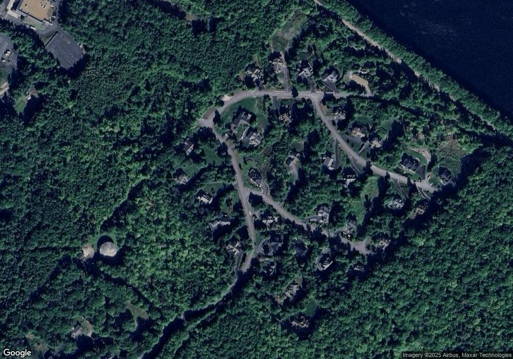
Map
Nearby Homes
- 18 Bay Ridge Dr
- 21 Upper Ladd Hill Rd
- 29 S Watch Rd
- 2 Waukewan Ave
- 35 Reservoir Rd
- 34-35-36 Commerce Ct
- 75 Neal Shore Rd
- 9 Westbury Rd
- 00 Tracy Way Unit 63
- 53 Oak Knoll Rd
- 105 Nh Route 25
- 8 Oak Knoll Rd
- 11 Bonney Shores Rd
- 47 Clover Ridge Rd
- 21 Barnard Ridge Rd
- Lot 12-5 Needle Eye Rd
- 11 Birch Ledge Rd
- 64 Granite Ridge
- 74 Granite Ridge
- 78 Granite Ridge
- 4 Mountain Ridge Rd
- 4 Mountain Ridge Rd
- 1 Mountain Ridge Dr
- 18G Mile Point Dr
- 8 Mountain Ridge Rd
- 8 Mountain Ridge Rd
- 97 Upper Mile Point Dr
- 115 Upper Mile Point Dr
- 94 Upper Mile Point Dr
- 112 Upper Mile Point Dr
- 119 Upper Mile Point Dr
- 95 Upper Mile Point Dr
- 147 Upper Mile Point Dr
- 12 Mountain Ridge Rd
- 114 Upper Mile Point Dr
- 5 Bay Ridge Dr
- 9 Mountain Ridge Dr
- 21&Slip 8 Mountain Ridge Dr
- 92 Upper Mile Point Dr
- 93 Upper Mile Point Dr
Your Personal Tour Guide
Ask me questions while you tour the home.