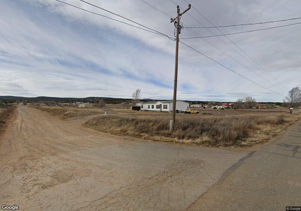
4 Navarro Rd Edgewood, NM 87015
Estimated Value: $319,000 - $370,000
3
Beds
2
Baths
2,128
Sq Ft
$162/Sq Ft
Est. Value
About This Home
This home is located at 4 Navarro Rd, Edgewood, NM 87015 and is currently estimated at $344,546, approximately $161 per square foot. 4 Navarro Rd is a home located in Bernalillo County with nearby schools including Route 66 Elementary School, Edgewood Middle School, and Moriarty High School.
Ownership History
Date
Name
Owned For
Owner Type
Purchase Details
Closed on
Jan 19, 2018
Sold by
Mcclannhan Robin Lee
Bought by
Mcclanahan Rory M and Mcclanahan Rory
Current Estimated Value
Purchase Details
Closed on
Mar 5, 2003
Sold by
First Continental Mortgage Co
Bought by
Mcclannahan Rory M and Mcclannahan Robin Lee
Home Financials for this Owner
Home Financials are based on the most recent Mortgage that was taken out on this home.
Original Mortgage
$102,485
Outstanding Balance
$43,603
Interest Rate
5.86%
Mortgage Type
VA
Estimated Equity
$300,943
Purchase Details
Closed on
Apr 25, 2000
Sold by
Federal National Mortgage Association
Bought by
Loucks Lowell R and Loucks Donna C
Home Financials for this Owner
Home Financials are based on the most recent Mortgage that was taken out on this home.
Original Mortgage
$89,600
Interest Rate
8.21%
Create a Home Valuation Report for This Property
The Home Valuation Report is an in-depth analysis detailing your home's value as well as a comparison with similar homes in the area
Purchase History
| Date | Buyer | Sale Price | Title Company |
|---|---|---|---|
| Mcclanahan Rory M | -- | Fidelity National Title Ins | |
| Mcclannahan Rory M | -- | First American Title Ins Co | |
| Loucks Lowell R | -- | First American Title |
Source: Public Records
Mortgage History
| Date | Status | Borrower | Loan Amount |
|---|---|---|---|
| Open | Mcclannahan Rory M | $102,485 | |
| Previous Owner | Loucks Lowell R | $89,600 |
Source: Public Records
Tax History
| Year | Tax Paid | Tax Assessment Tax Assessment Total Assessment is a certain percentage of the fair market value that is determined by local assessors to be the total taxable value of land and additions on the property. | Land | Improvement |
|---|---|---|---|---|
| 2025 | $1,202 | $55,484 | $17,232 | $38,252 |
| 2024 | $1,317 | $53,869 | $16,731 | $37,138 |
| 2023 | $1,286 | $52,299 | $16,243 | $36,056 |
| 2022 | $1,238 | $50,776 | $15,770 | $35,006 |
| 2021 | $1,195 | $49,298 | $15,311 | $33,987 |
| 2020 | $1,166 | $47,862 | $14,865 | $32,997 |
| 2019 | $1,169 | $47,862 | $14,865 | $32,997 |
| 2018 | $1,166 | $47,862 | $14,865 | $32,997 |
| 2017 | $1,125 | $47,890 | $15,311 | $32,579 |
| 2016 | $1,139 | $46,828 | $14,865 | $31,963 |
| 2015 | $46,828 | $46,828 | $14,865 | $31,963 |
| 2014 | $1,159 | $46,231 | $9,288 | $36,943 |
| 2013 | -- | $44,884 | $9,017 | $35,867 |
Source: Public Records
Map
Nearby Homes
- 10 Adams Rd
- 27 Horseshoe Loop
- 25c County Rd 2a
- 41 Horseshoe Loop
- 0 East Trail Unit 1098728
- 99 Northview Trail
- 193 Barton Rd Unit A
- 61 East Trail
- 34 Garcia Loop
- 20 Reubens Ln
- 0 Brannan Rd Unit 1094241
- 685 Nm 217
- 6 Naomi
- 8 Lomas Ct
- 39 Wildwood Dr
- 44 Wildwood Dr
- 6 Wildwood Dr
- 64 Wildwood Dr
- 44 Brannan Rd
- 12 Wildwood Dr
Your Personal Tour Guide
Ask me questions while you tour the home.