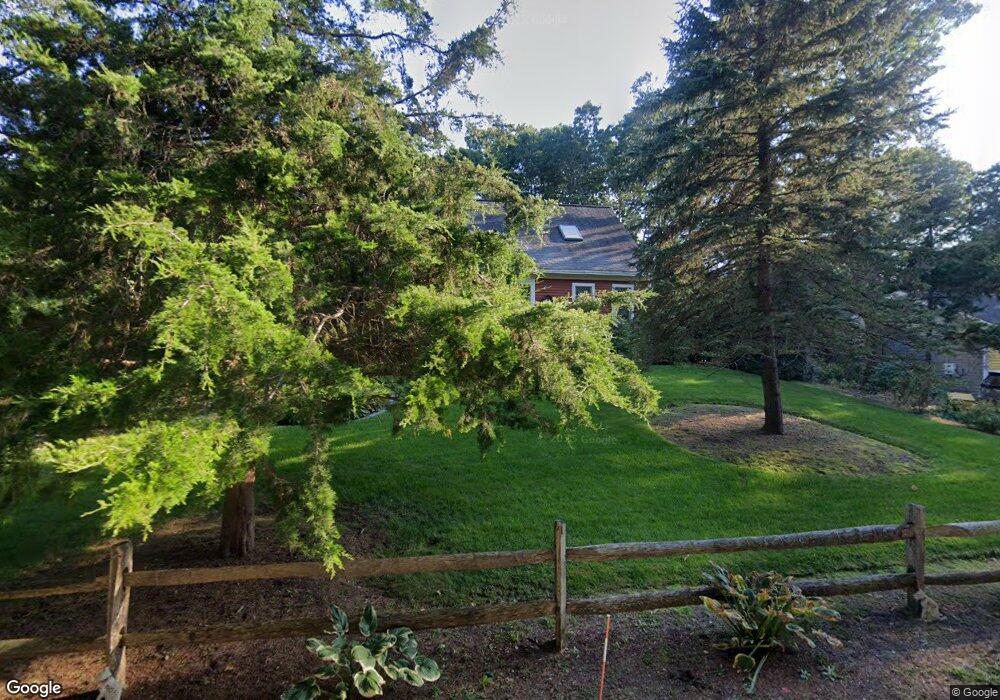
4 Nohono Rd Mashpee, MA 02649
Estimated Value: $620,048 - $669,000
4
Beds
3
Baths
1,547
Sq Ft
$417/Sq Ft
Est. Value
About This Home
This home is located at 4 Nohono Rd, Mashpee, MA 02649 and is currently estimated at $645,512, approximately $417 per square foot. 4 Nohono Rd is a home located in Barnstable County with nearby schools including Kenneth C. Coombs School, Quashnet School, and Mashpee Middle School.
Ownership History
Date
Name
Owned For
Owner Type
Purchase Details
Closed on
Jun 25, 2015
Sold by
Feldmann Linda M and Shields Thomas A
Bought by
Valente Benedict A and Valente Linda M
Current Estimated Value
Purchase Details
Closed on
Sep 9, 1991
Sold by
Lee Elizabeth A
Bought by
Feldmann Linda M and Shields Thomas A
Home Financials for this Owner
Home Financials are based on the most recent Mortgage that was taken out on this home.
Original Mortgage
$88,000
Interest Rate
9.43%
Mortgage Type
Purchase Money Mortgage
Create a Home Valuation Report for This Property
The Home Valuation Report is an in-depth analysis detailing your home's value as well as a comparison with similar homes in the area
Home Values in the Area
Average Home Value in this Area
Purchase History
| Date | Buyer | Sale Price | Title Company |
|---|---|---|---|
| Valente Benedict A | -- | -- | |
| Feldmann Linda M | $113,250 | -- |
Source: Public Records
Mortgage History
| Date | Status | Borrower | Loan Amount |
|---|---|---|---|
| Previous Owner | Feldmann Linda M | $88,000 |
Source: Public Records
Tax History Compared to Growth
Tax History
| Year | Tax Paid | Tax Assessment Tax Assessment Total Assessment is a certain percentage of the fair market value that is determined by local assessors to be the total taxable value of land and additions on the property. | Land | Improvement |
|---|---|---|---|---|
| 2025 | $3,454 | $521,800 | $205,600 | $316,200 |
| 2024 | $3,119 | $485,100 | $186,900 | $298,200 |
| 2023 | $2,943 | $419,800 | $178,000 | $241,800 |
| 2022 | $2,800 | $342,700 | $144,700 | $198,000 |
| 2021 | $2,755 | $303,800 | $130,300 | $173,500 |
| 2020 | $2,659 | $292,500 | $125,400 | $167,100 |
| 2019 | $2,539 | $280,500 | $125,400 | $155,100 |
| 2018 | $2,421 | $271,400 | $125,400 | $146,000 |
| 2017 | $2,355 | $256,300 | $125,400 | $130,900 |
| 2016 | $2,284 | $247,200 | $125,400 | $121,800 |
| 2015 | $2,206 | $242,200 | $125,400 | $116,800 |
| 2014 | $2,080 | $221,500 | $106,300 | $115,200 |
Source: Public Records
Map
Nearby Homes
- 44 Twin Oaks Dr
- 44 Twin Oaks Dr Unit 44
- 116 Grey Hawk Dr Unit 116
- 116 Grey Hawk Dr
- 152 Algonquin Ave
- 20 Twin Oaks Dr Unit 20
- 20 Twin Oaks Dr
- 54 Sassacus Rd
- 18 Stony Brook Dr
- 18 Stony Brook Dr Unit 18
- 23 Sea Spray Ave Unit 563
- 23 Sea Spray Ave
- 72 Grey Hawk Dr Unit 670
- 72 Grey Hawk Dr
- 17 Chadwick Ct Unit 17
- 17 Chadwick Ct
- 115 Leisure Green Dr N
- 115 Leisure Green Dr
- 22 Grey Hawk Dr
- 300 Nathan Ellis Hwy Unit 50