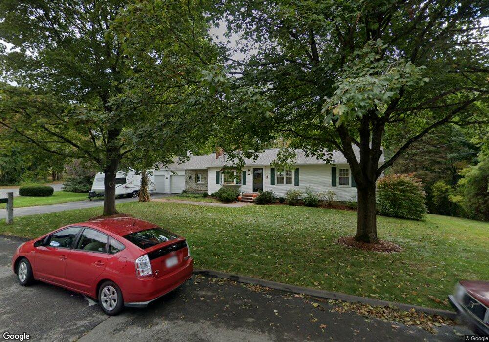
4 Parkdale Ave Leominster, MA 01453
Estimated Value: $498,000 - $612,000
3
Beds
3
Baths
1,632
Sq Ft
$327/Sq Ft
Est. Value
About This Home
This home is located at 4 Parkdale Ave, Leominster, MA 01453 and is currently estimated at $533,252, approximately $326 per square foot. 4 Parkdale Ave is a home located in Worcester County with nearby schools including Leominster High School, St. Leo School, and St. Anna Catholic School.
Ownership History
Date
Name
Owned For
Owner Type
Purchase Details
Closed on
Apr 20, 2004
Sold by
Defilippo Charles P and Defilippo Mary Agnes
Bought by
Desbouvrie Dianne R and Desbouvrie Kenneth
Current Estimated Value
Home Financials for this Owner
Home Financials are based on the most recent Mortgage that was taken out on this home.
Original Mortgage
$135,000
Outstanding Balance
$62,695
Interest Rate
5.58%
Mortgage Type
Purchase Money Mortgage
Estimated Equity
$470,557
Create a Home Valuation Report for This Property
The Home Valuation Report is an in-depth analysis detailing your home's value as well as a comparison with similar homes in the area
Home Values in the Area
Average Home Value in this Area
Purchase History
| Date | Buyer | Sale Price | Title Company |
|---|---|---|---|
| Desbouvrie Dianne R | $293,000 | -- |
Source: Public Records
Mortgage History
| Date | Status | Borrower | Loan Amount |
|---|---|---|---|
| Open | Desbouvrie Dianne R | $135,000 |
Source: Public Records
Tax History Compared to Growth
Tax History
| Year | Tax Paid | Tax Assessment Tax Assessment Total Assessment is a certain percentage of the fair market value that is determined by local assessors to be the total taxable value of land and additions on the property. | Land | Improvement |
|---|---|---|---|---|
| 2025 | $6,103 | $435,000 | $147,700 | $287,300 |
| 2024 | $5,877 | $405,000 | $140,600 | $264,400 |
| 2023 | $5,829 | $375,100 | $122,400 | $252,700 |
| 2022 | $5,486 | $338,200 | $106,400 | $231,800 |
| 2021 | $5,486 | $302,600 | $83,000 | $219,600 |
| 2020 | $5,301 | $294,800 | $83,000 | $211,800 |
| 2019 | $4,653 | $273,500 | $79,000 | $194,500 |
| 2018 | $4,947 | $255,900 | $76,700 | $179,200 |
| 2017 | $4,158 | $235,400 | $71,600 | $163,800 |
| 2016 | $4,458 | $227,700 | $71,600 | $156,100 |
| 2015 | $4,240 | $218,100 | $71,600 | $146,500 |
| 2014 | $3,920 | $207,500 | $76,500 | $131,000 |
Source: Public Records
Map
Nearby Homes
- 16 Parkdale Ave
- 36 Ridgewood Dr
- 8 Ridgewood Cir
- 37 Ridgewood Dr
- 265 Harvard St
- 28 Parkdale Ave
- 273 Harvard St
- 249 Harvard St
- 7 White St
- 50 Ridgewood Dr
- 25 White St
- 27 Parkdale Ave
- 44 Parkdale Ave
- 67 Ridgewood Dr
- 22 Ridgewood Cir
- 23 Ridgewood Cir
- 276 Harvard St
- 264 Harvard St
- 231 Harvard St
- 26 Ridgewood Cir