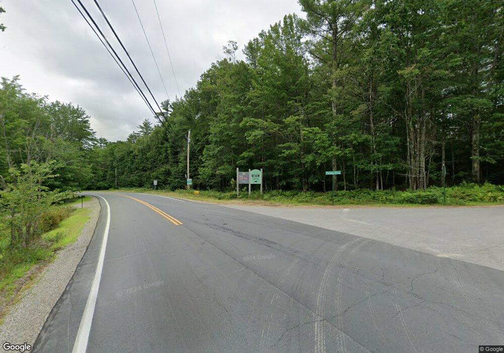
4 Parsons Hill Rd Strafford, NH 03884
Estimated Value: $496,000 - $682,000
3
Beds
2
Baths
2,668
Sq Ft
$213/Sq Ft
Est. Value
About This Home
This home is located at 4 Parsons Hill Rd, Strafford, NH 03884 and is currently estimated at $569,538, approximately $213 per square foot. 4 Parsons Hill Rd is a home with nearby schools including Strafford School and Coe-Brown Northwood Academy.
Ownership History
Date
Name
Owned For
Owner Type
Purchase Details
Closed on
Aug 15, 2018
Sold by
Almanzan Eric A
Bought by
Woodbury Shawn and Fraser Samantha
Current Estimated Value
Purchase Details
Closed on
Jan 17, 2018
Sold by
Almanzan Eric A
Bought by
Almanzan Eric A and Almanzan Jessica L
Purchase Details
Closed on
Jul 20, 2017
Sold by
Montross Mark E and Montross Susan G
Bought by
Almanzan Eric A
Purchase Details
Closed on
Jun 21, 1990
Bought by
Montross Mark E and Montross Susan G
Create a Home Valuation Report for This Property
The Home Valuation Report is an in-depth analysis detailing your home's value as well as a comparison with similar homes in the area
Home Values in the Area
Average Home Value in this Area
Purchase History
| Date | Buyer | Sale Price | Title Company |
|---|---|---|---|
| Woodbury Shawn | $70,000 | -- | |
| Almanzan Eric A | -- | -- | |
| Almanzan Eric A | -- | -- | |
| Montross Mark E | $126,300 | -- |
Source: Public Records
Mortgage History
| Date | Status | Borrower | Loan Amount |
|---|---|---|---|
| Previous Owner | Montross Mark E | $80,500 |
Source: Public Records
Tax History Compared to Growth
Tax History
| Year | Tax Paid | Tax Assessment Tax Assessment Total Assessment is a certain percentage of the fair market value that is determined by local assessors to be the total taxable value of land and additions on the property. | Land | Improvement |
|---|---|---|---|---|
| 2024 | $6,541 | $331,000 | $66,500 | $264,500 |
| 2023 | $6,170 | $331,000 | $66,500 | $264,500 |
| 2022 | $5,675 | $331,300 | $66,800 | $264,500 |
| 2021 | $6,147 | $333,000 | $66,900 | $266,100 |
| 2020 | $5,210 | $203,100 | $60,000 | $143,100 |
| 2019 | $4,767 | $203,100 | $60,000 | $143,100 |
Source: Public Records
Map
Nearby Homes
- 152 Evans Rd
- 572 S Barnstead Rd
- 1760 Province Rd
- 85 Province Rd
- 11 Gray Rd
- L68-2 Vail Rd
- L68-1 Vail Rd
- 38 Chapelle Rd
- 109 Vail Rd
- R11 07 Clough Rd
- 4 Sandy Point Rd
- 77 Vail Rd
- 109 Shackford Corner Rd
- 277 Shackford Corner Rd
- 1226 First Crown Point Rd
- 25 Vail Rd
- Map 102 Lot 9 Kramas Ln
- 449 Tilton Hill Rd
- M2-l29-2 Province Rd
- 956 N Barnstead Rd
- 51 Parker Mountain Rd
- 69 Parker Mountain Rd
- 46 Parker Mountain Rd
- 7 Extension Rd
- 35 Parker Mountain Rd
- 34 Parker Mountain Rd
- 0 Mill Rd Unit 4148464
- 12 Mill Rd
- 30 Mill Rd
- 29 Parker Mountain Rd
- 38 Parsons Hill Rd
- 22 Parker Mountain Rd
- 19 Parker Mountain Rd
- 19 Parker Mountain Rd
- 19 Parker Mountain Rd
- 22 Extension Rd
- 29 Parsons Hill Rd
- 44 Mill Rd
- 17 Parker Mountain Rd
- 17 Parker Mountain Rd (Rte126)
