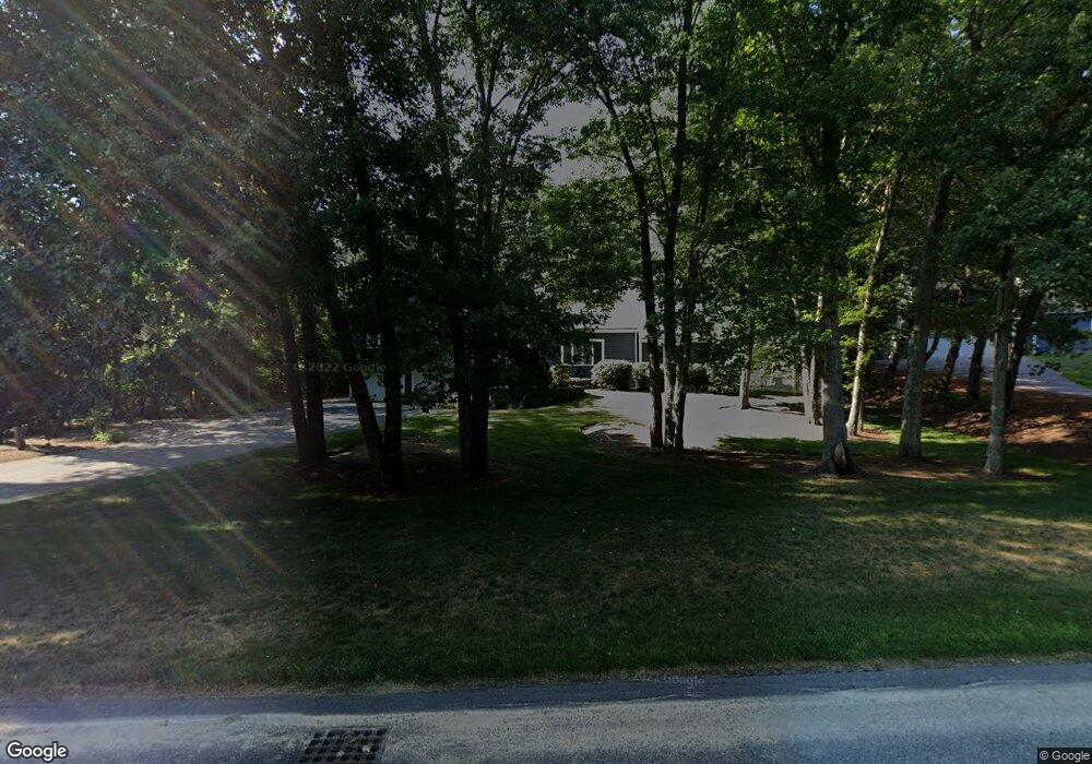
4 Parsons Way Natick, MA 01760
Estimated Value: $1,374,317 - $1,661,000
4
Beds
4
Baths
2,199
Sq Ft
$689/Sq Ft
Est. Value
About This Home
This home is located at 4 Parsons Way, Natick, MA 01760 and is currently estimated at $1,516,079, approximately $689 per square foot. 4 Parsons Way is a home located in Middlesex County with nearby schools including Natick High School, Memorial Elementary School, and J F Kennedy Middle School.
Ownership History
Date
Name
Owned For
Owner Type
Purchase Details
Closed on
Dec 4, 2002
Sold by
Weiner Alexandra W
Bought by
Frey Michael J and Frey Ilyssa
Current Estimated Value
Home Financials for this Owner
Home Financials are based on the most recent Mortgage that was taken out on this home.
Original Mortgage
$386,000
Outstanding Balance
$166,997
Interest Rate
6.34%
Mortgage Type
Purchase Money Mortgage
Estimated Equity
$1,349,082
Create a Home Valuation Report for This Property
The Home Valuation Report is an in-depth analysis detailing your home's value as well as a comparison with similar homes in the area
Home Values in the Area
Average Home Value in this Area
Purchase History
| Date | Buyer | Sale Price | Title Company |
|---|---|---|---|
| Frey Michael J | $795,000 | -- |
Source: Public Records
Mortgage History
| Date | Status | Borrower | Loan Amount |
|---|---|---|---|
| Open | Frey Michael J | $386,000 |
Source: Public Records
Tax History Compared to Growth
Tax History
| Year | Tax Paid | Tax Assessment Tax Assessment Total Assessment is a certain percentage of the fair market value that is determined by local assessors to be the total taxable value of land and additions on the property. | Land | Improvement |
|---|---|---|---|---|
| 2025 | $13,337 | $1,115,100 | $557,700 | $557,400 |
| 2024 | $12,856 | $1,048,600 | $528,400 | $520,200 |
| 2023 | $12,793 | $1,012,100 | $528,400 | $483,700 |
| 2022 | $11,805 | $884,900 | $432,800 | $452,100 |
| 2021 | $9,352 | $826,400 | $410,000 | $416,400 |
| 2020 | $10,187 | $797,800 | $392,900 | $404,900 |
| 2019 | $10,140 | $797,800 | $392,900 | $404,900 |
| 2018 | $10,403 | $797,200 | $376,600 | $420,600 |
| 2017 | $10,641 | $788,800 | $375,700 | $413,100 |
| 2016 | $10,651 | $784,900 | $375,700 | $409,200 |
| 2015 | $10,372 | $750,500 | $375,700 | $374,800 |
Source: Public Records
Map
Nearby Homes
- 2 Parsons Way
- 7 Farm Hill Rd
- 14 Farm Hill Rd
- 5 Parsons Way
- 9 Parsons Way
- 12 Farm Hill Rd
- 10 Farm Hill Rd
- 12 Farm Hill Rd
- 8 Farm Hill Rd
- 7 Parsons Way
- 3 Parsons Way
- 1 Parsons Way
- 7 Badger Ave
- 9 Badger Ave
- 18 Farm Hill Rd
- 18 Farm Hill Rd Unit 1
- 18 Farm Hill Rd Unit 18
- 5 Badger Ave
- 87 Eliot St
- 17 Farm Hill Rd