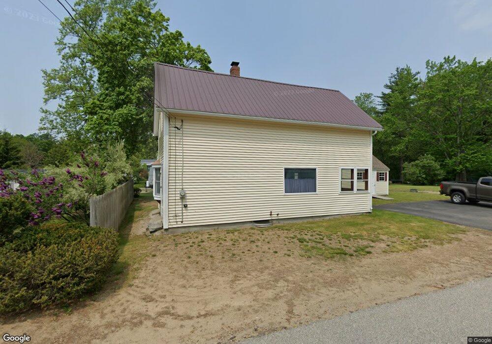
4 Pine St Rollinsford, NH 03869
Estimated Value: $343,469 - $408,000
2
Beds
1
Bath
1,152
Sq Ft
$328/Sq Ft
Est. Value
About This Home
This home is located at 4 Pine St, Rollinsford, NH 03869 and is currently estimated at $378,117, approximately $328 per square foot. 4 Pine St is a home located in Strafford County with nearby schools including Rollinsford Grade School, Berwick Academy, and Seacoast Christian School.
Create a Home Valuation Report for This Property
The Home Valuation Report is an in-depth analysis detailing your home's value as well as a comparison with similar homes in the area
Home Values in the Area
Average Home Value in this Area
Tax History
| Year | Tax Paid | Tax Assessment Tax Assessment Total Assessment is a certain percentage of the fair market value that is determined by local assessors to be the total taxable value of land and additions on the property. | Land | Improvement |
|---|---|---|---|---|
| 2025 | $4,485 | $273,300 | $177,400 | $95,900 |
| 2024 | $4,485 | $273,300 | $177,400 | $95,900 |
| 2023 | $4,203 | $273,300 | $177,400 | $95,900 |
| 2022 | $4,064 | $273,300 | $177,400 | $95,900 |
| 2021 | $3,750 | $153,800 | $94,400 | $59,400 |
| 2020 | $3,796 | $153,800 | $94,400 | $59,400 |
| 2019 | $4,110 | $153,800 | $94,400 | $59,400 |
| 2018 | $3,713 | $153,800 | $94,400 | $59,400 |
| 2016 | $3,304 | $118,100 | $57,200 | $60,900 |
| 2015 | $3,239 | $118,100 | $57,200 | $60,900 |
| 2014 | $3,130 | $118,100 | $57,200 | $60,900 |
| 2013 | $3,175 | $118,100 | $57,200 | $60,900 |
Source: Public Records
Map
Nearby Homes
- 38 Wentworth St
- 24 Spillanes Hill
- 72 Vine St
- 275 Main St
- 14 Berwick Rd
- 10 Portland St
- 47 Union St
- 249 Clement Rd
- 34 Beaver Dam Rd
- 294 Green St
- 11 Country Club Estates Dr Unit 11
- 1 Elizabeth Rd Unit 1
- Lot 6 Emerson Ridge Unit 6
- Lot 1 Emerson Ridge Unit 1
- Lot 2 Emerson Ridge Unit 2
- 226 Oak St
- Lot 3 Enclave Unit 13F-2
- 38 Wisteria Dr
- 25 River St
- 2 Townsend Dr
Your Personal Tour Guide
Ask me questions while you tour the home.