4 Point Rd Gloucester, MA 01930
West Gloucester NeighborhoodEstimated Value: $2,031,000 - $3,019,000
3
Beds
3
Baths
2,352
Sq Ft
$1,096/Sq Ft
Est. Value
About This Home
This home is located at 4 Point Rd, Gloucester, MA 01930 and is currently estimated at $2,578,260, approximately $1,096 per square foot. 4 Point Rd is a home located in Essex County with nearby schools including West Parish, Ralph B O'maley Middle School, and Gloucester High School.
Ownership History
Date
Name
Owned For
Owner Type
Purchase Details
Closed on
Oct 16, 2021
Sold by
Benoit George E
Bought by
Cordima Cheryl and Vozila Paul J
Current Estimated Value
Home Financials for this Owner
Home Financials are based on the most recent Mortgage that was taken out on this home.
Original Mortgage
$1,350,000
Outstanding Balance
$1,220,338
Interest Rate
2.8%
Mortgage Type
Purchase Money Mortgage
Estimated Equity
$1,357,922
Purchase Details
Closed on
Jun 22, 1994
Sold by
Hamilton Milton R and Gloucestar Bk & Tr
Bought by
Benoit George E and Benoit Jeanne E
Home Financials for this Owner
Home Financials are based on the most recent Mortgage that was taken out on this home.
Original Mortgage
$210,000
Interest Rate
8.74%
Mortgage Type
Purchase Money Mortgage
Create a Home Valuation Report for This Property
The Home Valuation Report is an in-depth analysis detailing your home's value as well as a comparison with similar homes in the area
Home Values in the Area
Average Home Value in this Area
Purchase History
| Date | Buyer | Sale Price | Title Company |
|---|---|---|---|
| Cordima Cheryl | $2,350,000 | None Available | |
| Cordima Cheryl | $2,350,000 | None Available | |
| Benoit George E | $361,000 | -- |
Source: Public Records
Mortgage History
| Date | Status | Borrower | Loan Amount |
|---|---|---|---|
| Open | Cordima Cheryl | $1,350,000 | |
| Closed | Cordima Cheryl | $1,350,000 | |
| Previous Owner | Benoit George E | $210,000 | |
| Previous Owner | Benoit George E | $306,000 |
Source: Public Records
Tax History
| Year | Tax Paid | Tax Assessment Tax Assessment Total Assessment is a certain percentage of the fair market value that is determined by local assessors to be the total taxable value of land and additions on the property. | Land | Improvement |
|---|---|---|---|---|
| 2025 | $22,483 | $2,313,100 | $1,505,300 | $807,800 |
| 2024 | $20,729 | $2,130,400 | $1,393,400 | $737,000 |
| 2023 | $15,916 | $1,502,900 | $1,189,000 | $313,900 |
| 2022 | $15,711 | $1,339,400 | $842,300 | $497,100 |
| 2021 | $15,156 | $1,218,300 | $765,400 | $452,900 |
| 2020 | $13,690 | $1,110,300 | $644,500 | $465,800 |
| 2019 | $13,855 | $1,091,800 | $614,500 | $477,300 |
| 2018 | $13,291 | $1,027,900 | $599,500 | $428,400 |
| 2017 | $13,179 | $999,200 | $570,800 | $428,400 |
| 2016 | $12,804 | $940,800 | $546,100 | $394,700 |
| 2015 | $12,315 | $902,200 | $533,700 | $368,500 |
Source: Public Records
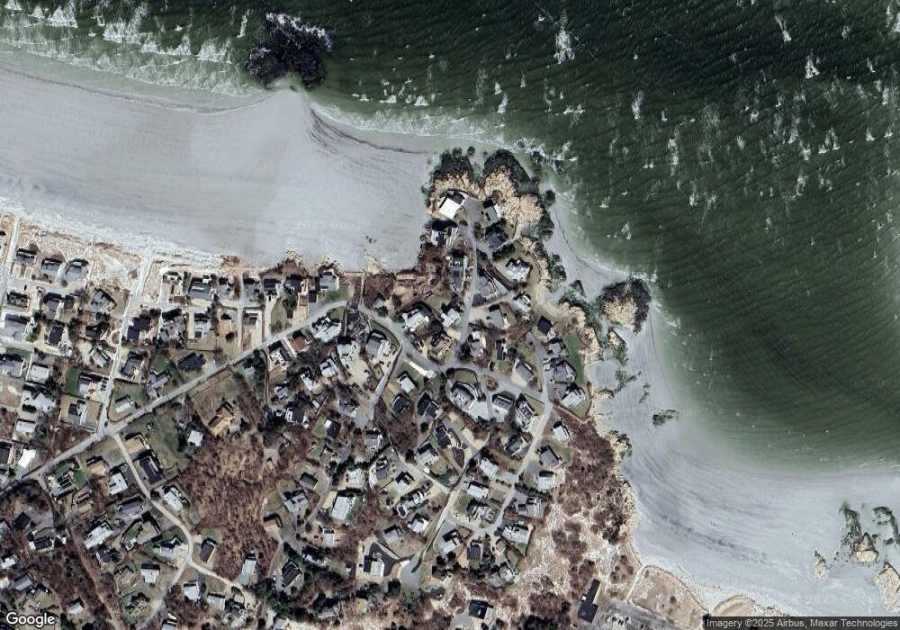
Map
Nearby Homes
- 226 Atlantic St
- 178 Atlantic St
- 167 Atlantic St
- 2 Breezy Point Rd
- 672 Washington St
- 13 Honeysuckle Rd
- 3 Deacon Farm Ln
- 7 Colburn St
- 31 Echo Ave
- 1030 Washington St
- 43 High St Unit B
- 7 Leaman Dr
- 10 Emerald St
- 13 Mystic Ave
- 5 Samoset Rd Unit B
- 8 Mystic Ave
- 6 Monroe Ct
- 98 Maplewood Ave
- 145 Essex Ave Unit 402
- 24 Cobblestone Ln Unit 603
Your Personal Tour Guide
Ask me questions while you tour the home.