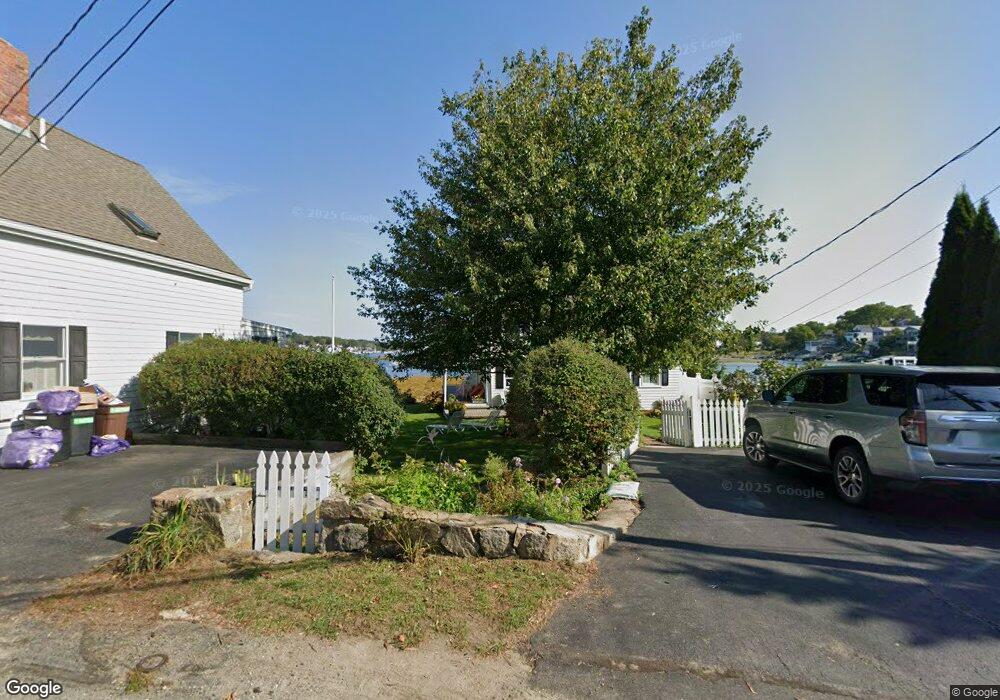
4 Riverside Rd Gloucester, MA 01930
Riverview NeighborhoodEstimated Value: $1,022,000 - $1,683,000
3
Beds
2
Baths
1,768
Sq Ft
$779/Sq Ft
Est. Value
About This Home
This home is located at 4 Riverside Rd, Gloucester, MA 01930 and is currently estimated at $1,377,887, approximately $779 per square foot. 4 Riverside Rd is a home located in Essex County with nearby schools including Beeman Memorial, Ralph B O'maley Middle School, and Gloucester High School.
Ownership History
Date
Name
Owned For
Owner Type
Purchase Details
Closed on
Dec 28, 2021
Sold by
Burns Brenda H and Burns Douglas J
Bought by
Brenda H Burns Ft
Current Estimated Value
Purchase Details
Closed on
Aug 7, 2008
Sold by
Burns Brenda H and Burns Douglas J
Bought by
Burns Brenda H
Purchase Details
Closed on
Apr 4, 1994
Sold by
Flaherty Mary V and Flaherty David
Bought by
Burns Douglas J and Burns Brenda
Home Financials for this Owner
Home Financials are based on the most recent Mortgage that was taken out on this home.
Original Mortgage
$203,000
Interest Rate
7.07%
Mortgage Type
Purchase Money Mortgage
Create a Home Valuation Report for This Property
The Home Valuation Report is an in-depth analysis detailing your home's value as well as a comparison with similar homes in the area
Home Values in the Area
Average Home Value in this Area
Purchase History
| Date | Buyer | Sale Price | Title Company |
|---|---|---|---|
| Brenda H Burns Ft | -- | None Available | |
| Burns Brenda H | -- | -- | |
| Burns Douglas J | $288,000 | -- |
Source: Public Records
Mortgage History
| Date | Status | Borrower | Loan Amount |
|---|---|---|---|
| Previous Owner | Burns Douglas J | $300,000 | |
| Previous Owner | Burns Douglas J | $203,000 | |
| Previous Owner | Burns Douglas J | $115,000 | |
| Previous Owner | Burns Douglas J | $58,000 |
Source: Public Records
Tax History
| Year | Tax Paid | Tax Assessment Tax Assessment Total Assessment is a certain percentage of the fair market value that is determined by local assessors to be the total taxable value of land and additions on the property. | Land | Improvement |
|---|---|---|---|---|
| 2025 | $12,898 | $1,327,000 | $900,700 | $426,300 |
| 2024 | $12,493 | $1,284,000 | $857,700 | $426,300 |
| 2023 | $11,695 | $1,104,300 | $731,900 | $372,400 |
| 2022 | $11,548 | $984,500 | $636,600 | $347,900 |
| 2021 | $11,138 | $895,300 | $578,600 | $316,700 |
| 2020 | $10,998 | $892,000 | $578,600 | $313,400 |
| 2019 | $10,543 | $830,800 | $551,700 | $279,100 |
| 2018 | $10,251 | $792,800 | $538,200 | $254,600 |
| 2017 | $9,947 | $754,100 | $512,700 | $241,400 |
| 2016 | $9,575 | $703,500 | $490,300 | $213,200 |
| 2015 | $9,227 | $676,000 | $479,200 | $196,800 |
Source: Public Records
Map
Nearby Homes
- 2 Breezy Point Rd
- 672 Washington St
- 13 Honeysuckle Rd
- 3 Deacon Farm Ln
- 31 Echo Ave
- 167 Atlantic St
- 178 Atlantic St
- 226 Atlantic St
- 136 Leonard St
- 3 Rockland St
- 13 Mystic Ave
- 8 Mystic Ave
- 6 Monroe Ct
- 4 Ciaramitaro Ct
- 98 Maplewood Ave
- 9 Cleveland Place
- 12 Arthur St
- 40 Sargent St
- 19 Trask St Unit 2
- 15 Harvard St
- 2 Riverside Rd
- 6 Riverside Rd
- 154 Wheeler St
- 145 Wheeler St
- 3 Riverside Rd
- 7 Riverside Rd
- 9 Riverside Rd
- 8 Riverside Rd
- 156 Wheeler St
- 150 Wheeler St
- 13 Riverside Rd
- 143 Wheeler St
- 160 Wheeler St
- 158 Wheeler St
- 10 Riverside Rd
- 162 Wheeler St
- 17 Riverside Rd
- 17 Riverside Rd
- 144 Wheeler St
- 14 Riverside Rd
Your Personal Tour Guide
Ask me questions while you tour the home.