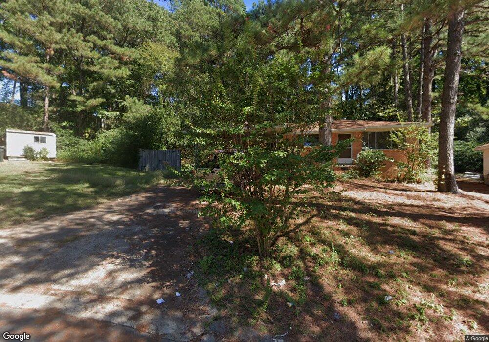
4 Roane Cir Little Rock, AR 72204
Boyle Park NeighborhoodEstimated Value: $113,867 - $162,000
--
Bed
2
Baths
1,463
Sq Ft
$95/Sq Ft
Est. Value
About This Home
This home is located at 4 Roane Cir, Little Rock, AR 72204 and is currently estimated at $138,467, approximately $94 per square foot. 4 Roane Cir is a home located in Pulaski County with nearby schools including Bale Elementary School, J.A. Fair K8 Preparatory School, and Henderson Middle School.
Ownership History
Date
Name
Owned For
Owner Type
Purchase Details
Closed on
Aug 8, 2025
Sold by
Sakevicius Vida and Sakevicius Kestutis
Bought by
Sakevicius Audrius J
Current Estimated Value
Purchase Details
Closed on
Mar 15, 2007
Sold by
Simpson Margaret Ann and Estates Of Kevin Joseph & Dani
Bought by
Sakevicius Vida M and Sakevicius Kestutis
Purchase Details
Closed on
Feb 23, 2006
Sold by
Sakevicius Vida M and Estate Of Gediminas Sakevicius
Bought by
Sakevicius Vida M and Sakevicius Kestutis
Create a Home Valuation Report for This Property
The Home Valuation Report is an in-depth analysis detailing your home's value as well as a comparison with similar homes in the area
Home Values in the Area
Average Home Value in this Area
Purchase History
| Date | Buyer | Sale Price | Title Company |
|---|---|---|---|
| Sakevicius Audrius J | -- | None Listed On Document | |
| Sakevicius Vida M | $21,000 | None Available | |
| Sakevicius Vida M | -- | None Available |
Source: Public Records
Tax History Compared to Growth
Tax History
| Year | Tax Paid | Tax Assessment Tax Assessment Total Assessment is a certain percentage of the fair market value that is determined by local assessors to be the total taxable value of land and additions on the property. | Land | Improvement |
|---|---|---|---|---|
| 2025 | $1,363 | $19,475 | $2,200 | $17,275 |
| 2024 | $1,268 | $19,475 | $2,200 | $17,275 |
| 2023 | $1,268 | $19,475 | $2,200 | $17,275 |
| 2022 | $1,296 | $19,475 | $2,200 | $17,275 |
| 2021 | $1,185 | $15,090 | $1,420 | $13,670 |
| 2020 | $1,166 | $15,090 | $1,420 | $13,670 |
| 2019 | $1,166 | $15,090 | $1,420 | $13,670 |
| 2018 | $1,166 | $15,090 | $1,420 | $13,670 |
| 2017 | $1,156 | $15,090 | $1,420 | $13,670 |
| 2016 | $1,264 | $16,630 | $2,600 | $14,030 |
| 2015 | $1,166 | $16,630 | $2,600 | $14,030 |
| 2014 | $1,166 | $16,630 | $2,600 | $14,030 |
Source: Public Records
Map
Nearby Homes
- 89 Broadmoor Dr
- 11 Barbara Cir
- 77 Broadmoor Dr
- 30 Berkshire Dr
- 000 Sage Meadows
- 45 Belmont Dr
- 1718 Leander Dr
- 19 Belmont Dr
- 17 Woodcliff Cir
- 1407 S Cleveland St
- 16 Woodcliff Cir
- 9 Rosemont Dr
- 1717 S Grant St
- 00 W Maryland Ave
- 00 Boulevard
- 46 Lakeshore Dr
- 1804 S Buchanan St
- 6500 W 12th St
- 6911 Talmage Dr
- 1505 Hendrix Ave