4 Round Pond Rd Westport, CT 06880
Compo NeighborhoodEstimated Value: $2,731,000 - $5,501,000
4
Beds
4
Baths
5,201
Sq Ft
$808/Sq Ft
Est. Value
About This Home
This home is located at 4 Round Pond Rd, Westport, CT 06880 and is currently estimated at $4,204,382, approximately $808 per square foot. 4 Round Pond Rd is a home located in Fairfield County with nearby schools including Green's Farms School, Bedford Middle School, and Staples High School.
Ownership History
Date
Name
Owned For
Owner Type
Purchase Details
Closed on
Nov 18, 2015
Sold by
Steffen Mark W and Steffen Elizabeth B
Bought by
Steffen Elizabeth B
Current Estimated Value
Purchase Details
Closed on
May 28, 1993
Sold by
Beck Robert and Beck Marilyn
Bought by
Steffen Mark and Steffen Elizabeth
Home Financials for this Owner
Home Financials are based on the most recent Mortgage that was taken out on this home.
Original Mortgage
$400,000
Interest Rate
7.41%
Mortgage Type
Unknown
Create a Home Valuation Report for This Property
The Home Valuation Report is an in-depth analysis detailing your home's value as well as a comparison with similar homes in the area
Home Values in the Area
Average Home Value in this Area
Purchase History
| Date | Buyer | Sale Price | Title Company |
|---|---|---|---|
| Steffen Elizabeth B | -- | -- | |
| Steffen Elizabeth B | -- | -- | |
| Steffen Mark | $625,000 | -- | |
| Steffen Mark | $625,000 | -- |
Source: Public Records
Mortgage History
| Date | Status | Borrower | Loan Amount |
|---|---|---|---|
| Previous Owner | Steffen Mark | $350,000 | |
| Previous Owner | Steffen Mark | $235,000 | |
| Previous Owner | Steffen Mark | $400,000 |
Source: Public Records
Tax History Compared to Growth
Tax History
| Year | Tax Paid | Tax Assessment Tax Assessment Total Assessment is a certain percentage of the fair market value that is determined by local assessors to be the total taxable value of land and additions on the property. | Land | Improvement |
|---|---|---|---|---|
| 2025 | $33,556 | $1,779,200 | $667,900 | $1,111,300 |
| 2024 | $25,684 | $1,379,400 | $667,900 | $711,500 |
| 2023 | $23,916 | $1,303,300 | $667,900 | $635,400 |
| 2022 | $26,370 | $1,459,300 | $667,900 | $791,400 |
| 2021 | $10,138 | $1,459,300 | $667,900 | $791,400 |
| 2020 | $25,710 | $1,538,600 | $673,800 | $864,800 |
| 2019 | $25,941 | $1,538,600 | $673,800 | $864,800 |
| 2018 | $9,721 | $1,538,600 | $673,800 | $864,800 |
| 2017 | $25,941 | $1,538,600 | $673,800 | $864,800 |
| 2016 | $21,313 | $1,264,100 | $673,800 | $590,300 |
| 2015 | $20,729 | $1,145,900 | $590,100 | $555,800 |
| 2014 | $20,557 | $1,145,900 | $590,100 | $555,800 |
Source: Public Records
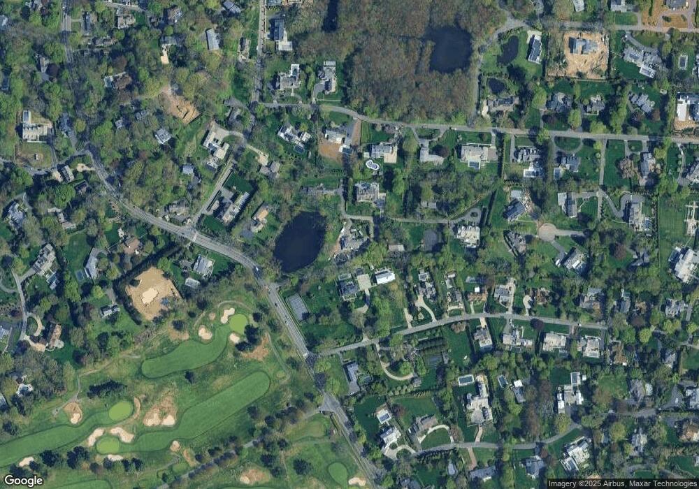
Map
Nearby Homes
- 24 Compo Pkwy
- 39 Compo Pkwy
- 33 Burnham Hill
- 5 Hidden Hill Rd
- 11 Manitou Ct
- 115 Valley Rd
- 11 Sterling Dr
- 14 Owenoke Park
- 171 & 169 Compo Rd S
- 171 Compo Rd S
- 23 Bridge St
- 216 Hillspoint Rd
- 6 Stony Point Rd
- 260 Hillspoint Rd
- 32 Edgewater Hillside
- 5 Franklin Ave
- 48 Compo Mill Cove
- 29 Guyer Rd
- 46 Compo Mill Cove
- 46 Compo Mill Cove
- 5 Round Pond Rd
- 3 Compo Pkwy
- 247 Compo Rd S
- 5 Compo Pkwy
- 7 Round Pond Rd
- 37 Narrow Rocks Rd
- 3 Round Pond Rd
- 4 Mayflower Pkwy
- 2 Mayflower Pkwy
- 7 Compo Pkwy
- 244 Compo Rd S
- 35 Narrow Rocks Rd
- 2 Compo Pkwy
- 9 Round Pond Rd
- 9 Compo Pkwy
- 8 Mayflower Pkwy
- 36 Narrow Rocks Rd
- 12 Mayflower Pkwy
- 263 Compo Rd S
- 38 Narrow Rocks Rd