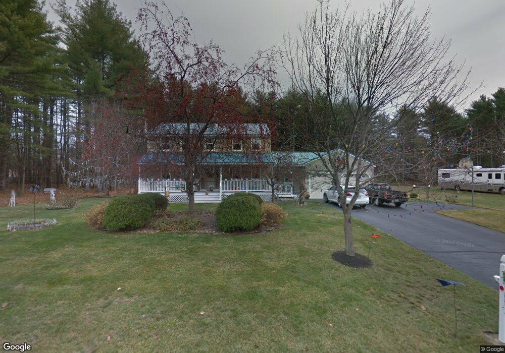
4 S Branch Dr Gorham, ME 04038
Estimated Value: $423,000 - $654,000
4
Beds
2
Baths
2,028
Sq Ft
$280/Sq Ft
Est. Value
About This Home
This home is located at 4 S Branch Dr, Gorham, ME 04038 and is currently estimated at $568,274, approximately $280 per square foot. 4 S Branch Dr is a home with nearby schools including Narragansett Elementary School, Gorham Middle School, and Gorham High School.
Create a Home Valuation Report for This Property
The Home Valuation Report is an in-depth analysis detailing your home's value as well as a comparison with similar homes in the area
Home Values in the Area
Average Home Value in this Area
Tax History
| Year | Tax Paid | Tax Assessment Tax Assessment Total Assessment is a certain percentage of the fair market value that is determined by local assessors to be the total taxable value of land and additions on the property. | Land | Improvement |
|---|---|---|---|---|
| 2025 | $6,481 | $437,900 | $90,200 | $347,700 |
| 2024 | $6,437 | $437,900 | $90,200 | $347,700 |
| 2023 | $6,021 | $437,900 | $90,200 | $347,700 |
| 2022 | $5,627 | $437,900 | $90,200 | $347,700 |
| 2021 | $4,683 | $241,400 | $69,500 | $171,900 |
| 2020 | $4,587 | $241,400 | $69,500 | $171,900 |
| 2019 | $3,689 | $241,400 | $69,500 | $171,900 |
| 2018 | $4,393 | $241,400 | $69,500 | $171,900 |
| 2017 | $3,497 | $241,400 | $69,500 | $171,900 |
| 2016 | $4,106 | $241,500 | $69,600 | $171,900 |
| 2015 | $3,936 | $241,500 | $69,600 | $171,900 |
| 2014 | $3,899 | $224,100 | $68,400 | $155,700 |
| 2013 | $3,877 | $224,100 | $68,400 | $155,700 |
Source: Public Records
Map
Nearby Homes
- 3 S Branch Dr
- 64 Maple Dr
- 4 Small Pond Rd
- 14 David Dr
- 12 Maple Dr
- 5 Forest Cir
- 213 Burnham Rd
- 00 Deering Dr
- 3 Dunn Estates Dr
- 10 Cowbell Dr
- lot 2 Meserve Farm Rd
- 4 Meserve Farm Rd
- Lot 72 Martell Way
- 8 Peaceful Ln
- 17 Boreal Dr
- 30 Boreal Dr
- 3 Trapper John Rd
- 0 Waterman
- 16 Thistle Dr Unit C
- 9 Johnson Farm Rd
Your Personal Tour Guide
Ask me questions while you tour the home.