4 Salti Way Nantucket, MA 02554
Estimated Value: $3,931,000 - $5,646,438
4
Beds
3
Baths
3,512
Sq Ft
$1,409/Sq Ft
Est. Value
About This Home
This home is located at 4 Salti Way, Nantucket, MA 02554 and is currently estimated at $4,950,110, approximately $1,409 per square foot. 4 Salti Way is a home located in Nantucket County with nearby schools including Nantucket Elementary School, Cyrus Peirce Middle School, and Nantucket High School.
Ownership History
Date
Name
Owned For
Owner Type
Purchase Details
Closed on
Oct 26, 2020
Sold by
Frist William H
Bought by
4 Salti Way T
Current Estimated Value
Purchase Details
Closed on
Oct 3, 2020
Sold by
Olear Edward
Bought by
Frist William H
Purchase Details
Closed on
Sep 23, 2020
Sold by
Cottage Vent Partnership
Bought by
Frist William H and Olear Edward
Purchase Details
Closed on
Oct 16, 1984
Bought by
Ptnshp Cottage Ventures
Create a Home Valuation Report for This Property
The Home Valuation Report is an in-depth analysis detailing your home's value as well as a comparison with similar homes in the area
Home Values in the Area
Average Home Value in this Area
Purchase History
| Date | Buyer | Sale Price | Title Company |
|---|---|---|---|
| 4 Salti Way T | -- | None Available | |
| Frist William H | $1,194,950 | None Available | |
| Frist William H | -- | None Available | |
| Ptnshp Cottage Ventures | $130,000 | -- |
Source: Public Records
Mortgage History
| Date | Status | Borrower | Loan Amount |
|---|---|---|---|
| Previous Owner | Ptnshp Cottage Ventures | $639,000 |
Source: Public Records
Tax History
| Year | Tax Paid | Tax Assessment Tax Assessment Total Assessment is a certain percentage of the fair market value that is determined by local assessors to be the total taxable value of land and additions on the property. | Land | Improvement |
|---|---|---|---|---|
| 2025 | $12,088 | $3,685,400 | $1,797,700 | $1,887,700 |
| 2024 | $11,940 | $3,814,800 | $1,954,000 | $1,860,800 |
| 2023 | $9,895 | $3,082,500 | $1,713,600 | $1,368,900 |
| 2022 | $80 | $2,138,500 | $1,119,800 | $1,018,700 |
| 2021 | $8,058 | $2,219,800 | $1,244,200 | $975,600 |
| 2020 | $7,836 | $2,271,300 | $1,244,200 | $1,027,100 |
| 2019 | $7,606 | $2,263,800 | $1,236,700 | $1,027,100 |
| 2018 | $8,351 | $2,365,800 | $1,409,900 | $955,900 |
| 2017 | $7,930 | $2,339,100 | $1,409,900 | $929,200 |
| 2016 | $7,604 | $2,263,000 | $1,360,400 | $902,600 |
| 2015 | $7,410 | $2,052,700 | $1,193,700 | $859,000 |
| 2014 | $7,649 | $2,034,200 | $1,175,200 | $859,000 |
Source: Public Records
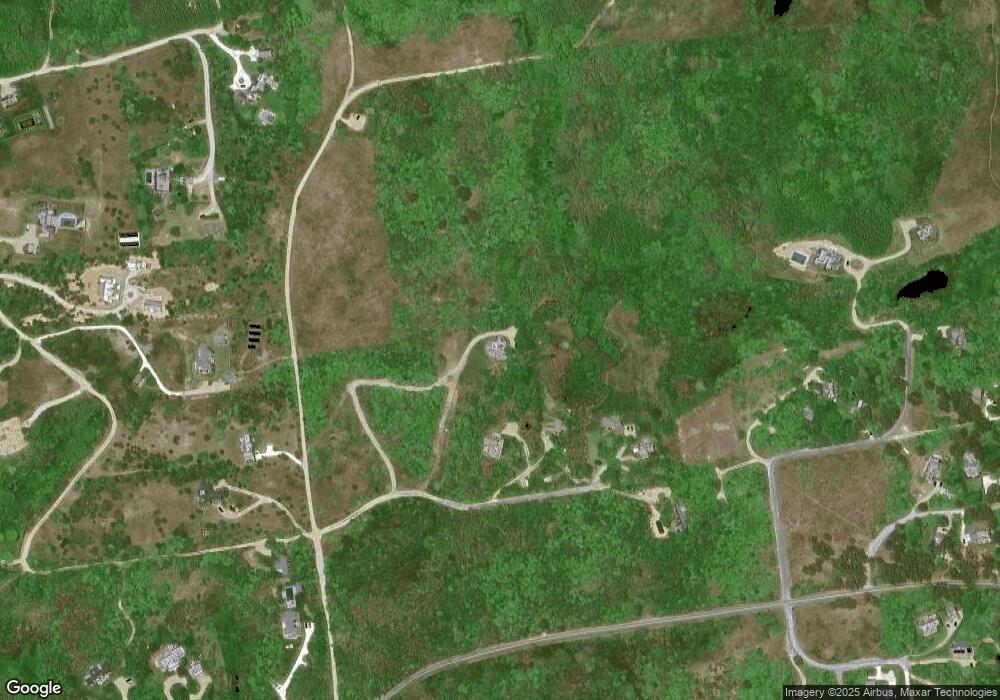
Map
Nearby Homes
- 21 Quidnet Rd
- 33 Pocomo Rd
- 247 Polpis Rd
- 83 Baxter Rd
- 44 Sankaty Rd
- 8 Sconset Ave
- 27 Longwood Dr
- 25 N Pasture Ln
- 20 Lyons Ln
- 12 Ipswich St
- 24 Flintlock Rd
- 31 Flintlock Rd
- 4 Berkley St
- 47 Morey Ln
- 7 Moors End Ln
- 40 Low Beach Rd
- 105 Low Beach Rd
- 12 & 13 Shimmo Pond Rd
- 106 Old South Rd Unit 2
- 1 Airport Rd Unit Lot A
- 6 Salti Way
- 2 Salti Way
- 8 Salti Way
- 9 Salti Way
- 8 Maple Ln
- 16 Eat Fire Springs Rd
- 16 Eat Fire Spring Rd
- 14 Eat Fire Springs Rd
- 14 Eat Fire Spring Rd
- 18 Eat Fire Springs Rd
- 18 Eat Fire Spring Rd
- 3 Chase Ln
- 4 Quidnet Rd
- 17 Margarets Way
- 15 Margarets Way
- 2 Hornbeam Rd
- 2 Quidnet Rd
- 4 Poor Richards Way
- 1 Hornbeam Rd
- 10 Eat Fire Spring Rd