4 Sky Farm Ln Sterling, MA 01564
Estimated Value: $716,000 - $894,000
4
Beds
3
Baths
2,921
Sq Ft
$276/Sq Ft
Est. Value
About This Home
This home is located at 4 Sky Farm Ln, Sterling, MA 01564 and is currently estimated at $806,355, approximately $276 per square foot. 4 Sky Farm Ln is a home located in Worcester County with nearby schools including Wachusett Regional High School.
Ownership History
Date
Name
Owned For
Owner Type
Purchase Details
Closed on
Jun 30, 2008
Sold by
Beck Kimberly J and Packard Kimberly J
Bought by
Packard Kimberly J
Current Estimated Value
Home Financials for this Owner
Home Financials are based on the most recent Mortgage that was taken out on this home.
Original Mortgage
$180,000
Outstanding Balance
$116,123
Interest Rate
6.07%
Mortgage Type
Purchase Money Mortgage
Estimated Equity
$690,232
Create a Home Valuation Report for This Property
The Home Valuation Report is an in-depth analysis detailing your home's value as well as a comparison with similar homes in the area
Home Values in the Area
Average Home Value in this Area
Purchase History
| Date | Buyer | Sale Price | Title Company |
|---|---|---|---|
| Packard Kimberly J | -- | -- |
Source: Public Records
Mortgage History
| Date | Status | Borrower | Loan Amount |
|---|---|---|---|
| Open | Packard Kimberly J | $180,000 |
Source: Public Records
Tax History Compared to Growth
Tax History
| Year | Tax Paid | Tax Assessment Tax Assessment Total Assessment is a certain percentage of the fair market value that is determined by local assessors to be the total taxable value of land and additions on the property. | Land | Improvement |
|---|---|---|---|---|
| 2025 | $9,636 | $748,100 | $159,300 | $588,800 |
| 2024 | $9,527 | $715,800 | $154,000 | $561,800 |
| 2023 | $8,694 | $608,000 | $146,100 | $461,900 |
| 2022 | $8,205 | $538,000 | $135,200 | $402,800 |
| 2021 | $8,475 | $513,000 | $132,800 | $380,200 |
| 2020 | $8,842 | $526,000 | $144,800 | $381,200 |
| 2019 | $8,447 | $489,100 | $144,800 | $344,300 |
| 2018 | $7,840 | $447,000 | $133,900 | $313,100 |
| 2017 | $7,223 | $400,600 | $123,000 | $277,600 |
| 2016 | $7,097 | $387,200 | $123,000 | $264,200 |
| 2015 | $6,755 | $390,700 | $132,600 | $258,100 |
| 2014 | $6,496 | $383,700 | $132,600 | $251,100 |
Source: Public Records
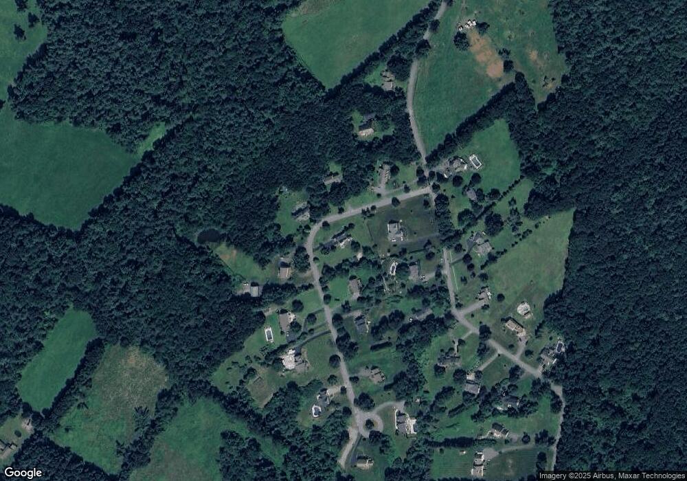
Map
Nearby Homes
- 133 Rowley Hill Rd
- 163 Rowley Hill Rd
- 17 Taft Rd
- 2 Stuart Rd
- 5 Pine Woods Ln
- 41 Meetinghouse Hill Rd
- 58 Heywood Rd
- 19 Hardscrabble Rd
- 25 N Row Rd
- 97 N Row Rd
- 25 North Row
- 5 Leo's Way Unit 1
- 7 Leo's Way Unit 1
- 4 Redstone Hill Rd
- 96 Clinton Rd
- 5 Charles Patten Dr
- 1 Turtle Ln Unit 1
- 6 Ashton Ln
- 3 Village Ln
- 14 Shamrock Way Unit 14