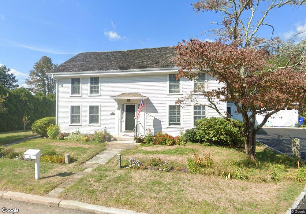
4 Sosoa Ln Westerly, RI 02891
Estimated Value: $1,106,000 - $1,348,000
5
Beds
4
Baths
3,744
Sq Ft
$317/Sq Ft
Est. Value
About This Home
This home is located at 4 Sosoa Ln, Westerly, RI 02891 and is currently estimated at $1,186,837, approximately $316 per square foot. 4 Sosoa Ln is a home located in Washington County with nearby schools including Westerly High School and St. Michael School.
Ownership History
Date
Name
Owned For
Owner Type
Purchase Details
Closed on
Sep 21, 2012
Sold by
Newport Fed Sav Bank
Bought by
Lund Erika L and Lund Christian R
Current Estimated Value
Home Financials for this Owner
Home Financials are based on the most recent Mortgage that was taken out on this home.
Original Mortgage
$479,250
Outstanding Balance
$331,934
Interest Rate
3.59%
Mortgage Type
Purchase Money Mortgage
Estimated Equity
$854,903
Purchase Details
Closed on
Jan 4, 2012
Sold by
Vaillancourt Donna R
Bought by
Newport Fed Sav Bank
Purchase Details
Closed on
Sep 9, 2011
Sold by
Busconi Brian D and Busconi Karolyn W
Bought by
Vaillancourt Donna R
Purchase Details
Closed on
Jul 30, 2004
Sold by
Anderson Helen
Bought by
Vaillancourt Louis and Vaillancourt Donna
Create a Home Valuation Report for This Property
The Home Valuation Report is an in-depth analysis detailing your home's value as well as a comparison with similar homes in the area
Home Values in the Area
Average Home Value in this Area
Purchase History
| Date | Buyer | Sale Price | Title Company |
|---|---|---|---|
| Lund Erika L | $501,000 | -- | |
| Newport Fed Sav Bank | $530,000 | -- | |
| Vaillancourt Donna R | -- | -- | |
| Vaillancourt Louis | $550,000 | -- |
Source: Public Records
Mortgage History
| Date | Status | Borrower | Loan Amount |
|---|---|---|---|
| Open | Vaillancourt Louis | $479,250 | |
| Previous Owner | Vaillancourt Louis | $655,500 | |
| Previous Owner | Vaillancourt Louis | $696,000 |
Source: Public Records
Tax History Compared to Growth
Tax History
| Year | Tax Paid | Tax Assessment Tax Assessment Total Assessment is a certain percentage of the fair market value that is determined by local assessors to be the total taxable value of land and additions on the property. | Land | Improvement |
|---|---|---|---|---|
| 2025 | $7,274 | $934,900 | $228,800 | $706,100 |
| 2024 | $6,971 | $667,100 | $164,000 | $503,100 |
| 2023 | $6,778 | $667,100 | $164,000 | $503,100 |
| 2022 | $6,738 | $667,100 | $164,000 | $503,100 |
| 2021 | $6,827 | $566,100 | $142,800 | $423,300 |
| 2020 | $6,708 | $566,100 | $142,800 | $423,300 |
| 2019 | $6,646 | $566,100 | $142,800 | $423,300 |
| 2018 | $6,007 | $486,400 | $142,800 | $343,600 |
| 2017 | $5,837 | $486,400 | $142,800 | $343,600 |
| 2016 | $5,837 | $486,400 | $142,800 | $343,600 |
| 2015 | $5,623 | $500,700 | $152,400 | $348,300 |
| 2014 | $5,533 | $500,700 | $152,400 | $348,300 |
Source: Public Records
Map
Nearby Homes
- 2 Brass Ring Rd
- 18 Timothy Dr
- 9 Cedar Crest Dr
- 11 Hubbard St
- 3 Riverview Ave
- 5 Jana Rd
- 24 Abbey Ln Unit 13
- 23 Abbey Ln Unit 12
- 22 Summertime Cir
- 23 Summertime Cir
- 45 Summertime Cir
- 14 Summertime Cir
- 38 Summertime Cir
- 16 Summertime Cir
- Monroe Plan at The Enclave at Barn Island
- Lincoln Plan at The Enclave at Barn Island
- Roosevelt Plan at The Enclave at Barn Island
- 7 Spring Pond Rd
- 18 No Bottom Ridge Ridge
- 446 Greenhaven Rd