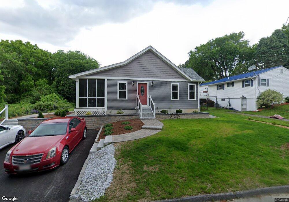
4 Sprague Ln Worcester, MA 01604
Broadmeadow Brook NeighborhoodEstimated Value: $613,000 - $684,734
About This Home
This home is located at 4 Sprague Ln, Worcester, MA 01604 and is currently estimated at $651,684, approximately $339 per square foot. 4 Sprague Ln is a home located in Worcester County with nearby schools including Jacob Hiatt Magnet School, Chandler Magnet, and Rice Square Elementary School.
Ownership History
We collect this data history from publicly available records. To have your information removed, we recommend requesting removal directly through your county’s website.
Purchase Details
Home Values in the Area
Average Home Value in this Area
Purchase History
We collect this data history from publicly available records. To have your information removed, we recommend requesting removal directly through your county’s website.
| Date | Buyer | Sale Price | Title Company |
|---|---|---|---|
| $130,000 | -- |
Tax History
We collect this data history from publicly available records. To have your information removed, we recommend requesting removal directly through your county’s website.
| Year | Tax Paid | Tax Assessment Tax Assessment Total Assessment is a certain percentage of the fair market value that is determined by local assessors to be the total taxable value of land and additions on the property. | Land | Improvement |
|---|---|---|---|---|
| 2025 | $7,604 | $576,500 | $118,800 | $457,700 |
| 2024 | $7,366 | $535,700 | $118,800 | $416,900 |
| 2023 | $7,200 | $502,100 | $103,300 | $398,800 |
| 2022 | $4,029 | $264,900 | $82,700 | $182,200 |
| 2021 | $60 | $219,900 | $66,200 | $153,700 |
| 2020 | $3,432 | $201,900 | $66,100 | $135,800 |
| 2019 | $3,299 | $183,300 | $59,600 | $123,700 |
| 2018 | $64 | $174,800 | $59,600 | $115,200 |
| 2017 | $3,181 | $165,500 | $59,600 | $105,900 |
| 2016 | $3,110 | $150,900 | $44,000 | $106,900 |
| 2015 | $3,029 | $150,900 | $44,000 | $106,900 |
| 2014 | $2,949 | $150,900 | $44,000 | $106,900 |
Map
- 479 Massasoit Rd
- 8 Millbury Terrace
- 7 Miscoe Rd
- 32 Dolly Dr
- 164 Weatherstone Dr
- 11 Weatherstone Dr
- 65 Blithewood Ave
- 37 Dupuis Ave
- 14 Saybrook Rd
- 48 Vincent Cir
- 1260 Grafton St
- 330 Sunderland Rd Unit 7
- 8 Alstead Path
- 259 Massasoit Rd
- 1267 Grafton St
- 15 Primrose St
- 16A Burghardt St
- 3-7 Stidsen Way
- 23 Upton St
- 1205 Grafton St Unit 26B
- 5 Sprague Ln
- 7 Sprague Ln
- 3 Sprague Ln
- 3 Sprague Ln Unit Bmt
- 3 Sprague Ln Unit 3
- 3 Sprague Ln Unit Lower
- 488 Massasoit Rd
- 474 Massasoit Rd
- 1 Sprague Ln
- 490 Massasoit Rd
- 470 Massasoit Rd
- 492 Massasoit Rd
- 496 Massasoit Rd
- 468 Massasoit Rd
- 468 Massasoit Rd Unit First floor
- 468 Massasoit Rd Unit Top floor
- 468 Massasoit Rd Unit Second Floor
- 468 Massasoit Rd Unit 1
- 468 Massasoit Rd Unit 3
- 468 Massasoit Rd Unit 2
Ask me questions while you tour the home.