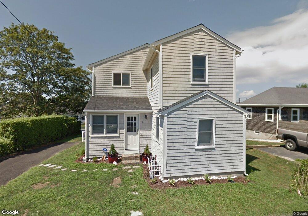
4 Stimpson St Middletown, RI 02842
Estimated Value: $1,460,000 - $1,738,000
2
Beds
1
Bath
930
Sq Ft
$1,728/Sq Ft
Est. Value
About This Home
This home is located at 4 Stimpson St, Middletown, RI 02842 and is currently estimated at $1,606,640, approximately $1,727 per square foot. 4 Stimpson St is a home located in Newport County with nearby schools including Middletown High School, St Michael's Country Day School, and St George's School.
Ownership History
Date
Name
Owned For
Owner Type
Purchase Details
Closed on
Nov 30, 2018
Sold by
Chang David A and Chang Nicole G
Bought by
Flaherty Jennifer L
Current Estimated Value
Home Financials for this Owner
Home Financials are based on the most recent Mortgage that was taken out on this home.
Original Mortgage
$575,000
Outstanding Balance
$504,602
Interest Rate
4.8%
Mortgage Type
Adjustable Rate Mortgage/ARM
Estimated Equity
$1,102,038
Purchase Details
Closed on
Mar 24, 2008
Sold by
Martins Patricia A
Bought by
Chang David and Chang Nicole
Home Financials for this Owner
Home Financials are based on the most recent Mortgage that was taken out on this home.
Original Mortgage
$320,000
Interest Rate
5.75%
Mortgage Type
Purchase Money Mortgage
Create a Home Valuation Report for This Property
The Home Valuation Report is an in-depth analysis detailing your home's value as well as a comparison with similar homes in the area
Home Values in the Area
Average Home Value in this Area
Purchase History
| Date | Buyer | Sale Price | Title Company |
|---|---|---|---|
| Flaherty Jennifer L | $825,000 | -- | |
| Chang David | $400,000 | -- |
Source: Public Records
Mortgage History
| Date | Status | Borrower | Loan Amount |
|---|---|---|---|
| Open | Flaherty Jennifer L | $575,000 | |
| Previous Owner | Chang David | $223,700 | |
| Previous Owner | Chang David | $265,600 | |
| Previous Owner | Chang David | $320,000 |
Source: Public Records
Tax History Compared to Growth
Tax History
| Year | Tax Paid | Tax Assessment Tax Assessment Total Assessment is a certain percentage of the fair market value that is determined by local assessors to be the total taxable value of land and additions on the property. | Land | Improvement |
|---|---|---|---|---|
| 2025 | $14,793 | $1,254,700 | $840,600 | $414,100 |
| 2024 | $14,128 | $1,254,700 | $840,600 | $414,100 |
| 2023 | $9,806 | $778,900 | $494,800 | $284,100 |
| 2022 | $9,362 | $778,900 | $494,800 | $284,100 |
| 2021 | $9,362 | $778,900 | $494,800 | $284,100 |
| 2020 | $8,418 | $611,800 | $413,700 | $198,100 |
| 2018 | $8,412 | $611,800 | $413,700 | $198,100 |
| 2016 | $7,352 | $476,800 | $295,000 | $181,800 |
| 2015 | $7,114 | $473,000 | $295,000 | $178,000 |
| 2014 | $7,730 | $481,000 | $282,100 | $198,900 |
| 2013 | $7,557 | $481,000 | $282,100 | $198,900 |
Source: Public Records
Map
Nearby Homes
- 140 Tuckerman Ave
- 4 James St
- 84 Allston Ave
- 162 Center Ave
- 65 Seascape Ave
- 118 Wolcott Ave
- 202 Reservoir Rd
- 0 Wolcott Ave
- 129 Bliss Mine Rd
- 78 Ellery Rd
- 141 Gray Craig Rd
- 128 Eustis Ave
- 10 Ocean Lawn Ln
- 55 John Clarke Rd Unit 8
- 55 John Clarke Rd Unit 3
- 36 Kay Blvd
- 55 Hunter Ave
- 5 Lowndes St
- 103 Champlin Place N
- 8 Champlin St