4 Stratton Dr Shrewsbury, MA 01545
Estimated Value: $501,000 - $563,000
2
Beds
2
Baths
1,306
Sq Ft
$409/Sq Ft
Est. Value
About This Home
This home is located at 4 Stratton Dr, Shrewsbury, MA 01545 and is currently estimated at $534,304, approximately $409 per square foot. 4 Stratton Dr is a home located in Worcester County with nearby schools including Walter J. Paton Elementary School, Sherwood Middle School, and Oak Middle School.
Ownership History
Date
Name
Owned For
Owner Type
Purchase Details
Closed on
May 5, 2020
Sold by
Lian Joseph
Bought by
Henderson Cynthia A
Current Estimated Value
Purchase Details
Closed on
Jun 15, 2017
Sold by
Lian Joseph and Lian Lorraine M
Bought by
Lian 3Rd Joseph
Purchase Details
Closed on
Oct 7, 2009
Sold by
Kelly Anita L and Kelly John T
Bought by
Lian Joseph and Lian Lorraine M
Home Financials for this Owner
Home Financials are based on the most recent Mortgage that was taken out on this home.
Original Mortgage
$210,000
Interest Rate
5.14%
Mortgage Type
Purchase Money Mortgage
Purchase Details
Closed on
Nov 7, 1995
Sold by
Westbrook Crossing Lp and Giuliano Michael
Bought by
Kelly John T and Kelly Anita
Create a Home Valuation Report for This Property
The Home Valuation Report is an in-depth analysis detailing your home's value as well as a comparison with similar homes in the area
Home Values in the Area
Average Home Value in this Area
Purchase History
| Date | Buyer | Sale Price | Title Company |
|---|---|---|---|
| Henderson Cynthia A | -- | None Available | |
| Lian 3Rd Joseph | -- | -- | |
| Lian Joseph | $280,000 | -- | |
| Kelly John T | $168,575 | -- |
Source: Public Records
Mortgage History
| Date | Status | Borrower | Loan Amount |
|---|---|---|---|
| Previous Owner | Lian Joseph | $210,000 |
Source: Public Records
Tax History Compared to Growth
Tax History
| Year | Tax Paid | Tax Assessment Tax Assessment Total Assessment is a certain percentage of the fair market value that is determined by local assessors to be the total taxable value of land and additions on the property. | Land | Improvement |
|---|---|---|---|---|
| 2025 | $58 | $479,200 | $0 | $479,200 |
| 2024 | $5,806 | $469,000 | $0 | $469,000 |
| 2023 | $5,510 | $420,000 | $0 | $420,000 |
| 2022 | $4,615 | $327,100 | $0 | $327,100 |
| 2021 | $4,225 | $320,300 | $0 | $320,300 |
| 2020 | $4,177 | $335,000 | $0 | $335,000 |
| 2019 | $4,211 | $335,000 | $0 | $335,000 |
| 2018 | $3,793 | $299,600 | $0 | $299,600 |
| 2017 | $4,310 | $335,900 | $0 | $335,900 |
| 2016 | $3,827 | $294,400 | $0 | $294,400 |
| 2015 | $3,531 | $267,500 | $0 | $267,500 |
Source: Public Records
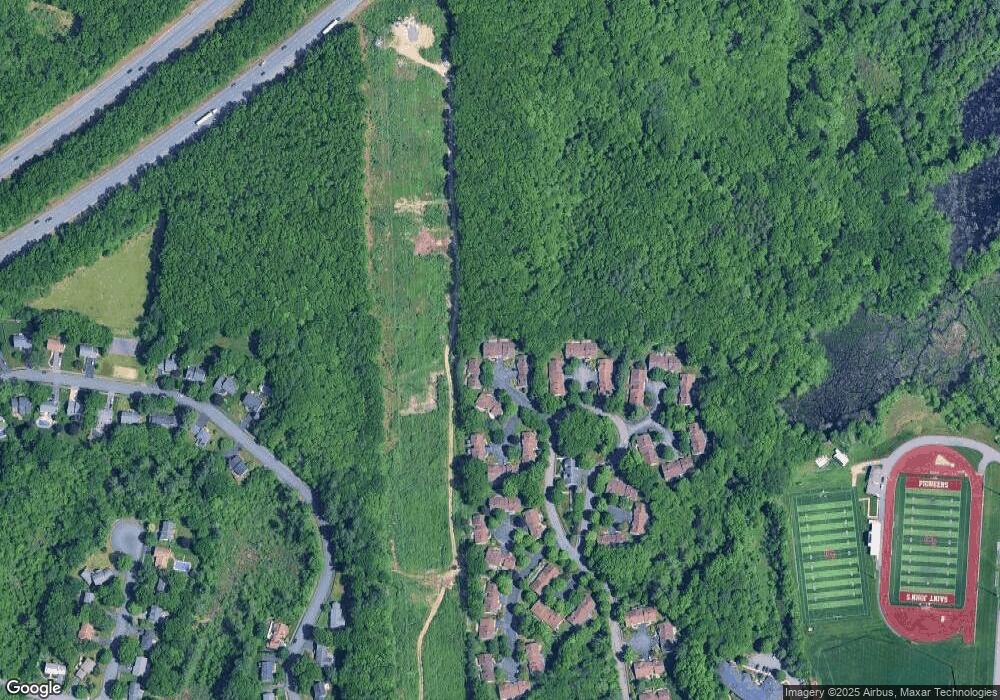
Map
Nearby Homes
- 307 Main St
- 56 Ireta Rd
- 22 Ridge Rd
- 7 Tern Dr
- 129 A-B Maple Ave
- 129A&B Maple Ave
- 15 Eagle Dr
- 21 Fiske St
- 31 Oak St
- 3 Conifer Cir Unit 29
- 15 Conifer Cir Unit 31
- 5 Conifer Cir Unit 28
- 515 Main St
- 40 Phillips Ave
- 46-50 Wesleyan St
- 29 Elma Cir
- 6 Selina St
- 655 Plantation St Unit 17 Bldg B
- 5 Fyrbeck Ave
- 315 Maple Ave