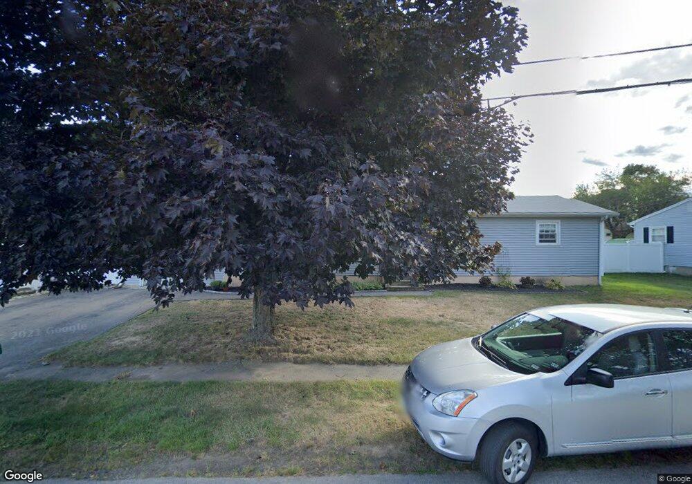
4 Suzanne Dr Portsmouth, NH 03801
Estimated Value: $621,000 - $900,000
3
Beds
2
Baths
1,732
Sq Ft
$415/Sq Ft
Est. Value
About This Home
This home is located at 4 Suzanne Dr, Portsmouth, NH 03801 and is currently estimated at $718,023, approximately $414 per square foot. 4 Suzanne Dr is a home located in Rockingham County with nearby schools including Mary C. Dondero Elementary School, Portsmouth Middle School, and Portsmouth High School.
Ownership History
Date
Name
Owned For
Owner Type
Purchase Details
Closed on
Aug 22, 2019
Sold by
Conway John L and Conway Karen J
Bought by
Conway Ft
Current Estimated Value
Purchase Details
Closed on
Jun 30, 1988
Bought by
Conway John L and Conway Karen J
Create a Home Valuation Report for This Property
The Home Valuation Report is an in-depth analysis detailing your home's value as well as a comparison with similar homes in the area
Home Values in the Area
Average Home Value in this Area
Purchase History
| Date | Buyer | Sale Price | Title Company |
|---|---|---|---|
| Conway Ft | -- | -- | |
| Conway John L | -- | -- |
Source: Public Records
Mortgage History
| Date | Status | Borrower | Loan Amount |
|---|---|---|---|
| Previous Owner | Conway John L | $180,000 | |
| Previous Owner | Conway John L | $40,000 | |
| Previous Owner | Conway John L | $20,000 |
Source: Public Records
Tax History Compared to Growth
Tax History
| Year | Tax Paid | Tax Assessment Tax Assessment Total Assessment is a certain percentage of the fair market value that is determined by local assessors to be the total taxable value of land and additions on the property. | Land | Improvement |
|---|---|---|---|---|
| 2024 | $6,501 | $581,500 | $239,400 | $342,100 |
| 2023 | $5,794 | $359,200 | $135,700 | $223,500 |
| 2022 | $5,460 | $359,200 | $135,700 | $223,500 |
| 2021 | $5,399 | $359,200 | $135,700 | $223,500 |
| 2020 | $5,280 | $359,200 | $135,700 | $223,500 |
| 2019 | $5,308 | $357,200 | $135,700 | $221,500 |
| 2018 | $5,489 | $346,500 | $145,100 | $201,400 |
| 2017 | $5,329 | $346,500 | $145,100 | $201,400 |
| 2016 | $4,807 | $282,100 | $112,300 | $169,800 |
| 2015 | $4,736 | $282,100 | $112,300 | $169,800 |
| 2014 | $4,932 | $272,500 | $122,800 | $149,700 |
| 2013 | $4,880 | $272,500 | $122,800 | $149,700 |
| 2012 | $4,782 | $272,500 | $122,800 | $149,700 |
Source: Public Records
Map
Nearby Homes
- 163 Ocean Rd
- 380 Ocean Rd Unit 9
- 26 Mariette Dr
- 115 Bluefish Blvd
- 103 Bluefish Blvd
- 315 Salmon Ave
- 204 Mackerel Ave
- 445 Ocean Rd Unit 4
- 80 Constitution Ave Unit 225
- 80 Constitution Ave Unit 231
- 80 Constitution Ave Unit 427
- 80 Constitution Ave Unit 321
- 80 Constitution Ave Unit 429
- 80 Constitution Ave Unit 222
- Moffat Plan at Sage Portsmouth
- 80 Constitution Ave Unit 211
- Wadsworth Plan at Sage Portsmouth
- Franklin Plan at Sage Portsmouth
- 80 Constitution Ave Unit 328
- 80 Constitution Ave Unit 306