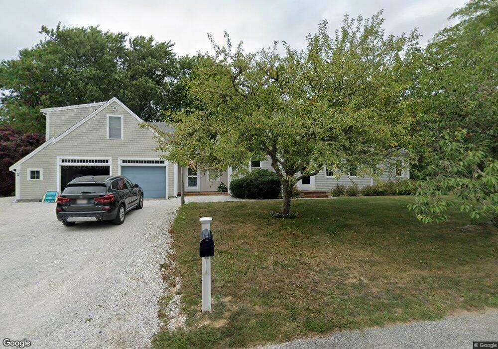
4 Twiss Rd Orleans, MA 02653
Estimated Value: $1,358,000 - $1,657,000
4
Beds
4
Baths
2,500
Sq Ft
$602/Sq Ft
Est. Value
About This Home
This home is located at 4 Twiss Rd, Orleans, MA 02653 and is currently estimated at $1,504,047, approximately $601 per square foot. 4 Twiss Rd is a home located in Barnstable County with nearby schools including Orleans Elementary School, Nauset Regional Middle School, and Nauset Regional High School.
Ownership History
Date
Name
Owned For
Owner Type
Purchase Details
Closed on
Dec 20, 2005
Sold by
Williams J Bruce and Williams Roberta T
Bought by
Thomas K Robbins T
Current Estimated Value
Home Financials for this Owner
Home Financials are based on the most recent Mortgage that was taken out on this home.
Original Mortgage
$500,000
Outstanding Balance
$280,584
Interest Rate
6.34%
Mortgage Type
Purchase Money Mortgage
Estimated Equity
$1,223,463
Create a Home Valuation Report for This Property
The Home Valuation Report is an in-depth analysis detailing your home's value as well as a comparison with similar homes in the area
Home Values in the Area
Average Home Value in this Area
Purchase History
| Date | Buyer | Sale Price | Title Company |
|---|---|---|---|
| Thomas K Robbins T | $753,000 | -- |
Source: Public Records
Mortgage History
| Date | Status | Borrower | Loan Amount |
|---|---|---|---|
| Open | Thomas K Robbins T | $500,000 | |
| Previous Owner | Thomas K Robbins T | $300,000 |
Source: Public Records
Tax History Compared to Growth
Tax History
| Year | Tax Paid | Tax Assessment Tax Assessment Total Assessment is a certain percentage of the fair market value that is determined by local assessors to be the total taxable value of land and additions on the property. | Land | Improvement |
|---|---|---|---|---|
| 2025 | $7,696 | $1,233,400 | $528,100 | $705,300 |
| 2024 | $7,484 | $1,167,600 | $517,700 | $649,900 |
| 2023 | $6,895 | $1,106,700 | $518,300 | $588,400 |
| 2022 | $5,968 | $828,900 | $376,900 | $452,000 |
| 2021 | $5,784 | $737,700 | $360,500 | $377,200 |
| 2020 | $5,634 | $745,300 | $370,800 | $374,500 |
| 2019 | $5,384 | $727,600 | $360,400 | $367,200 |
| 2018 | $4,640 | $699,900 | $353,500 | $346,400 |
| 2017 | $4,328 | $683,700 | $353,500 | $330,200 |
| 2016 | $4,004 | $619,800 | $292,200 | $327,600 |
| 2015 | $3,907 | $608,500 | $286,400 | $322,100 |
Source: Public Records
Map
Nearby Homes
- 11 Fox Ridge Dr
- 15 Dale Ann Dr
- 25 Pleasant View Dr
- 5 Kidd Way
- 64 Pershing Ln
- 66 Tides End Ln
- 63 Field Rd
- 7 Brick Hill Rd
- 7 Brick Hill Ext Rd
- 63 Old Field Rd
- 131 Pochet Rd
- 24 Sparrowhawk Rd
- 75 Monument Rd
- 34 Cedar Land Rd
- 36 Cedar Land Rd
- 216 Main St
- 6 Apple Way
- 18 Cole Place
- 31 Monument Rd
- 19 Nauset Farms Private Way
- 144 Barley Neck Rd
- 136 Barley Neck Rd
- 10 Twiss Rd
- 148 Barley Neck Rd
- 139 Barley Neck Rd
- 134 Barley Neck Rd
- 145 Barley Neck Rd
- 9 Twiss Rd
- 5 Briar Spring Rd
- 1 Towhee Ln
- 137 Barley Neck Rd
- 10 The Ln
- 2 Jacknife Point Rd
- 2 Jack Knife Point Rd
- 12 Twiss Rd
- 9 Briar Spring Rd
- 152 Barley Neck Rd
- 7 Orie Ln
- 14 Towhee Ln
- 4 Briar Spring Rd