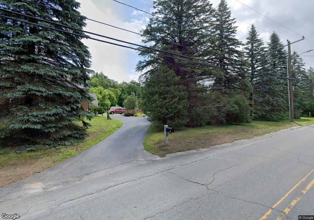
4 Unity Rd Newport, NH 03773
Estimated Value: $424,000 - $494,000
4
Beds
2
Baths
2,634
Sq Ft
$173/Sq Ft
Est. Value
About This Home
This home is located at 4 Unity Rd, Newport, NH 03773 and is currently estimated at $456,068, approximately $173 per square foot. 4 Unity Rd is a home located in Sullivan County with nearby schools including Richards Elementary School, Newport High School, and Newport Montessori School.
Create a Home Valuation Report for This Property
The Home Valuation Report is an in-depth analysis detailing your home's value as well as a comparison with similar homes in the area
Home Values in the Area
Average Home Value in this Area
Tax History Compared to Growth
Tax History
| Year | Tax Paid | Tax Assessment Tax Assessment Total Assessment is a certain percentage of the fair market value that is determined by local assessors to be the total taxable value of land and additions on the property. | Land | Improvement |
|---|---|---|---|---|
| 2024 | $8,818 | $362,721 | $108,721 | $254,000 |
| 2023 | $8,554 | $362,784 | $108,784 | $254,000 |
| 2022 | $7,582 | $362,776 | $108,776 | $254,000 |
| 2021 | $7,376 | $223,529 | $73,729 | $149,800 |
| 2020 | $7,399 | $223,532 | $73,732 | $149,800 |
| 2019 | $7,273 | $223,576 | $73,776 | $149,800 |
| 2018 | $6,797 | $223,596 | $73,796 | $149,800 |
| 2017 | $6,715 | $223,527 | $73,727 | $149,800 |
| 2016 | $6,508 | $226,528 | $64,428 | $162,100 |
| 2015 | $6,626 | $226,528 | $64,428 | $162,100 |
| 2014 | $7,166 | $226,493 | $64,393 | $162,100 |
| 2013 | $6,795 | $226,586 | $72,900 | $153,686 |
Source: Public Records
Map
Nearby Homes
- 00 Golf Dr
- 0 Golf Dr Unit 12 4622528
- 0 Golf Dr Unit 4991545
- 0 Golf Dr Unit 4991537
- 0 Golf Dr Unit 4944889
- 0 Golf Dr Unit 12 4864055
- 0 Golf Dr Unit 4790096
- 18 Jefferson Ave
- 12 Jefferson Ave
- 0 Jefferson Ave
- 3 Golf Dr
- 6 Golf Dr
- 16 Unity Rd
- 27 John Stark Hwy
- 21 John Stark Hwy
- 41 John Stark Hwy
- 53 John Stark Hwy
- 49 John Stark Hwy
- 3 John Stark Hwy
- 43 John Stark Hwy